Taylorsville in Salt Lake County, Utah — The American Mountains (Southwest)
Millrace
1855
Photographed by Andrew Johnson, September 20, 2018
1. Millrace Marker
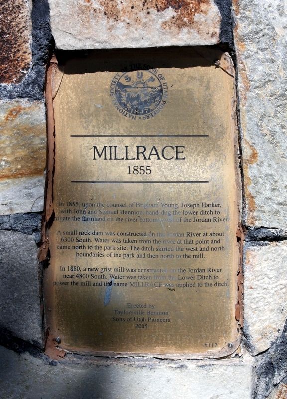
In 1855, upon the counsel of Brigham Young, Joseph Harker, with John and Samuel Bennion, hand-dug the lower ditch to irrigate the farmland on the river bottoms west of the Jordan River.
A small rock dam was constructed on the Jordan River at about 6300 South. Water was taken from the river at that point and came north to the park site. The ditch skirted the west and north boundaries of the park and then north to the mill.
In 1880, a new grist mill was constructed on the Jordan River near 4800 South. Water was taken from the Lower Ditch to power the mill and the name Millrace was applied to the ditch.
Erected 2005 by Sons of Utah Pioneers. (Marker Number 117.)
Topics and series. This historical marker is listed in these topic lists: Agriculture • Industry & Commerce • Man-Made Features. In addition, it is included in the Sons of Utah Pioneers series list. A significant historical year for this entry is 1855.
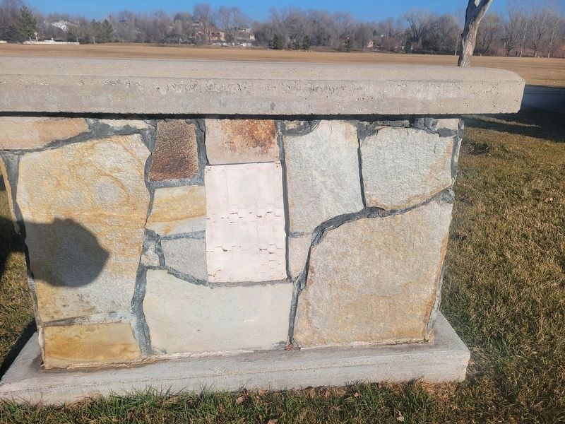
Location. Marker is missing. It was located near 40° 39.272′ N, 111° 55.476′ W. Marker was in Taylorsville, Utah, in Salt Lake County. It could be reached from W 5400 S near Utah Route 173. The
this page online

Regionally, this marker was in the Wasatch Front and in Greater Salt Lake. It was also in the American Mountain West and on the Colorado Plateau. Globally, it was in North America, the Rocky Mountains, the Western Hemisphere, the Western World, and the Anglosphere. Historically, it found itself in what was once New Spain and also Mexico’s Alta California.
Other nearby markers. At least 8 other markers are within walking distance of this location: John and Jeanette Gerrard House (approx. 0.8 miles away); Taylorsville Baptisms (approx. 0.8 miles away); Manure Spreader (approx. 0.8 miles away); Potato Machinery (approx. 0.8 miles away); Sulky Plow (approx. 0.8 miles away); Mowers (approx. 0.8 miles away); Hay Loaders (approx. 0.8 miles away); Hay Rake (approx. 0.8 miles away). Touch for a list and map of all markers in Taylorsville.
Photographed by Andrew Johnson, September 20, 2018
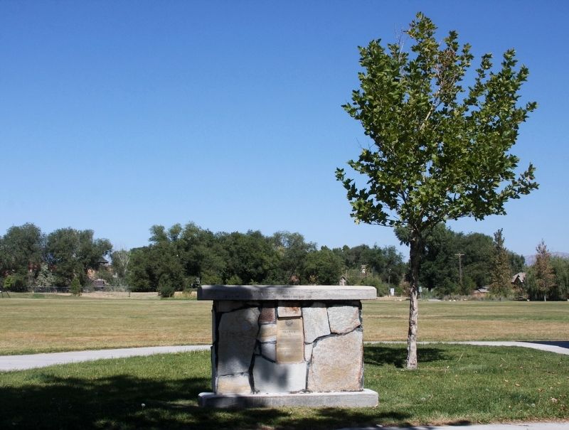
2. Millrace Marker
Photographed by Jeremy Snow, January 15, 2026
3. Millrace Marker Location
Credits. This page was last revised on January 20, 2026. It was originally submitted on September 21, 2018, by Andrew Johnson of Salt Lake City, Utah. This page has been viewed 645 times since then and 70 times this year. Last updated on January 16, 2026, by Jeremy Snow of Cedar City, Utah. Photos: 1, 2. submitted on September 21, 2018, by Andrew Johnson of Salt Lake City, Utah. 3. submitted on January 16, 2026, by Jeremy Snow of Cedar City, Utah. • Devry Becker Jones was the editor who published this page.
