Terry Sanford in Fayetteville in Cumberland County, North Carolina — The American South (South Atlantic)
Henry F. Shaw Cross Creek Linear Park
Photographed by Devry Becker Jones (CC0), January 15, 2026
1. Henry F. Shaw Cross Creek Linear Park Marker
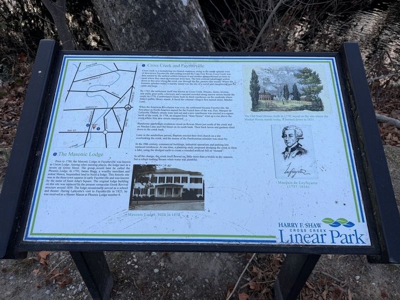
❶ Cross Creek and Fayetteville
Cross creek is a meandering two branch waterway rising in the sandy uplands west of downtown Fayetteville and curling toward the Cape Fear River. Cross Creek was thus named by the earliest settlers because it and another stream seemed at times to cross where they meet downstream from here. The first colonial inhabitants settled down in this area where the creek cuts through the flat, pasture-like terrain. Where the fountain splashes today, a marshy island was the site of a corral and slaughtering pen for cattle and hogs.
By 1765, the settlement itself was known as Cross Creek. Houses, stores, taverns, saw mills, grist mills, a brewery and a tanyard crowded along narrow streets beside the creek. In 1778, Cumberland County built its third courthouse on the creekside where today's public library stands. It faced the colonial village's first named street, Maiden Lane.
When the American Revolution was over, the settlement became Fayetteville, the first place in North America named for the French hero of the war, Gen. Marquis de Lafayette. Orderly streets were laid out and a new
this page online
Handsome antebellum residences stood on Rowan Street just north of the creek and on Maiden Lane and Old Street on its south bank. Their back lawns and gardens tilted down to the creek bank.
Later in the antebellum period, Baptists erected their first church on a site overlooking the creek, and the manse of the Presbyterian minister was close by.
In the 20th century, commercial buildings, industrial operations and parking lots replaced residences. At one time, a planning study proposed dredging the creek to form a lake, using the dredged earth to create a rounded artificial hill or "mound".
In all the change, the creek itself flowed on, little more than a trickle in dry seasons, but a robust rushing stream when water was plentiful.
❷ The Masonic Lodge
Prior to 1788, the Masonic Lodge in Fayetteville was known as Union Lodge. Among other meeting places, the lodge met in a tavern on Green Street. The group would later be called the Phoenix Lodge. In 1793,
Photographed by Devry Becker Jones (CC0), January 15, 2026
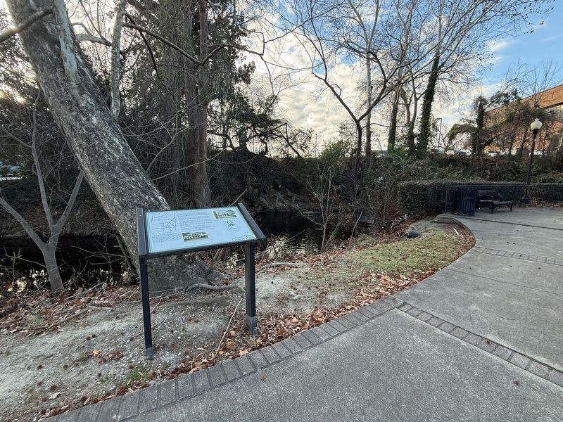
2. Henry F. Shaw Cross Creek Linear Park Marker
[Captions:]
Masonic Lodge, built in 1858
The Old State House, built in 1778, stood on the site where the Market House stands today. It burned down in 1831.
Marquis de Layfayette (1757-1834)
Topics and series. This historical marker is listed in these topic lists: Colonial Era • Fraternal or Sororal Organizations • Settlements & Settlers • Waterways & Vessels. In addition, it is included in the Lafayette’s Farewell Tour series list. A significant historical year for this entry is 1765.
Location. 35° 3.348′ N, 78° 52.828′ W. Marker is in Fayetteville, North Carolina, in Cumberland County. It is in Terry Sanford. It can be reached from Mason Street east of Ray Avenue, on the right when traveling east. Touch for map. Marker is at or near this postal address: 315 Mason St, Fayetteville NC 28301, United States of America. Touch for directions.

Regionally, this marker is in the Coastal Plain. It is also in the American South and specifically in the Upper South. Globally, it is in North America, the Western Hemisphere, the Western World, and the Anglosphere. Historically, it finds itself in what was once the territory of the Mississippian Culture, one of the original Thirteen Colonies, one of the Confederate States of America, and the Antebellum South.
Other nearby markers. At least 8 other markers are within walking distance of this marker: Phoenix Masonic Lodge #8 (within shouting distance of this marker); a different marker also named Phoenix Masonic Lodge #8 (within shouting distance of this marker); Phoenix Lodge No. 8 (within shouting distance of this marker); Lafayette's Tour (within shouting distance of this marker); Plummer Bridge (about 700 feet away, measured in a direct line); Settlement of the Upper Cape Fear (approx. 0.2 miles away); Sherman's Army (approx. 0.2 miles away); Cornwallis (approx. 0.2 miles away). Touch for a list and map of all markers in Fayetteville.
Credits. This page was last revised on January 19, 2026. It was originally submitted on January 19, 2026, by Devry Becker Jones of Washington, District of Columbia. This page has been viewed 47 times since then. Photos: 1, 2. submitted on January 19, 2026, by Devry Becker Jones of Washington, District of Columbia.
