Marker Logo
THE HISTORICAL
MARKER DATABASE
“Bite-Size Bits of Local, National, and Global History”
Camden in Kershaw County, South Carolina — The American South (South Atlantic)
 

The Great Wagon Road
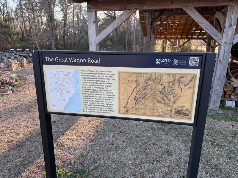
 
 
The Great Wagon Road Marker image. Click for full size.
Photographed by Devry Becker Jones (CC0), January 15, 2026
1. The Great Wagon Road Marker
Inscription. The Great Wagon Road was a corridor (not just one single road) built on a series of indigenous trails through the Great Appalachian Valley and played a key role in the settlement of the southern colonial frontier. the road was heavily traveled by colonial settlers originally coming out of Philadelphia, PA — settlements popped up all along the road through PA, MD, VA, NC, and SC. By the time of the American Revolution the Great Wagon Road was well-established and went from Philadelphia all the way to Augusta, GA. In Camden, the Great Wagon road was laid upon a Catawba trading trail. The Battle of Camden was fought on the road roughly eight miles north of the town, which was part of the Great Wagon Road migration route.
 
Erected by Historic Camden Foundation.
 
Topics. This historical marker is listed in these topic lists: Colonial EraRoads & VehiclesSettlements & SettlersWar, US Revolutionary.
 
Location. 34° 13.947′ N, 80° 36.201′ W. Marker is in Camden, South Carolina, in Kershaw County. It can be reached from South Carolina Route 28-703 east of
Paid Advertisement
Click or scan to see
this page online
Broad Street (U.S. 521), on the right when traveling east. Touch for map. Marker is at or near this postal address: 212A Broad St, Camden SC 29020, United States of America. Touch for directions.

Regionally, this marker is in the Midlands and in the Olde English District. It is also in the American South and specifically in the Deep South. Globally, it is in North America, the Western Hemisphere, the Western World, and the Anglosphere. Historically, it finds itself in what was once the territory of the Mississippian Culture, one of the original Thirteen Colonies, one of the Confederate States of America, and the Antebellum South.

Other nearby markers. At least 8 other markers are within walking distance of this marker: Conestoga Wagons (here, next to this marker); Building Kershaw's Gunpowder Magazine (a few steps from this marker); Bradley House (a few steps from this marker); Powder Magazine (within shouting distance of this marker); African Americans Choose Sides (within shouting distance of this marker); Clay Pits for Brick & Pottery (within shouting distance of this marker); Indigenous Trading Routes (within shouting
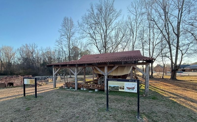
Conestoga Wagon Display image. Click for full size.
Photographed by Devry Becker Jones (CC0), January 15, 2026
2. Conestoga Wagon Display
distance of this marker); Beast of Prey (within shouting distance of this marker). Touch for a list and map of all markers in Camden.
 
 
Credits. This page was last revised on January 19, 2026. It was originally submitted on January 19, 2026, by Devry Becker Jones of Washington, District of Columbia. This page has been viewed 48 times since then. Photos:   1, 2. submitted on January 19, 2026, by Devry Becker Jones of Washington, District of Columbia.

m=291951

CeraNet Cloud Computing sponsors the Historical Marker Database.
This website earns income from purchases you make after using our links to Amazon.com. We appreciate your support.
Paid Advertisement
Jul. 31, 2026
