Sergeant Bluff in Woodbury County, Iowa — The American Midwest (Upper Plains)
Sergeant Floyd Monument
⎯⎯⎯
Lewis and Clark Expedition
December 28, 2025
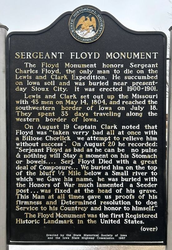
1. Sergeant Floyd Monument side of marker
Sergeant Floyd Monument
The Floyd Monument honors Sergeant Charles Floyd, the only man to die on the Lewis and Clark Expedition. He succumbed on Iowa soil and was buried near present-day Sioux City. It was erected 1900-1901.
Lewis and Clark set out up the Missouri with 43 men on May 14, 1804, and reached the southwestern border of Iowa on July 18. They spent 33 days traveling along the western border of Iowa.
On August 19 Captain Clark noted that Floyd was "taken verry bad all at once with a Biliose Chorlick we attempt to relieve him without success". On August 20 he recorded: "Serjeant Floyd as bad as he can be no pulse & nothing will Stay a moment on his Stomach or bowels.... Serj. Floyd Died with a great deal of Composure... We buried him on top of the bluff ½ Mile below a Small river to which we Gave his name, he was buried with the Honors of War much lamented a Seeder post... was fixed at the head of his grave. This Man at all times gave us proofs of his firmness and Determined resolution to doe Service to his Countrey and honor to himself."
The Floyd Monument was the first Registered Historic Landmark
this page online
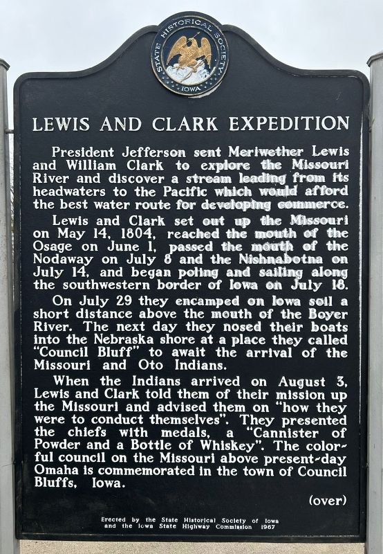
Lewis and Clark Expedition
President Jefferson sent Meriwether Lewis and William Clark to explore the Missouri River and discover a stream leading from its headwaters to the Pacific which would afford the best water route for developing commerce.
Lewis and Clark set out up the Missouri on May 14, 1804, reached the mouth of the Osage on June 1, passed the mouth of the Nodaway on July 8 and the Nishnabotna on July 14, and began poling and sailing along the southwestern border of Iowa on July 18.
On July 29 they encamped on Iowa soil a short distance above the mouth of the Boyer River. The next day they nosed their boats into the Nebraska shore at a place they called "Council Bluff" to await the arrival of the Missouri and Oto Indians.
When the Indians arrived on August 3, Lewis and Clark told them of their mission up the Missouri and advised them on "how they were to conduct themselves". They presented the chiefs with medals, a "Cannister of Powder and a Bottle of Whiskey". The colorful council on the Missouri above present-day Omaha is commemorated in the town of Council Bluffs, Iowa.
Erected 1967
December 28, 2025
2. Lewis and Clark Expedition side of marker
Topics and series. This historical marker is listed in these topic lists: Cemeteries & Burial Sites • Exploration • Waterways & Vessels. In addition, it is included in the Iowa - State Historical Society of Iowa series list. A significant historical date for this entry is August 20, 1804.
Location. 42° 22.495′ N, 96° 21.176′ W. Marker is in Sergeant Bluff, Iowa, in Woodbury County. It is on Interstate 29 at milepost 139, 3.6 miles north of 260th Street (County Highway D51), on the right when traveling north. Located at the I-29 Sergeant Bluff Northbound Rest Area. Touch for map. Marker is in this post office area: Sergeant Bluff IA 51054, United States of America. Touch for directions.

Regionally, this marker is in Western Iowa and in Loess Hills. It is also in the American Midwest, in the Lewis & Clark Corridor, and in the Corn Belt. Globally, it is in North America, the Western Hemisphere, the Western World, and the Anglosphere. Historically, it finds itself in what was once the territory of the Mississippian Culture and also
December 28, 2025
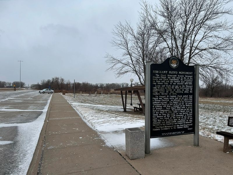
3. Sergeant Floyd Monument / Lewis and Clark Expedition Marker
Other nearby markers. At least 8 other markers are within 6 miles of this marker, measured as the crow flies: Don't Just Travel to Get There, Enjoy the Drive (a few steps from this marker); "Corps Of Discovery" (about 500 feet away, measured in a direct line); August 3, 1804 (about 500 feet away); August 8, 1804 (about 500 feet away); Lewis and Clark Expedition / Sergeant Floyd Monument (about 500 feet away); August 16, 1804 (about 600 feet away); Territorial Church (approx. 4.2 miles away in Nebraska); Tonwantonga (approx. 5.8 miles away in Nebraska). Touch for a list and map of all markers in Sergeant Bluff.
December 28, 2025
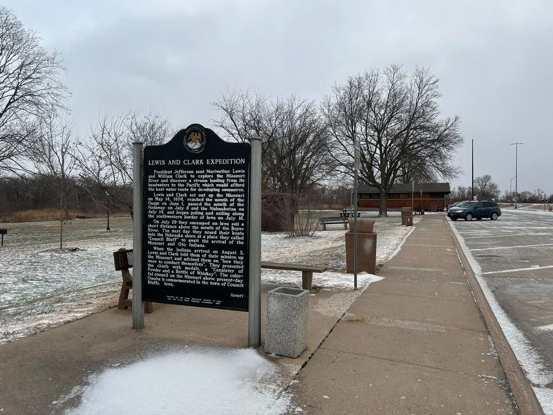
4. Sergeant Floyd Monument / Lewis and Clark Expedition Marker
Credits. This page was last revised on January 20, 2026. It was originally submitted on January 20, 2026. This page has been viewed 63 times since then. Photos: 1, 2, 3, 4. submitted on January 20, 2026.
