Midtown - Downtown in Columbia in Richland County, South Carolina — The American South (South Atlantic)
Historic Columbia Canal
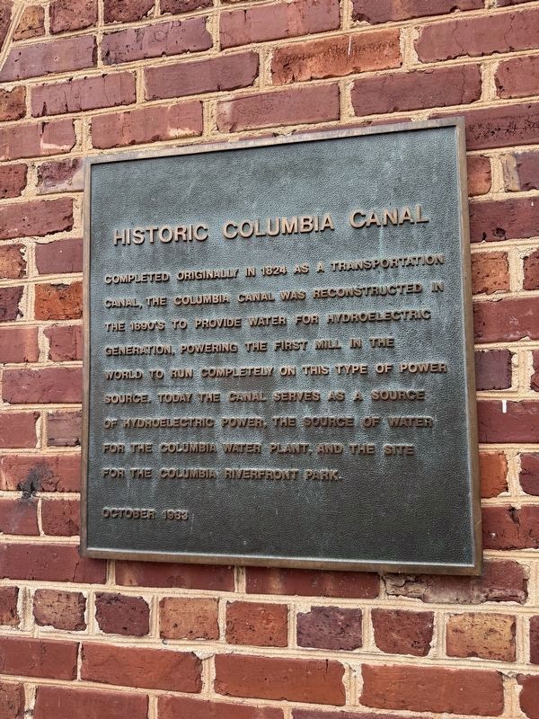
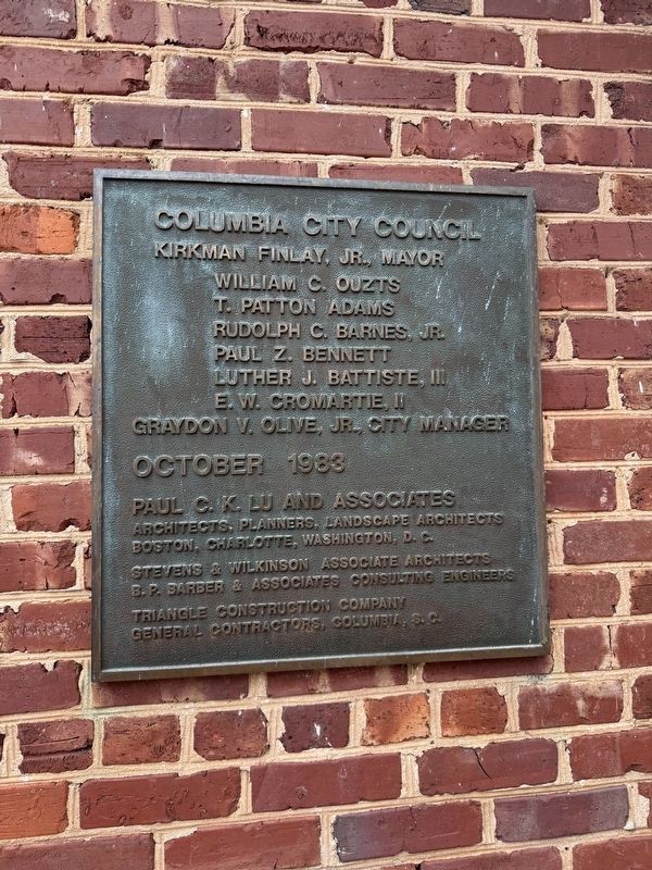
Erected 1983 by City of Columbia.
Topics. This historical marker is listed in these topic lists: Industry & Commerce • Parks & Recreational Areas • Waterways & Vessels. A significant historical year for this entry is 1824.
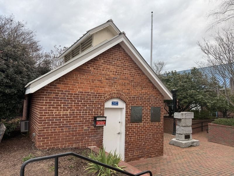
Location. 34° 0.175′ N, 81° 3.206′ W. Marker is in Columbia, South Carolina, in Richland County. It is in Midtown - Downtown. It can be reached from Gist Street north of Blanding Street, on the right when traveling south. Touch for map. Marker is at or near this postal address: 300 Laurel St, Columbia SC 29201, United States of America. Touch for directions.

Regionally, this marker is in the Midlands. It is also in the American South and specifically in the Deep South. Globally, it is in North
this page online
Other nearby markers. At least 8 other markers are within walking distance of this marker: Irish Canal Workers (here, next to this marker); In Memory of the Irish Who Built the Canal (here, next to this marker); Riverfront Park (a few steps from this marker); Waterworks (a few steps from this marker); Hydroelectric Plant (within shouting distance of this marker); Pump House (about 300 feet away, measured in a direct line); a different marker also named Historic Columbia Canal (about 700 feet away); Howard School Site (approx. ¼ mile away). Touch for a list and map of all markers in Columbia.
Credits. This page was last revised on January 24, 2026. It was originally submitted on January 24, 2026, by Devry Becker Jones of Washington, District of Columbia. This page has been viewed 33 times since then. Photos: 1, 2, 3. submitted on January 24, 2026, by Devry Becker Jones of Washington, District of Columbia.
