
Midtown - Downtown in Columbia in Richland County, South Carolina — The American South (South Atlantic)
History Under Foot
A Gift from the Darnall W. and Susan F. Boyd Foundation
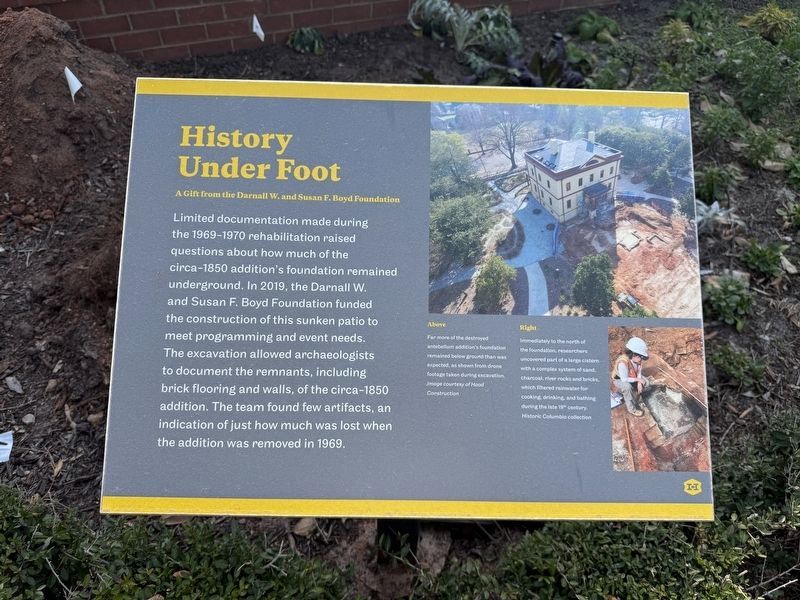
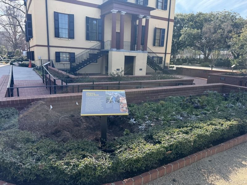
Limited documentation made during the 1969-1970 rehabilitation raised questions about how much of the circa-1850 addition's foundation remained underground. In 2019, the Darnall W. and Susan F. Boyd Foundation funded the construction of this sunken patio to meet programming and event needs. The excavation allowed archaeologists to document the remnants, including brick flooring and walls, of the circa-1850 addition. The team found few artifacts, an indication of just how much was lost when the addition was removed in 1969.
[Captions:]
Far more of the destroyed antebellum addition's foundation remained below ground than was expected, as shown from drone footage taken during excavation.
Immediately to the north of the foundation, researchers uncovered part of a large cistern with a complex system of sand, charcoal, river rocks and bricks, which filtered rainwater for cooking, drinking, and bathing during the late 19th century.
Erected by Historic Columbia Foundation.
Topics. This historical marker is listed in these topic lists: Anthropology & Archaeology • Parks & Recreational Areas. A significant historical year for this entry is 2019.
Location. 34° 0.646′ N,
this page online

Regionally, this marker is in the Midlands. It is also in the American South and specifically in the Deep South. Globally, it is in North America, the Western Hemisphere, the Western World, and the Anglosphere. Historically, it finds itself in what was once the territory of the Mississippian Culture, one of the original Thirteen Colonies, one of the Confederate States of America, and the Antebellum South.
Other nearby markers. At least 8 other markers are within walking distance of this marker: Half the House It Used to Be (a few steps from this marker); Separate and Unequal (a few steps from this marker); Remembering Past People (a few steps from this marker); "Everything of the best. Silver, glass, china, table linen - damask - &c&c" (a few steps from this marker);
Credits. This page was last revised on January 24, 2026. It was originally submitted on January 24, 2026, by Devry Becker Jones of Washington, District of Columbia. This page has been viewed 52 times since then. Photos: 1, 2. submitted on January 24, 2026, by Devry Becker Jones of Washington, District of Columbia.
