
Midtown - Downtown in Columbia in Richland County, South Carolina — The American South (South Atlantic)
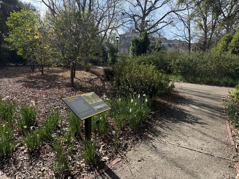
Soldiers and Sisters

In February 1865, the Preston family fled Columbia shortly before the Union Army occupied the city. General John Logan used their abandoned mansion for his headquarters. After the Ursuline convent was destroyed during the burning of Columbia on February 17th, Mother Superior Baptista Lynch and her students sought refuge at the estate before relocating southeast of the city. The Catholic sisters returned decades later to use the property as a convent and school between 1888 and 1890.
[Captions:]
As illustrated in the July 21, 1866 edition of Harper's Weekly, portions of Main Street, including the Ursuline convent [at far left], remained in ruins for more than a year after the burning of Columbia.
This drawing from Harper's Weekly shows this area of the estate's grounds during Logan's brief stay here in February 1865. The height of the hedges suggests they may be made from sculpted cherry laurel bushes, known to have been growing here.
Erected by Historic Columbia Foundation.
Topics. This historical marker is listed in these topic lists: Education • Religion & Religious Structures • War, US Civil
this page online
Location. 34° 0.639′ N, 81° 1.797′ W. Marker is in Columbia, South Carolina, in Richland County. It is in Midtown - Downtown. It can be reached from Blanding Street east of Pickens Street, on the left when traveling east. Touch for map. Marker is at or near this postal address: 1613 Blanding St, Columbia SC 29201, United States of America. Touch for directions.

Regionally, this marker is in the Midlands. It is also in the American South and specifically in the Deep South. Globally, it is in North America, the Western Hemisphere, the Western World, and the Anglosphere. Historically, it finds itself in what was once the territory of the Mississippian Culture, one of the original Thirteen Colonies, one of the Confederate States of America, and the Antebellum South.
Other nearby markers. At least 8 other markers are within walking distance of this marker: Remembering Past People (within shouting distance of this marker); A Gateway into a Privileged World (within shouting distance of this marker); Reclaiming a Horticultural Destination (within shouting distance of
Credits. This page was last revised on January 25, 2026. It was originally submitted on January 25, 2026, by Devry Becker Jones of Washington, District of Columbia. This page has been viewed 50 times since then. Photos: 1, 2. submitted on January 25, 2026, by Devry Becker Jones of Washington, District of Columbia.
