Sebastian in Indian River County, Florida — The American South (South Atlantic)
1715 "Spanish Plate Fleet"
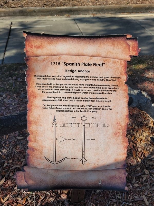
Kedge Anchor
Photographed by James Hulse, January 7, 2026
1. 1715 "Spanish Plate Fleet" Marker
This encrusted iron Kedge anchor would have weighted approximately 350 lbs. It was one of the smallest of the ship's anchors and would have been lashed and stored on both sides of the ship. It would have been used to manually bring the vessel back to a desired depth of water or a preferred location.
The large iron ring of the Kedge anchor has a diameter of approximately 20 inches and a shank that is 9 feet 1 inch in length.
This Kedge anchor was discovered in the 1960's and was donated to Mel Fisher Center museum in 1989, by Mr. Rex Stocker, one of the original partners in the Real 8 Company.
Topics. This historical marker is listed in these topic lists: Colonial Era • Waterways & Vessels. A significant historical year for this entry is 1989.
Location. 27° 49.108′ N, 80° 28.185′ W. Marker is in Sebastian, Florida, in Indian River County. It is at the intersection of U.S. 1 and Jefferson Street, on the right when traveling north on U.S. 1. The marker is located
this page online

Regionally, this marker is in Florida’s Space Coast. It is also in the American South and on the Eastern Seaboard. Globally, it is in the North Atlantic Region, North America, a Gulf of Mexico state, the Western Hemisphere, the Western World, and the Anglosphere. Historically, it finds itself in what was once New Spain, the territory of the Mississippian Culture, one of the Confederate States of America, and the Antebellum South.
Other nearby markers. At least 8 other markers are within walking distance of this marker: Cannon (a few steps from this marker); Nuestra Senora de Atocha (within shouting distance of this marker); Iron Cannon (within shouting distance of this marker); Historic Hardee Oak (about 500 feet away, measured in a direct line); Sebastian (about 500 feet away); Sebastian Grammar School (approx. 0.4 miles away); War Memorial (approx. 0.7 miles away); William Bartram Trail (approx. ¾ mile away). Touch for a list and map
Photographed by James Hulse, January 7, 2026
2. 1715 "Spanish Plate Fleet" Marker
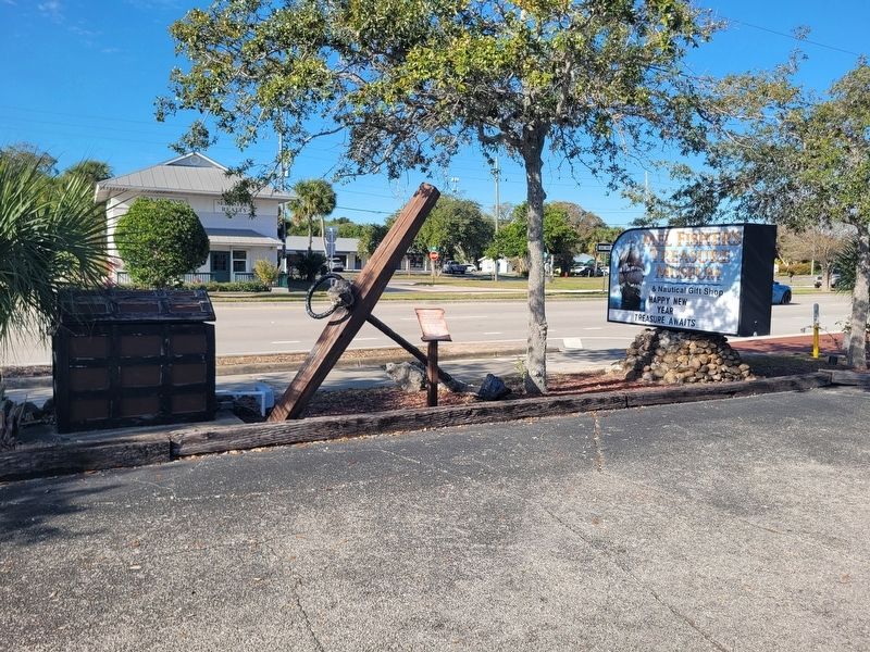
The view of the anchor and marker in front of the Mel Fisher Treasure Museum.
Credits. This page was last revised on January 28, 2026. It was originally submitted on January 27, 2026, by James Hulse of Medina, Texas. This page has been viewed 57 times since then. Photos: 1, 2. submitted on January 28, 2026, by James Hulse of Medina, Texas.
