Hana in Maui County, Hawaii — Hawaiian Island Archipelago (Pacific Ocean)
Wahi Kapu (Sacred Place) - Mokae Cove - Hamoa Beach
Photographed by Darren Jefferson Clay, December 8, 2025
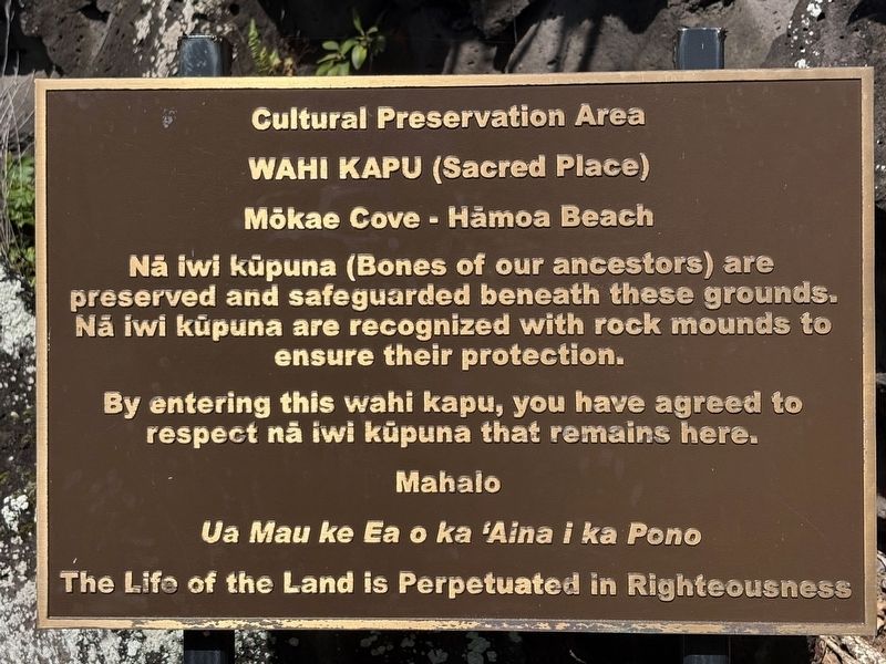
1. Wahi Kapu (Sacred Place) - Mokae Cove - Hamoa Beach Marker

Mökae Cove - Hämoa Beach
By entering this wahi kapu, you have agreed to respect na iwi küpuna that remains here.
Ua Mau ke Ea o ka 'Aina i ka Pono
Topics. This historical marker is listed in these topic lists: Cemeteries & Burial Sites • Indigenous Peoples and Communities.
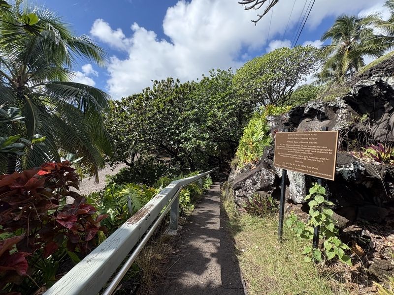
Location. 20° 43.2′ N, 155° 59.223′ W. Marker is in Hana, Hawaii, in Maui County. It can be reached from Haneoo Road east of Hana Highway (Hawaii Route 360), on the right when traveling east. The marker can be found down the staircase going down to Hamoa Beach. Touch for map. Marker is at or near this postal address: 580 Haneoo Rd, Hana HI 96713, United States of America. Touch for directions.

Regionally, it is in North America, in Polynesia, in the Pacific Ocean, in North Pacific, on the Pacific Rim,
this page online
Other nearby markers. At least 8 other markers are within 6 miles of this marker, measured as the crow flies: In Memoriam (approx. 2.4 miles away); Queen Ka'Ahumanu (approx. 2.4 miles away); Ola I Ka Wai O Ka 'Opua or There is Life in the Water From the Clouds (approx. 5.3 miles away); Kai uli, The Deep Blue Sea (approx. 5.3 miles away); The Mahele (approx. 5.4 miles away); The Mahele - One Family's Story (approx. 5.4 miles away); Restoring the Hala Forest (approx. 5.4 miles away); He Huliau ma Kipahulu or Change in Kipahulu (approx. 5.4 miles away). Touch for a list and map of all markers in Hana.
Photographed by Darren Jefferson Clay, December 8, 2025
2. Wahi Kapu (Sacred Place) - Mokae Cove - Hamoa Beach Marker
Credits. This page was last revised on February 2, 2026. It was originally submitted on January 28, 2026, by Darren Jefferson Clay of Duluth, Georgia. This page has been viewed 65 times since then. Photos: 1, 2. submitted on January 31, 2026, by Darren Jefferson Clay of Duluth, Georgia. • Devry Becker Jones was the editor who published this page.
