Everglades National Park in Miami-Dade County, Florida — The American South (South Atlantic)
The River of Grass

Photographed by James Hulse, January 8, 2026
1. The River of Grass Marker
Erected by Everglades National Park.
Topics. This historical marker is listed in these topic lists: Animals • Parks & Recreational Areas • Waterways & Vessels. A significant historical year for this entry is 1947.
Location. 25° 45.305′ N, 80° 45.99′ W. Marker is in Everglades National Park, Florida, in Miami-Dade County. It is on West Road 0.4 miles south of Tamiami Trail (U.S. 41). The marker is located along the hiking trail just south of the Shark Valley Visitor Center. Touch for map. Marker is at or near this postal address: 36000 West Rd, Homestead FL 33030, United States of America. Touch for directions.

Regionally, this marker is in South Florida, on the Gold Coast, in the Everglades, and in Greater Miami. It is also in the American South and on the Eastern Seaboard. Globally, it is in the North Atlantic Region, North America, a Gulf of Mexico state, the Western Hemisphere, the Western World, and the Anglosphere. Historically, it finds itself in what was once New Spain, the territory of the Mississippian Culture, one of the Confederate States of America, and the Antebellum South.
Other nearby markers. At
this page online

Photographed by James Hulse, January 8, 2026
2. The River of Grass Marker
The marker is located along the walkway on the left side.

Photographed by James Hulse, January 8, 2026
3. The River of Grass Marker
A water bird along the canal next to the marker.
Photographed by James Hulse, January 8, 2026
4. The River of Grass Marker
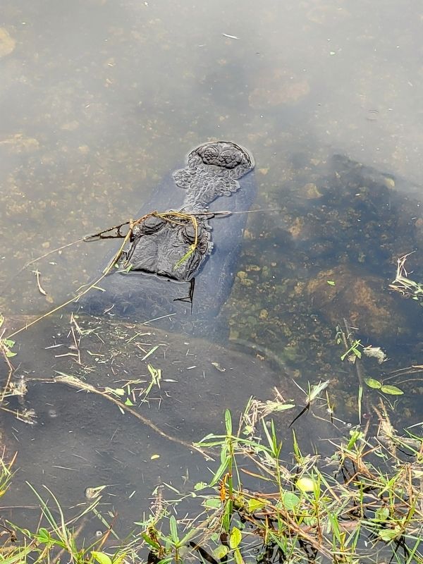
An alligator hiding in a culvert along the water canal.
Credits. This page was last revised on February 1, 2026. It was originally submitted on January 30, 2026, by James Hulse of Medina, Texas. This page has been viewed 53 times since then. Photos: 1, 2, 3, 4. submitted on February 1, 2026, by James Hulse of Medina, Texas.
