
Wailuku in Maui County, Hawaii — Hawaiian Island Archipelago (Pacific Ocean)
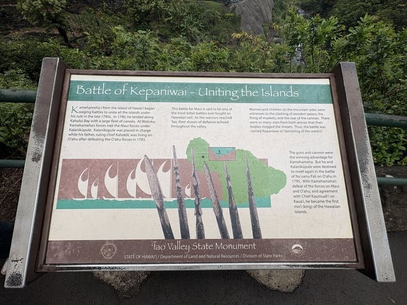
Battle of Kepaniwai - Uniting the Islands
Photographed by Darren Jefferson Clay, December 7, 2025
1. Battle of Kepaniwai - Uniting the Islands Marker
Kamehameha I from the island of Hawai'i began waging battles to unite all the islands under waging battles to unite all the islands under his rule in the late 1780s. In 1790, he landed along Kahului Bay with a large fleet of canoes. At Wailuku, Kamehameha's forces met the Maui forces under Kalanikúpule. Kalanikupule was placed in charge while his father, ruling chief Kahekili, was living on O'ahu after defeating the O'ahu forces in 1783.
This battle for Maul is said to be one of the most bitter battles ever fought on Hawaiian soil. As the warriors reached Iao, their shouts of defiance echoed throughout the valley.
Women and children on the mountain sides were witnesses to the clashing of wooden spears, the firing of muskets, and the roar of the cannon. There were so many slain from both armies that their bodies clogged the stream. Thus, the battle was named Kepaniwal or "damming of the waters".
The guns and cannon were the winning advantage for Kamehameha. But he and Kalaniküpule were destined to meet again in the battle of Nu'uanu Pali on O'ahu in 1795. With Kamehameha's defeat of the forces on Maui and O'ahu,
this page online
Topics. This historical marker is listed in these topic lists: Indigenous Peoples and Communities • Wars, Non-US. A significant historical year for this entry is 1790.
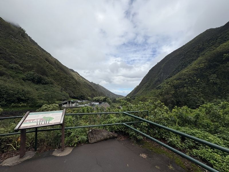
Location. 20° 52.812′ N, 156° 32.782′ W. Marker is in Wailuku, Hawaii, in Maui County. It can be reached from Iao Needle Lookout Trail and Ethnobotanical Loop west of Iao Valley Road, on the left. Touch for map. Marker is at or near this postal address: 898 Iao Valley Rd, Wailuku HI 96793, United States of America. Touch for directions.

Regionally, this marker is in Lahaina and West Maui. Globally, it is in North America, Polynesia, the Pacific Ocean, North Pacific, the Pacific Rim, the Western Hemisphere, the Western World, and the Anglosphere.
Other nearby markers. At least 8 other markers are within walking distance of this marker: Nā Wai 'Ehā - The Four Waters of Maui (within shouting distance of this marker); Lā'au - The Plants of 'Īao (within shouting distance of this marker); Kūka'emoku - 'Īao Needle (within shouting
Photographed by Darren Jefferson Clay, December 7, 2025
2. Battle of Kepaniwai - Uniting the Islands Marker
Credits. This page was last revised on February 6, 2026. It was originally submitted on February 1, 2026, by Darren Jefferson Clay of Duluth, Georgia. This page has been viewed 119 times since then. Photos: 1, 2. submitted on February 4, 2026, by Darren Jefferson Clay of Duluth, Georgia. • Devry Becker Jones was the editor who published this page.
