The Flats in Beverly Hills in Los Angeles County, California — The American West (Pacific Coastal)
Indian Battle
1852
| — | Valdez Homestead | — |
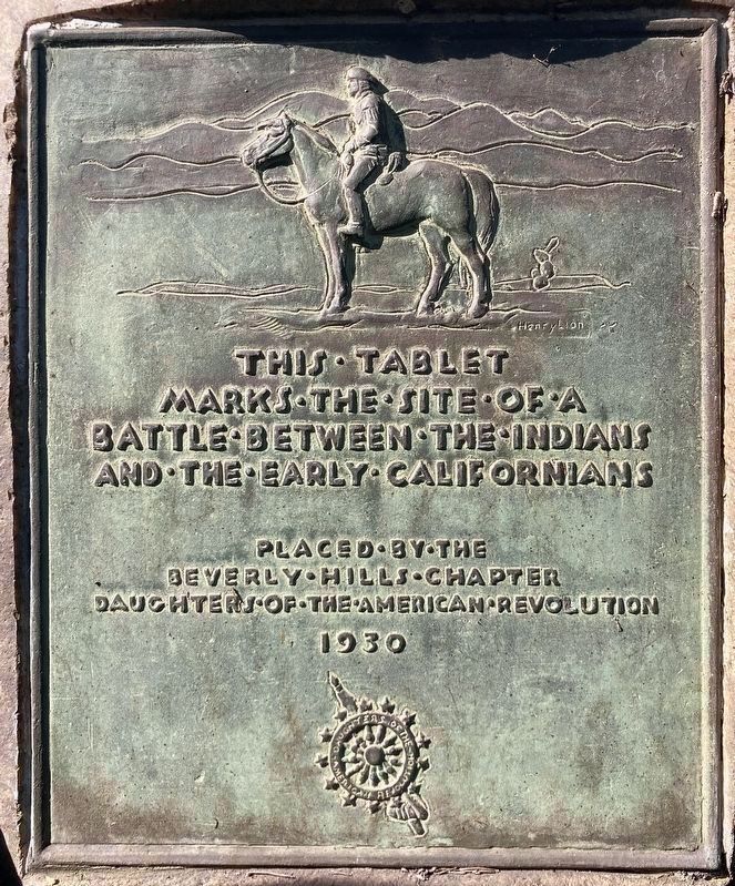
This tablet marks the site of a battle between the Indians and the early Californians.
Placed by the Beverly Hills Chapter Daughters of the American Revolution, 1930.
Erected 1930 by Daughters of the American Revolution.
Topics and series. This historical marker is listed in these topic lists: Indigenous Peoples and Communities • Settlements & Settlers • Women. In addition, it is included in the Daughters of the American Revolution (DAR) series list. A significant historical year for this entry is 1852.
Location. 34° 5.07′ N, 118° 25.298′ W. Marker is in Beverly Hills, California, in Los Angeles County. It is in The Flats. It is at the intersection of Chevy Chase Drive and Benedict Canyon Drive, on the left when traveling west on Chevy Chase Drive. Located at the Beverly Hills Women’s Club. Touch for map. Marker is at or near this postal address: 1700 Chevy Chase Dr, Beverly Hills CA 90210, United States of America. Touch for directions.

Regionally, this marker is in Greater Los Angeles and in the Transverse Ranges. It is also on the American Pacific Coast. Globally, it is in North America, on
this page online
Other nearby markers. At least 8 other markers are within walking distance of this marker: Beverly Hills Women's Club (a few steps from this marker); Gershwin Residence (about 600 feet away, measured in a direct line); Virginia Robinson Gardens (approx. 0.3 miles away); The Beverly Hills Hotel (approx. half a mile away); The Helms Estate (approx. 0.6 miles away); Margaret Jane Anderson Fountain (approx. 0.6 miles away); Will Rogers Memorial Park (approx. 0.6 miles away); Valdez Homestead (approx. ¾ mile away). Touch for a list and map of all markers in Beverly Hills.
Regarding Indian Battle. In 1838, the governor of the Mexican-controlled California territory deeded 4,500 acres that constitute the core of present-day Beverly Hills to Maria Rita Valdez Villa, the widow of a Spanish soldier. She started a cattle and horse ranch and built an adobe home for herself and her eleven children.
In 1852, Maria Rita survived a siege
Photographed by Craig Baker, February 1, 2026
2. Indian Battle Marker
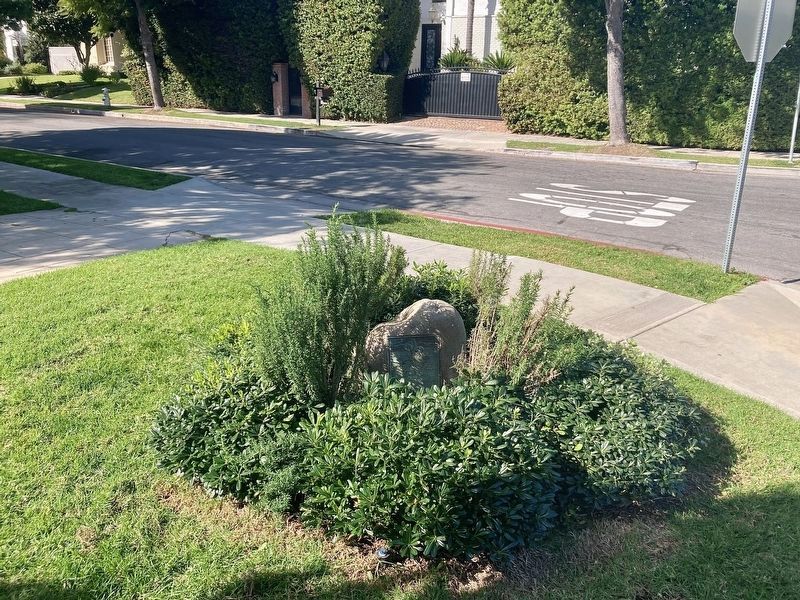
The plaque is hidden behind landscaping.
See nearby marker: Valdez Homestead.
Additional keywords. Valdez Homestead, Rancho Rodeo de las Aguas
Photographed by Craig Baker, February 1, 2026
3. Indian Battle Marker
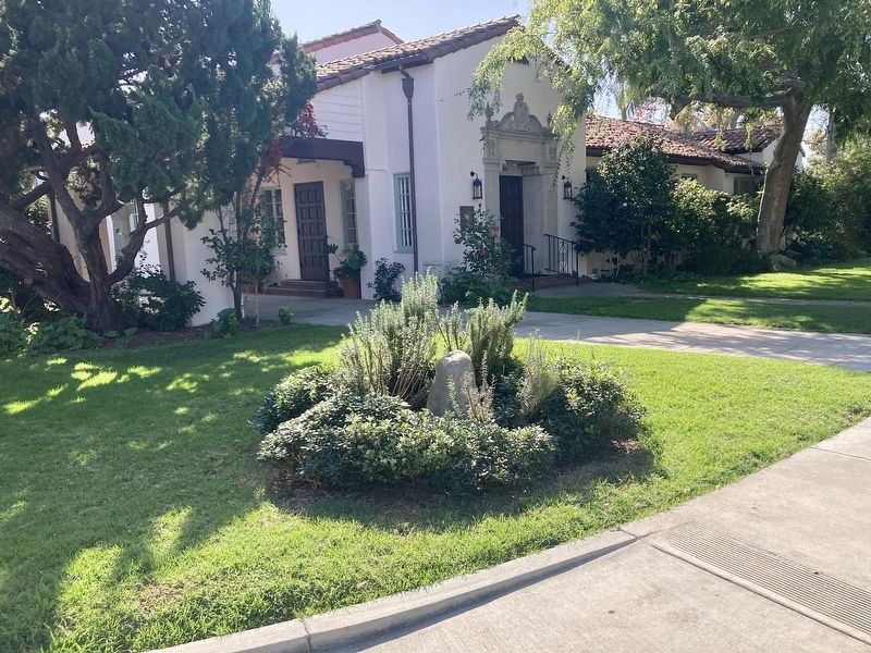
In front of the Beverly Hills Women’s Club.
Credits. This page was last revised on May 26, 2026. It was originally submitted on February 2, 2026, by Craig Baker of Sylmar, California. This page has been viewed 52 times since then. Photos: 1, 2, 3. submitted on February 2, 2026, by Craig Baker of Sylmar, California.
