Near Islandia in Miami-Dade County, Florida — The American South (South Atlantic)
Shaping Boca Chita Key
| — | Biscayne National Park | — |
Photographed by James Hulse, January 9, 2026
1. Shaping Boca Chita Key Marker
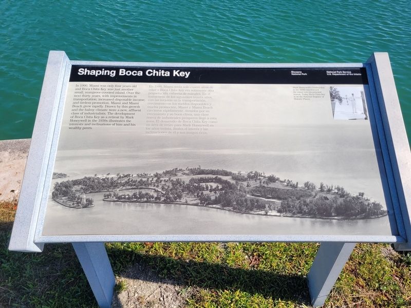
 In 1900, Miami was only four years old and Boca Chita Key was just another small, mangrove-covered island. Over the next thirty years, with improvements in transportation, increased disposable income, and tireless promotion, Miami and Miami Beach grew rapidly. Drawn by this growth and the balmy climate were a new, affluent class of industrialists. The development of Boca Chita Key as a retreat by Mark Honeywell in the 1930s illustrates the interests and inclinations of him and his wealthy peers.
Mark Honeywell's construction in the 1930s transformed the island into his personal retreat. Today, Boca Chita Key is on the National Register of Historic Places.
En 1900, Miami tenía solo cuatro años de edad y Boca Chita Key era solamente otra pequeña isla cubierta de mangles. En el transcurso de los siguientes treinta años, con las mejoras en la transportación, crecimiento en los sueldos disponibles y mucha promoción, Miami y Miami Beach crecieron rápidamente. Atraídos por su crecimiento y su buen clima, una clase nueva de industriales prósperos llegó a esta zona. El desarrollo de Boca Chita Key como un área de retiro para Mark Honeywell en los años treinta, ilustra el interés y las inclinaciones de él y sus amigos ricos.
La construcción realizada por Mark Honeywell en la década de 1930 transformó la isla en su refugio personal. En la actualidad, Boca Chita Key forma parte del Registro Nacional de Lugares Históricos.
Erected by La construcción realizada por Mark Honeywell en la década de 1930 transformó la isla en su refugio personal. En la actualidad, Boca Chita Key forma parte del Registro
this page online
Topics. This historical marker is listed in these topic lists: Parks & Recreational Areas • Waterways & Vessels. A significant historical year for this entry is 1900.
Location. 25° 31.472′ N, 80° 10.534′ W. Marker is near Islandia, Florida, in Miami-Dade County. It is on Southwest 328th Street. The marker is located on Boca Chita Key in Biscayne National Park and it is only accessed by boat. Touch for map. Marker is in this post office area: Homestead FL 33033, United States of America. Touch for directions.

Regionally, this marker is in South Florida, on the Gold Coast, and in Greater Miami. It is also in the American South and on the Eastern Seaboard. Globally, it is in the North Atlantic Region, North America, a Gulf of Mexico state, the Western Hemisphere, the Western World, and the Anglosphere. Historically, it finds itself in what was once New Spain, the territory of the Mississippian Culture, one of the Confederate States of America, and the Antebellum South.
Other nearby markers. At least 8 other markers are within 10 miles of this marker, measured as the crow flies: Biscayne Bay (within shouting distance of this marker); Honeywell's Estate (about 300 feet away, measured in a direct line); Boca Chita Key (about 300 feet away); Homes That Hover (approx. 9.8 miles away); Key Biscayne, The Barrier Island (approx. 9.9 miles away); U.S. Coast Survey Base Marker (approx. 9.9 miles away); The Bahama Dinghy (approx. 9.9 miles away); Escaping to Freedom in the Bahamas (approx. 9.9 miles away). Touch for a list and map of all markers in Islandia.
Also see . . . Biscayne National Park.

Photographed by James Hulse, January 9, 2026
2. Shaping Boca Chita Key Marker
The view of the marker along the harbor.
Photographed by James Hulse, January 9, 2026
3. Shaping Boca Chita Key Marker
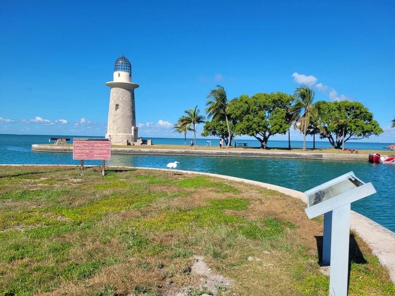
The view of the marker with the historic lighthouse in the background.
Photographed by James Hulse, January 9, 2026
4. Shaping Boca Chita Key Marker
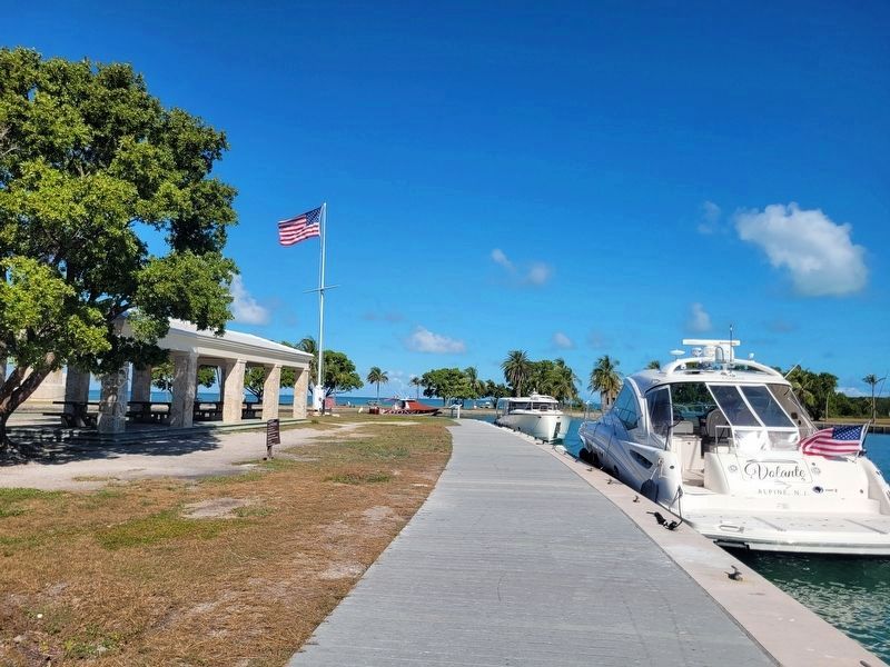
The view of the historic lighthouse and pavilion along the harbor. The marker is located at the end of the boardwalk.
Credits. This page was last revised on February 6, 2026. It was originally submitted on February 5, 2026, by James Hulse of Medina, Texas. This page has been viewed 62 times since then. Photos: 1, 2, 3, 4. submitted on February 6, 2026, by James Hulse of Medina, Texas.
