
Valparaiso in Porter County, Indiana — The American Midwest (Great Lakes)
Old Sac Trail
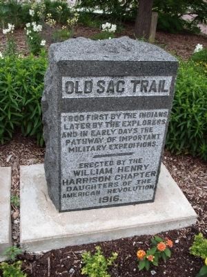
Photographed by Courtesy:: Marilyn S. Wolf, June 12, 2011
1. Old Sac Trail Marker
(Click on any of these photos to see the details.)
Erected 1916 by William Henry Harrison Chapter Daughters of the American Revolution.
Topics and series. This historical marker is listed in these topic lists: Indigenous Peoples and Communities • Roads & Vehicles. In addition, it is included in the Daughters of the American Revolution (DAR) series list.
Location. 41° 28.076′ N, 87° 3.776′ W. Marker is in Valparaiso, Indiana, in Porter County. It is on Lincolnway west of Lafayette Street, on the right when traveling west. The marker is located at the southeast corner of the Valparaiso City Building in Valparaiso, Indiana. Touch for map. Marker is at or near this postal address: 166 Lincolnway, Valparaiso IN 46383, United States of America. Touch for directions.

Regionally, this marker is in Northwest Indiana and in the Calumet Region. It is also in the American Midwest and in the Corn Belt. Globally, it is in North America, on the Great Lakes, in the Western Hemisphere, in the Western World,
this page online
Other nearby markers. At least 8 other markers are within walking distance of this marker: The Lincoln Highway (here, next to this marker); The story of Orville Redenbacher and Charlie Bowman (about 300 feet away, measured in a direct line); Porter County (Indiana) Veterans (about 600 feet away); Corner of Washington and Jefferson Streets (about 600 feet away); Site of the First School House in Valparaiso 1837 (approx. 0.2 miles away); Historical Society of Porter County Old Jail Museum (approx. 0.2 miles away); Almira Fifield, M.D. (approx. 0.2 miles away); Porter County Memorial Hall (approx. 0.2 miles away). Touch for a list and map of all markers in Valparaiso.
Also see . . . Sauk Trail at Wikipedia.
The Sauk Trail was originally a Native American trail running through what are present-day Illinois, Indiana and Michigan in the United States. From west to east, the trail ran from Rock Island on the Mississippi River to the Illinois River near modern Peru then along the(Submitted on August 30, 2023, by Lou Donkle of Valparaiso, Indiana.)north bank of that river to Joliet, and on to Valparaiso, Indiana. Then it ran northeasterly to La Porte and into southern Michigan running through Niles, Sturgis, Ypsilanti, and ending at the Detroit River near Detroit.Photographed by Lou Donkle2. Old Sac Trail Marker
Indiana - It has been established that the trail ran through what is today Valparaiso, then into La Porte and on to Michigan.
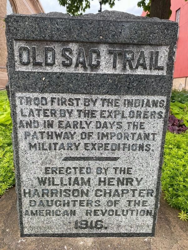
Additional keywords. Sauk Trail
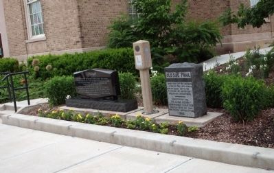
Photographed by Courtesy:: Marilyn S. Wolf, June 12, 2011
3. Wide View - - Old Sac Trail Marker
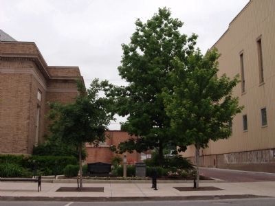
Photographed by Courtesy:: Marilyn S. Wolf, June 12, 2011
4. Wide View - - Old Sac Trail Marker

Photographed by Courtesy:: Marilyn S. Wolf, June 12, 2011
5. Looking North West - - Old Sac Trail Marker

Photographed by Courtesy:: Marilyn S. Wolf, June 12, 2011
6. South Side - - Valparaiso City Building
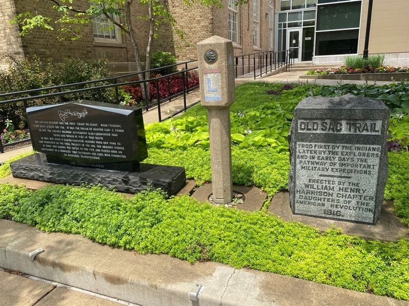
Photographed by Lou Donkle
7. Old Sac Trail and Lincoln Highway Markers
Credits. This page was last revised on February 6, 2026. It was originally submitted on June 13, 2011, by Al Wolf of Veedersburg, Indiana. This page has been viewed 1,498 times since then and 102 times this year. Last updated on February 6, 2026, by Lou Donkle of Valparaiso, Indiana. Photos: 1. submitted on June 13, 2011, by Al Wolf of Veedersburg, Indiana. 2. submitted on June 14, 2022, by Lou Donkle of Valparaiso, Indiana. 3, 4, 5, 6. submitted on June 13, 2011, by Al Wolf of Veedersburg, Indiana. 7. submitted on June 14, 2022, by Lou Donkle of Valparaiso, Indiana. • J. Makali Bruton was the editor who published this page.
