Lahaina in Maui County, Hawaii — Hawaiian Island Archipelago (Pacific Ocean)
Honokahua
| — | Ala Hele Kapalua Heritage Trail | — |
Photographed by Darren Jefferson Clay, December 7, 2025
1. Honokahua Marker
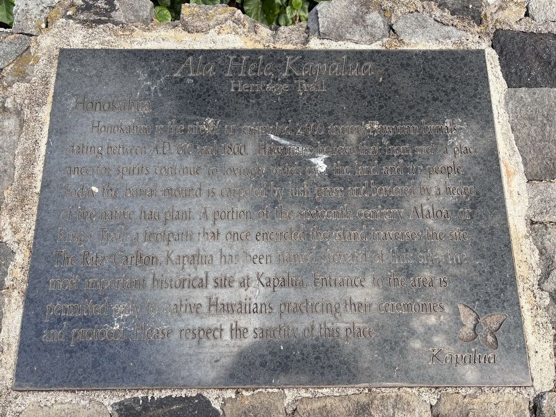
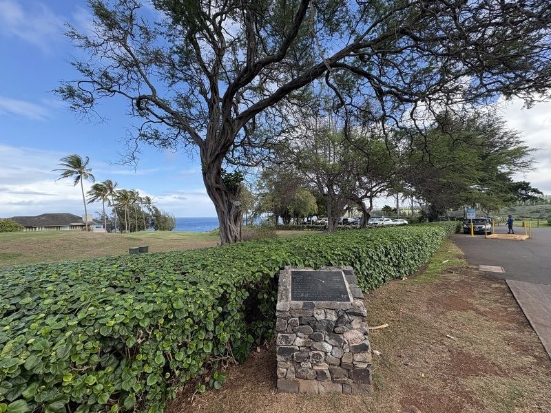
Honokahua is the site of an estimated 2,000 ancient Hawaiian burials dating between AD 610 and 1800. Hawaiians believe that from such a place ancestor spirits continue to lovingly watch over the land and it's people. Today the burial mound is carpeted by lush grass and bordered by a hedge of the native hau plant. A portion of the sixteenth century Alaloa, or King's Trail, a footpath that once encircled the island traverses the site. The Ritz Carlton, Kapalua has been named steward of this site, the most important historical site at Kapalua. Entrance to the area is permitted only to native Hawaiians practicing their ceremonies and protocol. Please respect the sanctity of this place.
Topics. This historical marker is listed in these topic lists: Cemeteries & Burial Sites • Indigenous Peoples and Communities • Religion & Religious Structures. A significant historical year for this entry is 610 CE.
Location. 21° 0.192′ N, 156° 39.366′ W. Marker is in Lahaina, Hawaii, in Maui County. It is at the intersection of Lower Honoapiilani Road and Office Road, on the left when traveling east on Lower Honoapiilani Road. Touch for map.
this page online

Regionally, this marker is in Lahaina and West Maui. Globally, it is in North America, in Polynesia, in the Pacific Ocean, in North Pacific, on the Pacific Rim, in the Western Hemisphere, in the Western World, and in the Anglosphere.
Other nearby markers. At least 8 other markers are within 6 miles of this marker, measured as the crow flies: Honokahua Burial Site (within shouting distance of this marker); The Kapalua Villas Reception Center (approx. 0.3 miles away); Honolua Store (approx. 0.3 miles away); The Bay Course (approx. 0.3 miles away); Cook Pine Trees (approx. 0.3 miles away); D.T. Fleming Aloe Patch (approx. 0.6 miles away); Maka oi oi (approx. 0.6 miles away); Ka'anapali Airport (HKP) 1961-1986 (approx. 5.2 miles away). Touch for a list and map of all markers in Lahaina.
Photographed by Darren Jefferson Clay, December 7, 2025
2. Honokahua Marker
Credits. This page was last revised on February 9, 2026. It was originally submitted on February 7, 2026, by Darren Jefferson Clay of Duluth, Georgia. This page has been viewed 69 times since then. Photos: 1, 2. submitted on February 8, 2026, by Darren Jefferson Clay of Duluth, Georgia. • Devry Becker Jones was the editor who published this page.
