Lahaina in Maui County, Hawaii — Hawaiian Island Archipelago (Pacific Ocean)
Honokahua Burial Site
Photographed by Darren Jefferson Clay, December 7, 2025
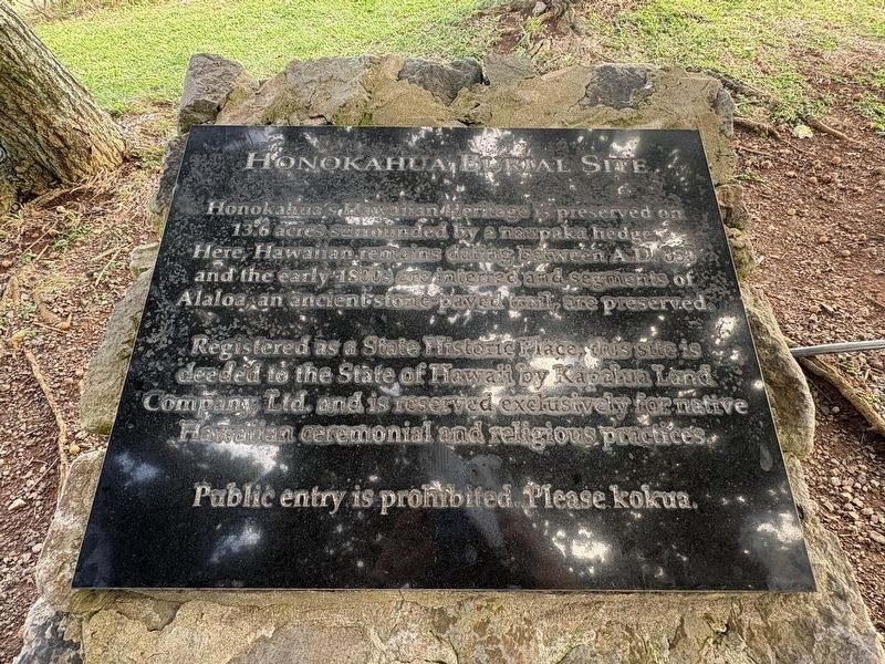
1. Honokahua Burial Site Marker
Honokahua's Hawaiian Heritage is preserved on 13.6 acres surrounded by a naupaka hedge. Here, Hawaiian remains dating between AD 850 and the early 1800s are interred and segments of Alaloa, an ancient stone paved trail, are preserved.
Registered as a State Historic Place, this site is deeded to the State of Hawaii by Kapalua Land Company Ltd. and is reserved exclusively for native Hawaiian ceremonial and religious practices.
Public entry is prohibited. Please kokua.
Topics. This historical marker is listed in these topic lists: Cemeteries & Burial Sites • Indigenous Peoples and Communities • Religion & Religious Structures. A significant historical year for this entry is 850 CE.
Location. 21° 0.218′ N, 156° 39.335′ W. Marker is in Lahaina, Hawaii, in Maui County. It can be reached from Dragon's Teeth Access Trail north of Lower Honoapiilani Road, on the left when traveling north. Touch for map. Marker is at or near this postal address: 6012 Lower Honoapiilani Rd, Lahaina HI 96761, United States of America. Touch for directions.

Regionally, this marker is in Lahaina and West Maui. Globally, it is in North
this page online
Other nearby markers. At least 8 other markers are within 6 miles of this marker, measured as the crow flies: Honokahua (within shouting distance of this marker); The Kapalua Villas Reception Center (approx. 0.3 miles away); Honolua Store (approx. 0.3 miles away); The Bay Course (approx. 0.3 miles away); Cook Pine Trees (approx. 0.4 miles away); D.T. Fleming Aloe Patch (approx. 0.6 miles away); Maka oi oi (approx. 0.6 miles away); Ka'anapali Airport (HKP) 1961-1986 (approx. 5.2 miles away). Touch for a list and map of all markers in Lahaina.
Photographed by Darren Jefferson Clay, December 7, 2025
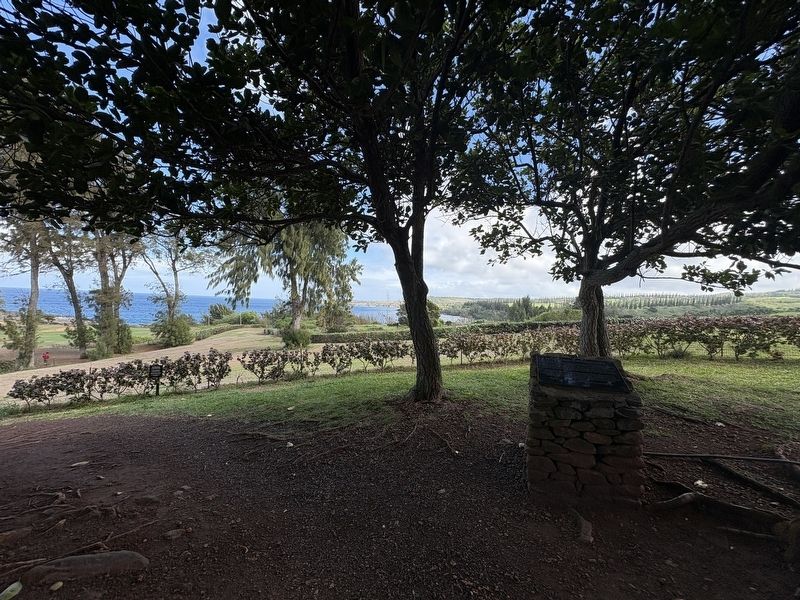
2. Honokahua Burial Site Marker
Credits. This page was last revised on February 9, 2026. It was originally submitted on February 7, 2026, by Darren Jefferson Clay of Duluth, Georgia. This page has been viewed 96 times since then. Photos: 1, 2. submitted on February 8, 2026, by Darren Jefferson Clay of Duluth, Georgia. • Devry Becker Jones was the editor who published this page.
