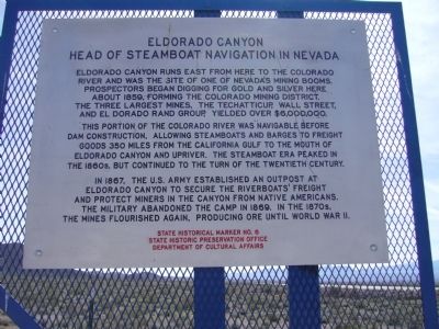
Eldorado Canyon
Head of Steamboat Navigation in Nevada
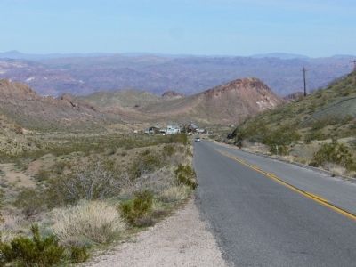
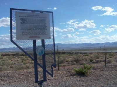
Eldorado Canyon runs east from here to the Colorado River and was the site of one of Nevada's mining booms. Prospectors began digging for gold and silver here, about 1859, forming the Colorado Mining District. The three largest mines, the Techatticup, Wall Street, and El Dorado Rand Group, yielded over $6,000,000.
This portion of the Colorado River was navigable before Dam construction, allowing steamboats and barges to freight good 350 miles from the California Gulf to the mouth of Eldorado Canyon and upriver. The steamboat era peaked in the 1860s, but continued to the turn of the twentieth century.
In 1867, the U.S. Army established an outpost at Eldorado Canyon to secure the riverboats' freight and protect miners in the canyon from Native Americans. The military abandoned the camp in 1869. In the 1870s, the mines flourished again, producing ore until World War II.
Erected by State Historic Preservation Office, Department of Cultural Affairs. (Marker Number 6.)
Topics. This historical marker is listed in these topic lists: Forts and Castles • Native Americans • Natural Resources • Waterways & Vessels. A significant historical year for this entry is 1859.
Location. 35° 49.656′ N, 114° 56.184′ W. Marker
Other nearby markers. At least 8 other markers are within 11 miles of this marker, measured as the crow flies. A different marker also named Eldorado Canyon (a few steps from this marker); Women Airforce Service Pilots (approx. 9.6 miles away); Railroad Pass (approx. 10.1 miles away); Alunite (approx. 10.2 miles away); El Dorado Canyon (approx. 10.2 miles away); Queho's Cave (approx. 11 miles away); Techatticup Mine (approx. 11.1 miles away); a different marker also named El Dorado Canyon (approx. 11.1 miles away). Touch for a list and map of all markers in Boulder City.
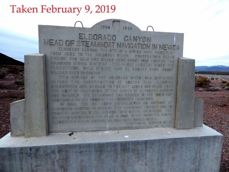
Regarding Eldorado Canyon. The original concrete marker that was located here at the intersection of Nevada Route 165 and US Route 95 was severely damaged when US 95 was widened to four lanes. Tony and Bobbie Werly, owners of the Historic Techatticup Mine, salvaged the marker and through their efforts had a replacement marker constructed.
However, by the time the new concrete marker was completed the State of Nevada had determined to use metal markers along roadways and this marker was erected.
The residents of Nelson decided to set up the new concrete marker near the entrance to the Canyon.
See
Also see . . . New Amended Text for Marker. The Nevada State Historic Preservation Office (SHPO) recently updated the text of the roughly 260 state historical markers in Nevada. The Nevada SHPO placed the amended text of each individual marker on its website and will change the actual markers in the field as funding allows. Minor changes have been made to this marker for grammar and readability. The link will take you to the Nevada SHPO page for the marker with the amended text. (Submitted on October 25, 2013, by Duane Hall of Abilene, Texas.)
Credits. This page was last revised on December 22, 2020. It was originally submitted on March 30, 2010, by Bill Kirchner of Tucson, Arizona. This page has been viewed 1,418 times since then and 48 times this year. Photos: 1. submitted on March 30, 2010, by Bill Kirchner of Tucson, Arizona. 2. submitted on March 11, 2019, by Paulette Nelson of N Las Vegas, Nevada. 3, 4, 5. submitted on March 30, 2010, by Bill Kirchner of Tucson, Arizona. 6. submitted on June 16, 2010, by Mike Stroud of Bluffton, South Carolina. • Syd Whittle was the editor who published this page.
