Upper Shockoe Valley in Richmond, Virginia — The American South (Mid-Atlantic)
Gabriel Prosser Execution Site
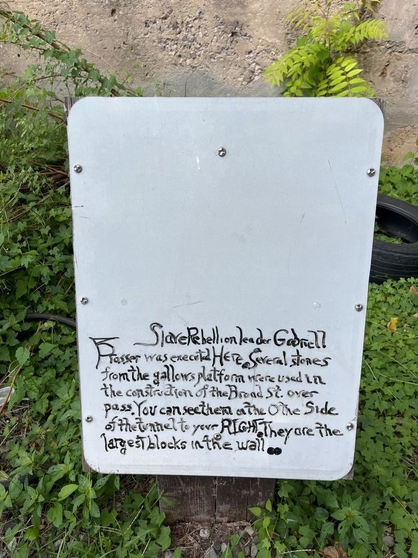
Photographed by Devry Becker Jones (CC0), September 7, 2024
1. Gabriel Prosser Execution Site Marker
Topics. This historical marker is listed in these topic lists: African Americans • Law Enforcement. A significant historical year for this entry is 1800.
Location. 37° 32.223′ N, 77° 25.679′ W. Marker is in Richmond, Virginia. It is in Upper Shockoe Valley. It can be reached from East Franklin Street east of North 15th Street, on the right when traveling west. Touch for map. Marker is at or near this postal address: 1605 E Broad St, Richmond VA 23219, United States of America. Touch for directions.

Regionally, this marker is in Central Virginia. It is also in the American South and specifically in the Upper South. Globally, it is in North America, the Western Hemisphere, the Western World, and the Anglosphere. Historically, it finds itself in what was once the territory of the Mississippian Culture, one of the original Thirteen Colonies, one of the
this page online
Other nearby markers. At least 8 other markers are within walking distance of this marker: Gabriel's Uprising (within shouting distance of this marker); Richmond's First Municipal African Cemetery (within shouting distance of this marker); Lumpkin's Jail (within shouting distance of this marker); Richmond’s African Burial Ground (about 300 feet away, measured in a direct line); Winfree Cottage (about 400 feet away); First African Baptist Church (about 700 feet away); a different marker also named First African Baptist Church (about 700 feet away); Monumental Church (approx. 0.2 miles away). Touch for a list and map of all markers in Richmond.
Other markers no longer nearby. Old Negro Burial Ground (was a few steps from this marker but has been replaced with another marker now near it); Execution of Gabriel (was within shouting distance of this marker but has been replaced with another marker now near it); a different marker also named Richmond's African Burial Ground (was about 300 feet away but has been replaced with another marker now near it); a different marker
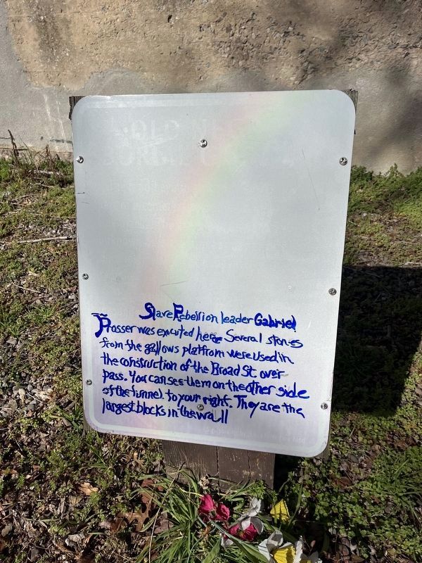
Photographed by Devry Becker Jones (CC0), February 18, 2023
2. Gabriel Prosser Execution Site Marker
This is a previous iteration of the marker. The script is in a different color. Additionally, all caps is not used.
Related marker. Click here for another marker that is related to this marker. This guerrilla marker has replaced the linked marker, which was painted over.
Additional commentary.
1. Gabriel's Execution
Prior to 1806, public hangings were done on Gallows Hill - in the vicinity of Cary and 1st Streets. Gabriel was hung there, which was "the usual place" at the time, rather than at the city gallows used from 1806 at 15th & Broad. When scholarship on Gabriel entered the 20th century, historians misunderstood "the usual place" referenced in the 1800-1803 reports on the failed insurrection to mean the city gallows at 15th & Broad without realizing that there was no gallows there until six years after Gabriel was executed.
— Submitted February 11, 2026, by Evan Dwyer of Richmond, Virginia.
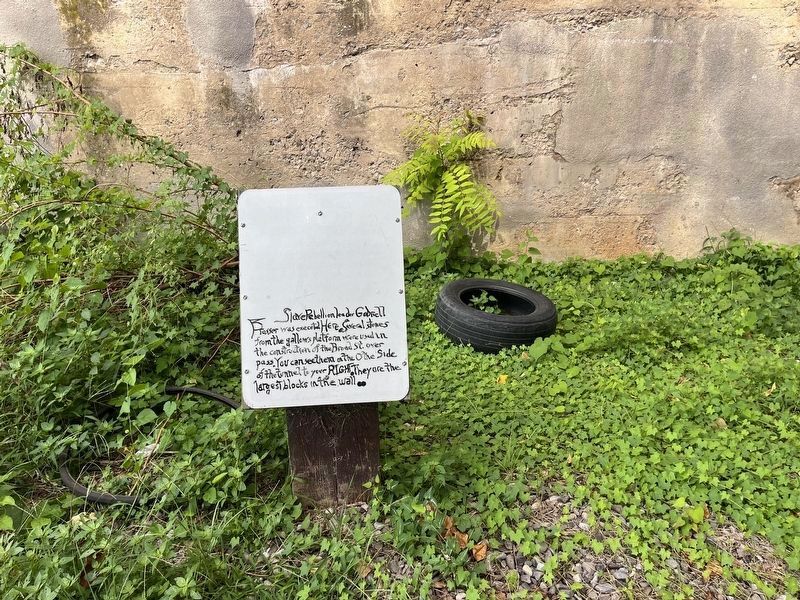
Photographed by Devry Becker Jones (CC0), September 7, 2024
3. Gabriel Prosser Execution Site Marker
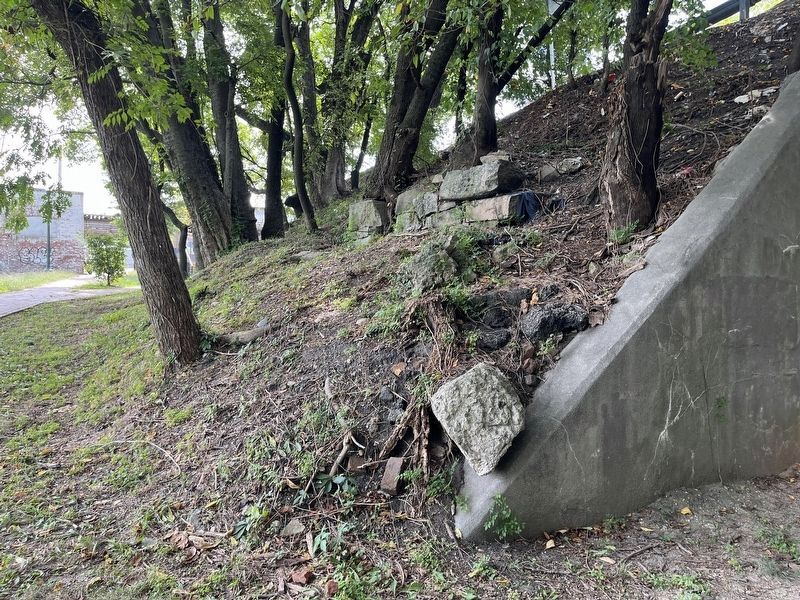
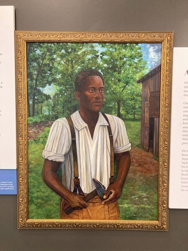
Photographed by Evan Dwyer, November 1, 2025
5. Gabriel of Brookfield
Portrait of Gabriel painted in 2021 by Jerome W. Jones, Jr., based on descriptions of Gabriel. Gabriel stood 6'2, had scars on his face, and was missing his two front teeth. This portrait is displayed at Meadow Farm's community center.
Credits. This page was last revised on February 23, 2026. It was originally submitted on February 19, 2023, by Devry Becker Jones of Washington, District of Columbia. This page has been viewed 439 times since then and 104 times this year. Last updated on February 11, 2026, by Evan Dwyer of Richmond, Virginia. Photos: 1. submitted on September 8, 2024, by Devry Becker Jones of Washington, District of Columbia. 2. submitted on February 19, 2023, by Devry Becker Jones of Washington, District of Columbia. 3, 4. submitted on September 8, 2024, by Devry Becker Jones of Washington, District of Columbia. 5. submitted on February 11, 2026, by Evan Dwyer of Richmond, Virginia.
