
Near Fort Oglethorpe in Walker County, Georgia — The American South (South Atlantic)
44th Illinois Infantry
Laiboldt's Brigade
| — | Sheridan's Division | — |
Photographed by Dale K. Benington, August 10, 2019
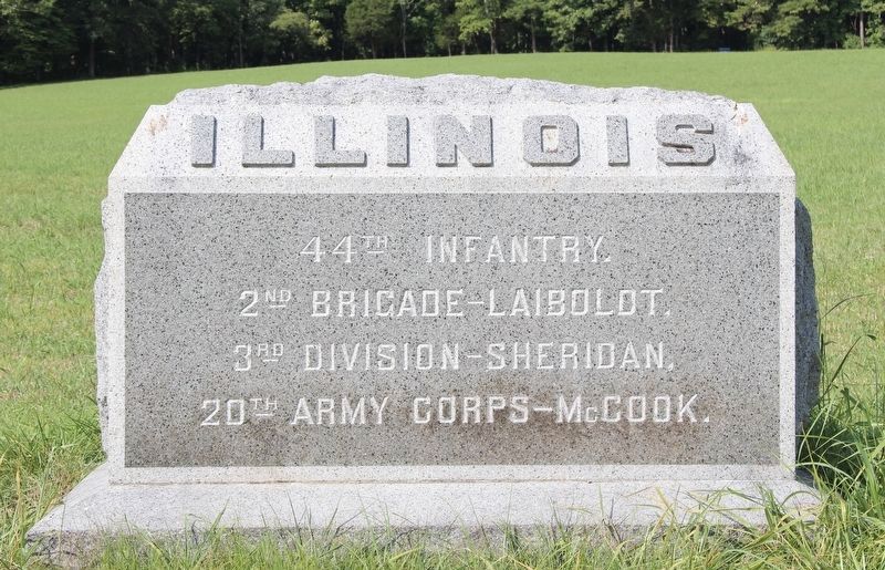
1. 44th Illinois Infantry Marker
View of the text on the front side of the monument.
Text on the Front Side:
44th Infantry.
2nd Brigade - Laiboldt.
3rd Division - Sheridan.
20th Army Corps - McCook.
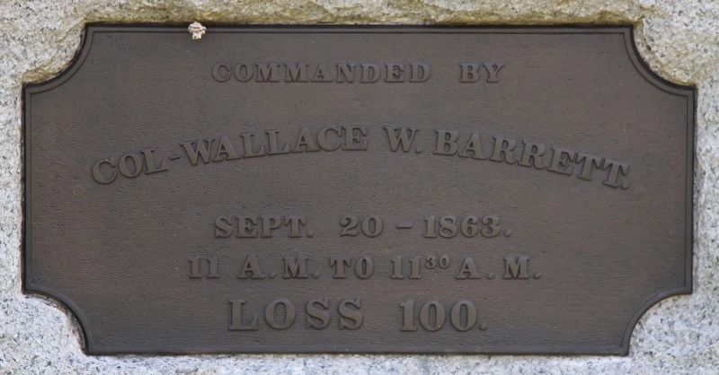
Text on the Front Side:
Colonel-Wallace W. Barrett.
September 20-1863.
11 a.m. to 11:30 a.m.
Loss 100.
Erected 1899 by the State of Illinois. (Marker Number MT-688.)
Topics. This historical marker is listed in these topic lists: Parks & Recreational Areas • War, US Civil. A significant historical date for this entry is September 20, 1863.
Location. 34° 54.828′ N, 85° 16.039′ W. Marker is near Fort Oglethorpe, Georgia, in Walker County. It can be reached from Glenn-Kelly Road east of Chickamauga-Vittatoe Road, on the left when traveling north. This marker is located in the National Military Park that preserves the site of the Chickamauga Battlefield, and is situated near a small stream that runs through the South Dyer Field (labeled the Brotherton Field on the Chickamauga Battlefield Map). According to the location information provided by the National Park Service, “This monument is located on the Chickamauga Battlefield, map site #187". Touch for map. Marker is in this
this page online

Regionally, this marker is in Georgia’s Mountains. It is also in the American South, specifically in the Deep South, in Appalachia, and specifically in Southern Appalachia. Globally, it is in North America, the Western Hemisphere, the Western World, and the Anglosphere. Historically, it finds itself in what was once the original Cherokee Nation, the territory of the Mississippian Culture, one of the original Thirteen Colonies, one of the Confederate States of America, and the Antebellum South.
Other nearby markers. At least 8 other markers are within walking distance of this marker: 2nd Missouri Infantry (a few steps from this marker); 15th Missouri Infantry (a few steps from this marker); Laiboldt's Brigade (within shouting distance of this marker); 73rd Illinois Infantry (within shouting distance of this marker); Clayton's Brigade (within shouting distance of this marker); 104th Illinois Infantry (about 400 feet away, measured in a direct line); J. Beatty's Brigade (about 400 feet away); 42nd Indiana Infantry (about 400 feet
Photographed by Dale K. Benington, August 10, 2019
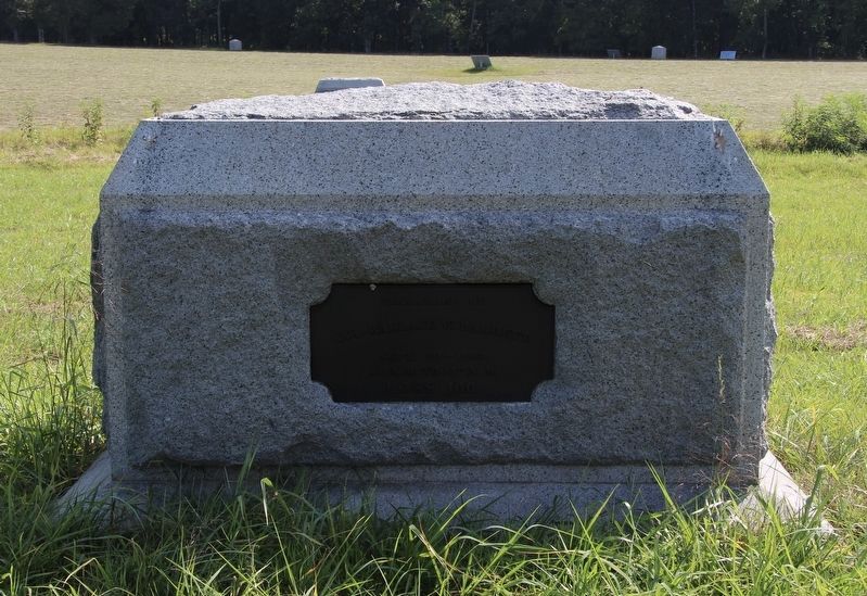
2. 44th Illinois Infantry Marker
View of the backside of the monument.
More about this marker. I used the "Chickamauga Battlefield" map, that I purchased at the Chickamauga and Chattanooga National Military Park, Visitor Center, to determine both the marker number for this marker and the marker's location in relation to the rest of the park's monuments, markers, and tablets. According to the map it provides the, "numerical listing of all monuments, markers, and tablets on the Chickamauga Battlefield (using the Chick-Chatt NMP Monument Numbering System).”
According to the description information provided by the National Park Service, the marker is a, “7'6" x 4'4" x 4'6" high rock-faced monument consisting of rectangular granite block with an inscribed polished front on a granite base. The tops of both pieces are beveled. Marks unit's position on Sept. 20, 1863, from 11:00 to 11:30 a.m."
Photographed by Dale K. Benington, August 10, 2019
3. 44th Illinois Infantry Marker
Close-up view of the text on the back side of the monument.
Photographed by Dale K. Benington, August 10, 2019
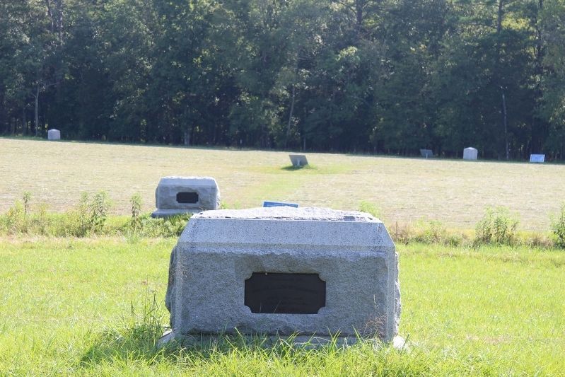
4. 44th Illinois Infantry Marker
View of the monument, looking east across the Dyer Field.
Photographed by Dale K. Benington, August 10, 2019
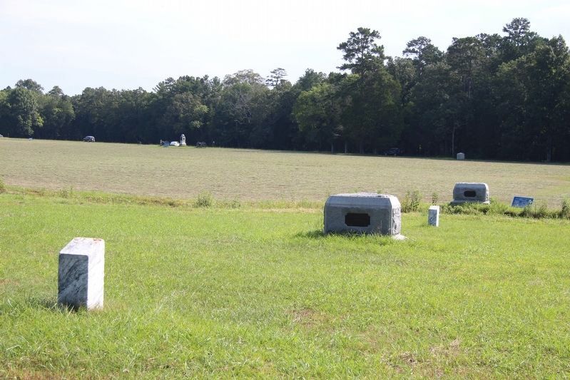
5. 44th Illinois Infantry Marker
View, looking northeast, of both the featured marker, and of the markers of the Laiboldt Brigade.
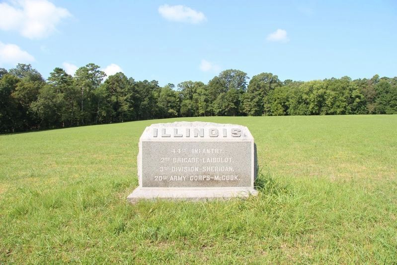
Photographed by Dale K. Benington, August 10, 2019
6. 44th Illinois Infantry Marker
Distant view of the monument, looking west across the Dyer Field.
Credits. This page was last revised on February 17, 2026. It was originally submitted on August 22, 2019, by Dale K. Benington of Toledo, Ohio. This page has been viewed 346 times since then and 43 times this year. Last updated on February 16, 2026, by Edward Troxel of Creal Springs, Illinois. Photos: 1, 2, 3, 4, 5, 6. submitted on August 22, 2019, by Dale K. Benington of Toledo, Ohio. • Devry Becker Jones was the editor who published this page.
