Near Fort Oglethorpe in Walker County, Georgia — The American South (South Atlantic)
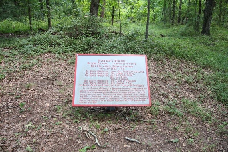
Kershaw's Brigade
McLaws' Division - Longstreet's Corps
| — | Brigadier General Joseph Brevard Kershaw | — |
Photographed by Dale K. Benington, July 23, 2019
1. Kershaw's Brigade Marker
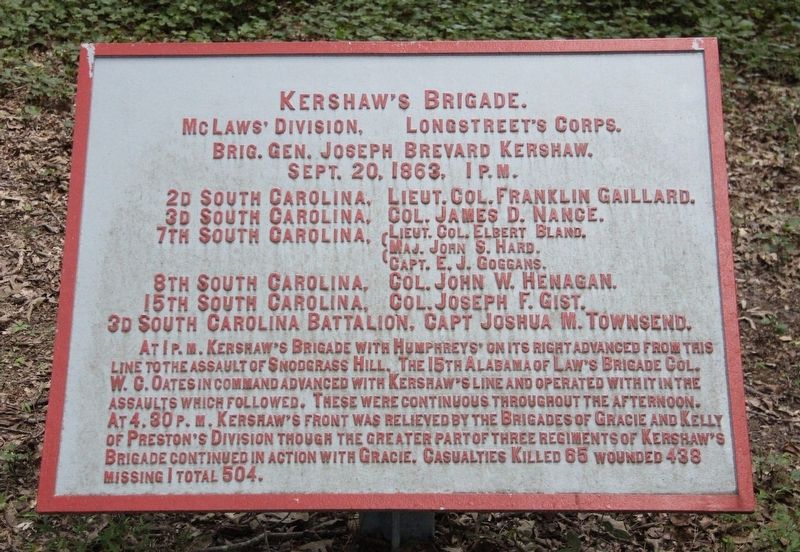
McLaws' Division, - Longstreet's Corps.
Brigadier General Joseph Brevard Kershaw.
September 20, 1863, 1 p.m.
2d South Carolina, - Lieutenant Colonel Franklin Gaillard.
3d South Carolina, - Colonel James D. Nance.
7th South Carolina, - Lieutenant Colonel Elbert Bland.
7th South Carolina, - Major John S. Hard.
7th South Carolina, - Captain E.J. Goggans.
8th South Carolina, - Colonel John W. Henagan.
15th South Carolina, - Colonel Joseph F. Gist.
3d South Carolina Battalion, - Captain Joshua M. Townsend.
At 1 p.m. Kershaw's Brigade with Humphreys' on its right advanced from this line to the assault of Snodgrass Hill. The 15th Alabama of Law's Brigade, Colonel W.C. Oates in command, advanced with Kershaw's line and operated with it in the assaults which followed. These were continuous throughout the afternoon. At 4:30 p.m. Kershaw's front was relieved by the Brigades of Gracie and Kelly of Preston's Division through the greater part of three regiments of Kershaw's Brigade continued in action with Gracie. Casualties killed 65 wounded 438 missing 1 total 504.
Erected 1890 by the Chickamauga
this page online
Topics. This historical marker is listed in these topic lists: Parks & Recreational Areas • War, US Civil. A significant historical date for this entry is September 20, 1863.
Location. 34° 55.546′ N, 85° 16.035′ W. Marker is near Fort Oglethorpe, Georgia, in Walker County. It can be reached from Vittetoe Road west of Glenn-Kelly Road, on the left when traveling west. This tablet is located in the National Military Park that preserves the site of the Chickamauga Battlefield, on a hill in the north east corner of Dyer Field. The tablet is along a secondary trail that goes off to the northeast from the South Carolina State Monument. Touch for map. Marker is in this post office area: Fort Oglethorpe GA 30742, United States of America. Touch for directions.

Regionally, this marker is in the Mountains. It is also in the American South, specifically in the Deep South, in Appalachia, and specifically in Southern Appalachia. Globally, it is in North America, the Western Hemisphere, the Western World, and the Anglosphere. Historically, it finds itself in what was once the
Photographed by Dale K. Benington, July 23, 2019
2. Kershaw's Brigade Marker
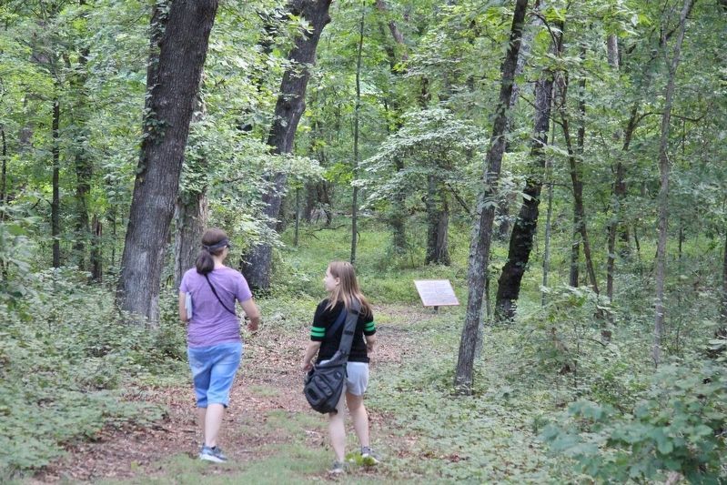
A distant view of the marker (tablet), looking northeast along the trail from the area of the South Carolina State Monument.
Other nearby markers. At least 8 other markers are within walking distance of this marker: South Carolina State Monument (within shouting distance of this marker); Battery D, 1st Michigan Artillery Marker (about 300 feet away, measured in a direct line); 65th Ohio Infantry Regiment (about 300 feet away); Battery M, 1st Ohio Light Artillery (about 300 feet away); a different marker also named Battery M, 1st Ohio Light Artillery (about 300 feet away); Harker's Brigade (about 400 feet away); Gracie's Brigade (about 500 feet away); Garrity's Alabama Battery (about 600 feet away). Touch for a list and map of all markers in Fort Oglethorpe.
More about this marker. I used the "Chickamauga Battlefield" map, that I purchased at the Chickamauga and Chattanooga National Military Park, Visitor Center, to determine both the marker number for this monument and the monument's location in relation to the rest of the park's monuments, markers, and tablets. According
Photographed by Dale K. Benington, July 23, 2019
3. Kershaw's Brigade Marker
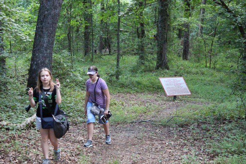
View of the marker (tablet), looking northeast along the trail.
Photographed by Dale K. Benington, July 23, 2019
4. Kershaw's Brigade Marker
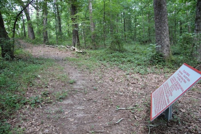
View of the marker (tablet), looking southwest along the trail, back towards the South Carolina State Monument.
Photographed by Dale K. Benington, July 23, 2019
5. Kershaw's Brigade Marker
Credits. This page was last revised on February 17, 2026. It was originally submitted on August 7, 2019, by Dale K. Benington of Toledo, Ohio. This page has been viewed 461 times since then and 58 times this year. Last updated on February 16, 2026, by Edward Troxel of Creal Springs, Illinois. Photos: 1, 2, 3, 4, 5. submitted on August 7, 2019, by Dale K. Benington of Toledo, Ohio. • Devry Becker Jones was the editor who published this page.
