Near Fort Oglethorpe in Walker County, Georgia — The American South (South Atlantic)
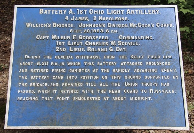
Battery A, 1st Ohio Light Artillery
Willich's Brigade
| — | Johnson's Division | — |
Photographed by Dale K. Benington, August 10, 2019
1. Battery A, 1st Ohio Light Artillery Marker
4 James, 2 Napoleons.
Willich's Brigade, Johnson's Division, McCook's Corps.
September 20, 1863, Afternoon
Captain Wilbur F. Goodspeed, Commanding.
1st Lieutenant Charles W. Scovill
2d Lieutenant Roland G. Day
During the general withdrawal from the Kelly field line about 5:30 p.m. in which this Battery attached prolonges and retired firing canister at the rapidly advancing enemy; the Battery came into position on this ground supported by the Brigade, and remained till all the Union troops had passed, when it retired with the rear guard to Rossville, reaching that point unmolested at about midnight.
Erected 1890 by the Chickamauga and Chattanooga National Military Park Commission. (Marker Number MT-912.)
Topics. This historical marker is listed in these topic lists: Parks & Recreational Areas • War, US Civil. A significant historical date for this entry is September 20, 1863.
Location. 34° 56.32′ N, 85° 16.165′ W. Marker is near Fort Oglethorpe, Georgia, in Walker County. It can be reached from McFarland Gap Road west of LaFayette Road, on the left when traveling west. This marker is
this page online

Regionally, this marker is in Georgia’s Mountains. It is also in the American South, specifically in the Deep South, in Appalachia, and specifically in Southern Appalachia. Globally, it is in North America, the Western Hemisphere, the Western World, and the Anglosphere. Historically, it finds itself in what was once the original Cherokee Nation, the territory of the Mississippian Culture, one of the original Thirteen Colonies, one of the Confederate States of America, and the Antebellum South.
Other nearby markers. At least 8 other markers are within walking distance of this marker: Withdrawal of the Union Left (approx. half a mile away); 92nd Ohio Infantry (approx. half a mile away); Reynolds' Division (approx. half a mile away); Fort Oglethorpe, Georgia (approx. half a mile away); 36th Ohio Infantry
Photographed by Dale K. Benington, August 10, 2019
2. Battery A, 1st Ohio Light Artillery Marker
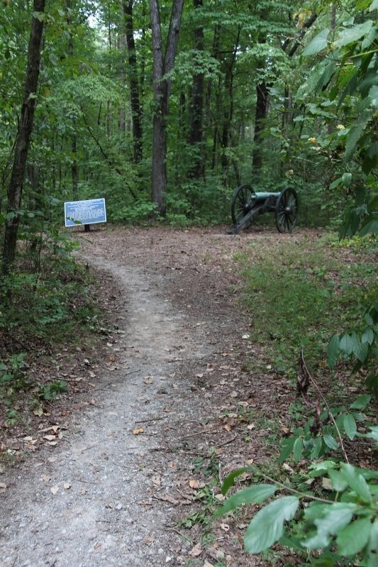
Distant view of the marker looking east along the park hiking trail.
Another marker is no longer nearby. The Battle of Chickamauga (was approx. half a mile away but has been permanently removed).
More about this marker. I used the "Chickamauga Battlefield" map, that I purchased at the Chickamauga and Chattanooga National Military Park, Visitor Center, to determine both the marker number for this tablet and the tablet's location in relation to the rest of the park's monuments, markers, and tablets. According to the map it provides the, "numerical listing of all monuments, markers, and tablets on the Chickamauga Battlefield (using the Chick-Chatt NMP Monument Numbering System).”
Photographed by Dale K. Benington, August 10, 2019
3. Battery A, 1st Ohio Light Artillery Marker
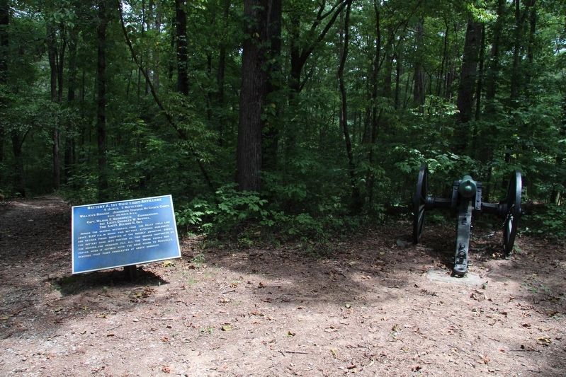
View of the marker (tablet), next to a related cannon, that marks the site of this battery.
Photographed by Dale K. Benington, August 10, 2019
4. Battery A, 1st Ohio Light Artillery Marker
View of the backside of the marker (tablet) looking west along the park hiking trail.
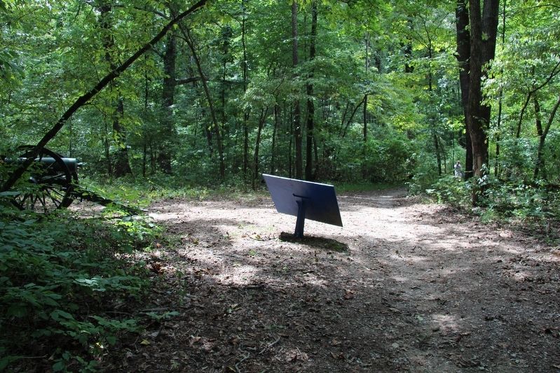
Photographed by Dale K. Benington, August 10, 2019
5. Battery A, 1st Ohio Light Artillery Marker
Credits. This page was last revised on February 17, 2026. It was originally submitted on August 23, 2019, by Dale K. Benington of Toledo, Ohio. This page has been viewed 306 times since then and 31 times this year. Last updated on February 16, 2026, by Edward Troxel of Creal Springs, Illinois. Photos: 1, 2, 3, 4, 5. submitted on August 23, 2019, by Dale K. Benington of Toledo, Ohio. • Devry Becker Jones was the editor who published this page.
