Friendship in Anne Arundel County, Maryland — The American Northeast (Mid-Atlantic)
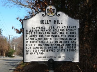
Holly Hill
Erected by Maryland Historical Society.
Topics and series. This historical marker is listed in these topic lists: Agriculture • Churches & Religion • Colonial Era • Settlements & Settlers. In addition, it is included in the Quakerism series list. A significant historical year for this entry is 1663.
Location. 38° 43.701′ N, 76° 34.122′ W. Marker is in Friendship, Maryland, in Anne Arundel County. Marker is on Friendship Road (Maryland Route 261) 0.1 miles south of Fairhaven Road (Route 423), on the left when traveling south. Touch for map. Marker is at or near this postal address: 388 Friendship Rd, Owings MD 20736, United States of America. Touch for directions.
Other nearby markers. At least 8 other markers are within 3 miles of this marker, measured as the crow flies. Early Businesses (approx. 2.4 miles away); Sharps Island Lighthouse (approx. 2½ miles away); Beach Buccaneers (approx. 2½ miles away); Russell David Hall (approx. 2½ miles away); Working Watermen (approx. 2½ miles away); North Beach Pier (approx. 2½ miles away); Beach & Pier (approx. 2½ miles away); Lt Brendan Looney (approx. 2½ miles away).
Also see . . . Holly Hill (Friendship, Maryland). Wikipedia entry (Submitted on December 27, 2020, by Larry Gertner of New York, New York.)
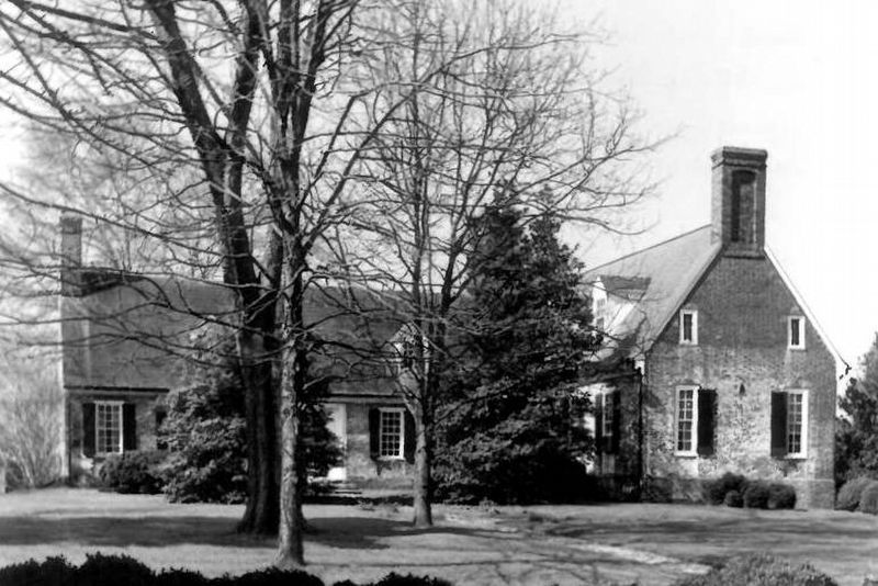
via NPS, unknown
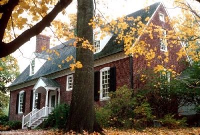
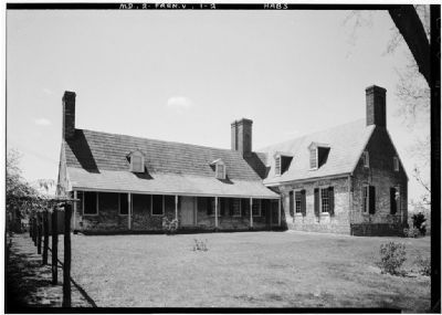
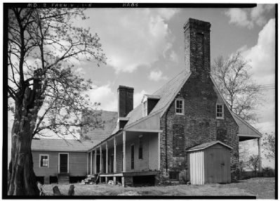
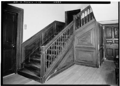
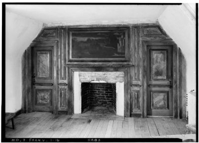
2. Holly Hill (aka Holland's Hills, Rose Valley)
National Register of Historic Places Nomination Form
at NPGallery Digital Asset Management System
Click for more information.
at NPGallery Digital Asset Management System
Click for more information.
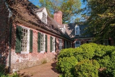
Photographed By William H. Thayer, May 5, 2014
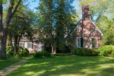
9. Holly Hill Colonial House
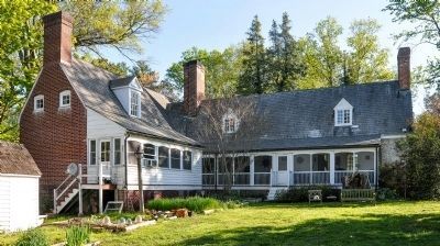
This brick veranda can be seen as you are driving to the house and is to the left of the main part of the building. It is on the north side of the house and is adjacent to the gardens. I imagine that it is quite pleasant on warm days under the trees. As you can see, the house no longer has the overhand as on picture #3.
Credits. This page was last revised on November 16, 2023. It was originally submitted on October 13, 2007, by F. Robby of Baltimore, Maryland. This page has been viewed 5,562 times since then and 152 times this year. Photos: 1. submitted on October 13, 2007, by F. Robby of Baltimore, Maryland. 2. submitted on November 16, 2023, by Larry Gertner of New York, New York. 3. submitted on May 7, 2014, by William H. Thayer of Owings, Maryland. 4. submitted on March 22, 2008, by Christopher Busta-Peck of Shaker Heights, Ohio. 5, 6, 7, 8. submitted on March 3, 2008, by Christopher Busta-Peck of Shaker Heights, Ohio. 9, 10. submitted on May 7, 2014, by William H. Thayer of Owings, Maryland. • J. J. Prats was the editor who published this page.
