Haven Township near St. Cloud in Sherburne County, Minnesota — The American Midwest (Upper Plains)
Prairie Savanna
Photographed by McGhiever, November 3, 2022
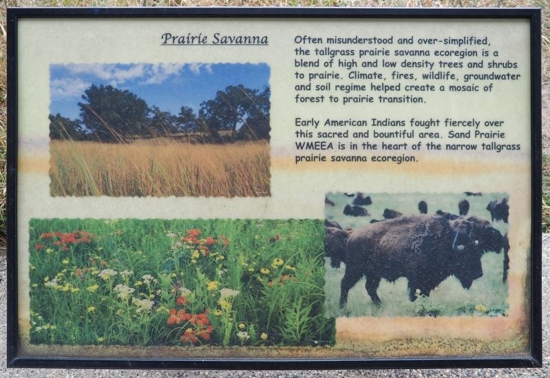
1. Prairie Savanna Marker
Often misunderstood and over-simplified, the tallgrass prairie savanna ecoregion is a blend of high and low density trees and shrubs to prairie. Climate, fires, wildlife, groundwater and soil regime helped create a mosaic of forest to prairie transition.
Early American Indians fought fiercely over this sacred and bountiful area. Sand Prairie WMEEA is in the heart of the narrow tallgrass prairie savanna ecoregion.
Topics. This historical marker is listed in these topic lists: Environment • Indigenous Peoples and Communities.
Location. 45° 32.444′ N, 94° 6.402′ W. Marker is near St. Cloud, Minnesota, in Sherburne County. It is in Haven Township. It can be reached from U.S. 10 east of Minnesota Boulevard, on the right when traveling west. The marker is at the Sand Prairie Wildlife Management Area, in an interpretive shelter a short walk from the parking area. Touch for map. Marker is at or near this postal address: 1805 U.S Highway 10, Saint Cloud MN 56304, United States of America. Touch for directions.

Regionally, this marker is in the Twin Cities Metropolitan
this page online
Other nearby markers. At least 8 other markers are within 3 miles of this marker, measured as the crow flies: Historic Wayside / Maintaining Our Natural Heritage (within shouting distance of this marker); These Walls Do Talk (within shouting distance of this marker); First Granite Quarry (within shouting distance of this marker); a different marker also named The First Granite Quarry (approx. ¾ mile away); The Red River Trail (approx. 0.8 miles away); Fort Holes (approx. 2.3 miles away); Petters Building (approx. 2.8 miles away); B.P.O.E. Building (approx. 2.8 miles away). Touch for a list and map of all markers in St. Cloud.
Photographed by McGhiever, November 3, 2022
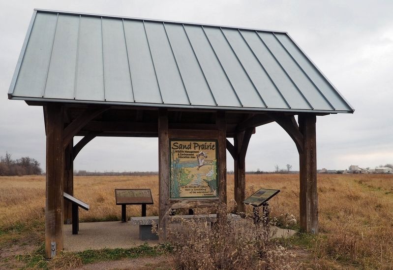
2. Prairie Savanna Marker (right) at the Sand Prairie Wildlife Management Area's interpretive shelter
Credits. This page was last revised on February 20, 2026. It was originally submitted on February 20, 2026, by McGhiever of Minneapolis, Minnesota. This page has been viewed 71 times since then. Photos: 1, 2. submitted on February 20, 2026, by McGhiever of Minneapolis, Minnesota.
