Savage in Howard County, Maryland — The American Northeast (Mid-Atlantic)
Baltimore Regional Trail
A House Divided
| — | War on the Chesapeake Bay | — |
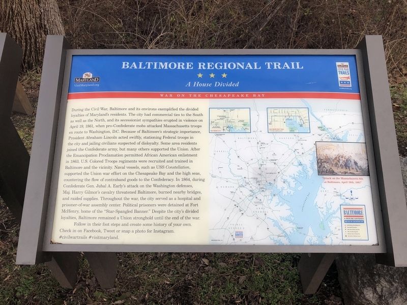
During the Civil War, Baltimore and its environs exemplified the divided loyalties of Maryland's residents. The city had commercial ties to the South as well as the North, and is secessionist sympathies erupted in violence on April 19, 1861, when pro-Confederate mobs attacked Massachusetts troops en route to Washington, D.C. Because of Baltimore's strategic importance, President Abraham Lincoln acted swiftly, stationing Federal troops in the city and jailing civilians suspected of disloyalty. Some area residents joined the Confederate army, but many others supported the Union. After the Emancipation Proclamation permitted African American enlistment in 1863, U.S. Colored Troops regiments were recruited and trained in Baltimore and the vicinity. Naval vessels, such as USS Constellation, supported the Union war effort on the Chesapeake Bay and the high seas, countering the flow of contraband goods to the Confederacy. In 1864, during Confederate Gen. Jubal A. Early's attack on the Washington defenses, Maj. Henry Gilmor's cavalry threatened Baltimore, burned nearby bridges and raided supplies. Throughout the war, the city
this page online
Follow in their foot steps and create some history of your own. Check in on Facebook, Tweet or snap a photo for Instagram. #civilwartrails #visitmaryland.
Erected by Maryland Civil War Trails.
Topics. This historical marker is listed in these topic lists: War, US Civil • Waterways & Vessels. A significant historical date for this entry is April 19, 1861.
Location. 39° 8.076′ N, 76° 49.505′ W. Marker is in Savage, Maryland, in Howard County. It is on Savage Mill Trail north of Gorman Road, on the right when traveling north. Touch for map. Marker is at or near this postal address: 8650 Foundry St, Laurel MD 20723, United States of America. Touch for directions.

Regionally, this marker is in the Baltimore Metro Region and in Central Maryland. It is also in the American Mid-Atlantic and on the Eastern Seaboard. Globally, it is in the North Atlantic Region, North America, the Western Hemisphere, the Western World, and the Anglosphere. Historically, it finds itself in what was once one of the original Thirteen Colonies and also the Antebellum South.
Other nearby markers. At least 8 other markers are within walking distance of this marker: Bollman Iron Truss Bridge (here, next to this marker); a different marker also named Savage Mill (here, next to this marker); a different marker also named Historic Savage Mill (about 700 feet away); Baldwin Common (approx. 0.2 miles away); Carroll Baldwin Memorial Hall (approx. 0.2 miles away); 9051-9053 Baltimore Street (approx. 0.2 miles away); Millworkers House (approx. ¼ mile away); This Survey Point (approx. 0.4 miles away). Touch for a list and map of all markers in Savage.
Other markers no longer nearby. Savage Mill (was here, next to this marker but has been replaced with another marker now near it); Historic Savage Mill (was about 500 feet away, measured in a direct line but has been replaced with another marker now near it).
Credits. This page was last revised on February 26, 2026. It was originally submitted on February 26, 2026, by Devry Becker Jones of Washington, District of Columbia. This page has been viewed 77 times since then. Photo 1. submitted on January 1, 2019, by Devry Becker Jones of Washington, District of Columbia.
Editor’s want-list for this marker. A wide shot of the marker in context. • Can you help?
