Near Fairfax in Fairfax County, Virginia — The American South (Mid-Atlantic)
The Battle of Ox Hill
The Death of Generals Stevens and Kearny
| — | Second Manassas Campaign | — |
Photographed by J. J. Prats, February 16, 2006
1. The Battle of Ox Hill Marker
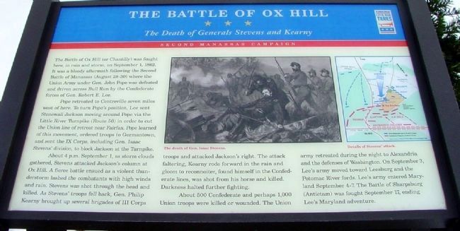
The Battle of Ox Hill (or Chantilly) was fought here, in rain and storm, on September 1, 1862. It was a bloody aftermath following the Second Battle of Manassas (August 28-30) where the Union Army under Gen. John Pope was defeated and driven across Bull Run by the Confederate forces of Robert E. Lee.
Pope retreated to Centreville seven miles west of here. To turn Pope's position, Lee sent Stonewall Jackson moving around Pope via the Little River Turnpike (Route 50) in order to cut the Union line of retreat near Fairfax. Pope learned of this movement, ordered troops to Germantown, and sent the IX Corps, including Gen. Issac Stevens' division, to block Jackson at the Turnpike.
About 4 p.m. September 1, as storm clouds gathered, Stevens attacked Jackson's column at Ox Hill. A fierce battle ensued as a violent thunderstorm lashed the combatants with high winds and rain. Stevens was shot through the head and killed. As Stevens's troops fell back, Gen. Philip Kearny brought up several brigades of III Corps troops and attacked Jackson's right. The attack faltering, Kearny rode forward in the rain and gloom to reconnoiter, found
this page online
About 500 Confederate troops and perhaps 1,000 Union troops were killed or wounded. The Union army retreated during the night to Alexandria and the defenses of Washington. On September 3, Lee's army moved towards Leesburg and the Potomac River fords. Lee's army entered Maryland September 4-7. The Battle of Sharpsburg (Antietam) was fought September 17, ending Lee's Maryland adventure.
Erected by Virginia Civil War Trails.
Topics and series. This historical marker is listed in this topic list: War, US Civil. In addition, it is included in the Virginia Civil War Trails series list. A significant historical month for this entry is September 1862.
Location. Marker has been permanently removed. It was located near 38° 51.927′ N, 77° 22.229′ W. Marker was near Fairfax, Virginia, in Fairfax County. It was at the intersection of Monument Drive and Monument Court, on the left when traveling west on Monument Drive. Marker is at entrance to Ox Hill Battlefield Park one block west of West Ox Road (County Route 608). Touch for map. Marker was in this
Photographed by Bill Coughlin, April 18, 2014
2. The Battle of Ox Hill Marker
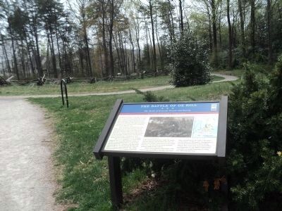
We have been informed that this marker is no longer there and will not be replaced. This page is an archival view of what was.
Regionally, this marker was in the Washington Metropolitan Area and in Northern Virginia. It was also in the American South, specifically in the Upper South, in the Mid-Atlantic, and on the Eastern Seaboard. Globally, it was in the North Atlantic Region, North America, the Western Hemisphere, the Western World, and the Anglosphere. Historically, it found itself in what was once the territory of the Mississippian Culture, one of the original Thirteen Colonies, one of the Confederate States of America, and the Antebellum South.

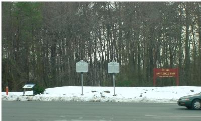
Other nearby markers. At least 8 other markers are within walking distance of this location: A different marker also named Battle of Ox Hill (here, next to this marker); Maryland (Antietam / Sharpsburg) Campaign (a few steps from this marker); Major General Philip Kearny (within shouting distance of this marker); Major General Isaac Ingalls Stevens (within shouting distance of this marker); Boulders and Quartz Stone
Photographed by J. J. Prats, February 16, 2006
3. The Three Markers at Ox Hill Battlefield Park
More about this marker. One of the series of Virginia Civil War Trails markers. This one is on the Second Manassas Campaign.
Also see . . .
1. Major General Isaac Ingalls Stevens. (Submitted on February 19, 2006.)
2. Major General Philip Kearny. (Submitted on February 19, 2006.)
3. Battle of Chantilly, or Ox Hill. Civil War Preservation Trust resource page for the battle. Includes an animated map. (Submitted on September 5, 2008, by Craig Swain of Leesburg, Virginia.)
Photographed by J. J. Prats, March 18, 2006
4. Stevens and Kearny Monuments
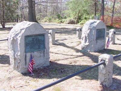
Their last names are chiseled on the opposite side of the stones.
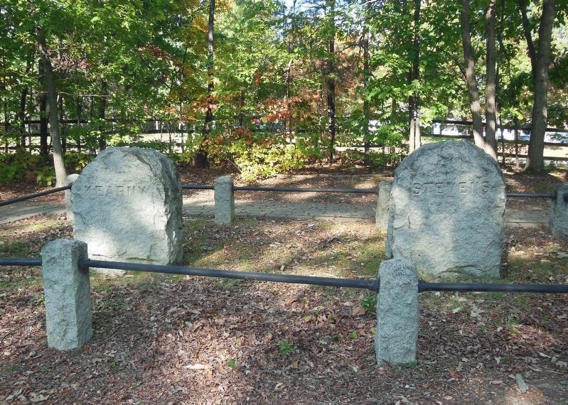
Photographed by Bradley Owen, October 19, 2016
5. Stevens and Kearny Monuments
Their last names are chiseled on the back sides.
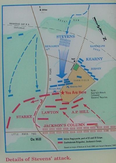
Photographed by J. J. Prats, March 18, 2006
6. Closeup of Map Reproduced on Marker
Credits. This page was last revised on March 1, 2026. It was originally submitted on February 19, 2006, by J. J. Prats of Powell, Ohio. This page has been viewed 5,253 times since then and 101 times this year. Last updated on February 28, 2026, by Mike McKeown of Baltimore, Maryland. Photos: 1. submitted on February 19, 2006, by J. J. Prats of Powell, Ohio. 2. submitted on April 18, 2014, by Bill Coughlin of Woodland Park, New Jersey. 3. submitted on February 17, 2006, by J. J. Prats of Powell, Ohio. 4. submitted on March 18, 2006, by J. J. Prats of Powell, Ohio. 5. submitted on February 17, 2021, by Bradley Owen of Morgantown, West Virginia. 6. submitted on March 18, 2006, by J. J. Prats of Powell, Ohio. • Devry Becker Jones was the editor who published this page.
