Near Bolivar in Jefferson County, West Virginia — The American South (Appalachia)
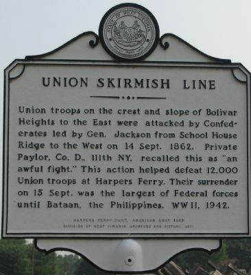
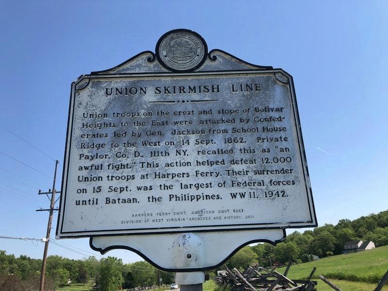
Union Skirmish Line
Erected 2001 by Division of West Virginia Archives and History.
Topics and series. This historical marker is listed in this topic list: War, US Civil. In addition, it is included in the West Virginia Archives and History series list. A significant historical date for this entry is September 14, 1862.
Location. 39° 19.519′ N, 77° 45.985′ W. Marker is near Bolivar, West Virginia, in Jefferson County. Marker is on Bakerton Road, on the right when traveling north. Located on the Bolivar Heights / Schoolhouse Ridge section of the Harpers Ferry National Historic Park. Touch for map. Marker is in this post office area: Harpers Ferry WV 25425, United States of America. Touch for directions.
Other nearby markers. At least 8 other markers are within walking distance of this marker. Battle of Harpers Ferry / Jackson Arrives (within shouting distance of this marker); We Began Firing At Will: The 111th New York Regiment (within shouting distance of this marker); School House Ridge, Harpers Ferry, W.V. (about 400 feet away, measured in a direct line); Five Rounds into the Darkness (about 500 feet away); From Skirmish Line to Burial Ground (about 700 feet away); The Confederate Perspective (approx. 0.2 miles away); A Position Strong by Nature (approx. 0.2 miles away); A Dangerous Position (approx. 0.2 miles away). Touch for a list and map of all markers in Bolivar.
More about this marker.
(Marker Sponsor): Harpers Ferry CWRT, American CWRT (UK)
Also see . . . 1862 Battle of Harpers Ferry. National Parks Service summary of the battle. (Submitted on October 13, 2007, by Craig Swain of Leesburg, Virginia.)
Photographed By Devry Becker Jones (CC0), May 21, 2021
2. Union Skirmish Line Marker
Unfortunately, the marker has weathered.
Photographed By Craig Swain, July 28, 2007
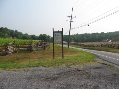
4. Bakerton Road
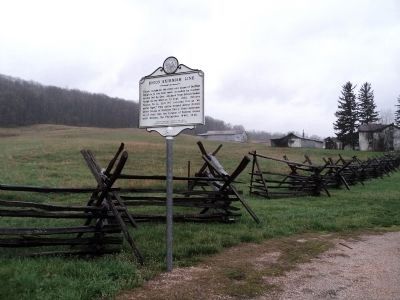
Modern Bakerton Road runs the valley between Schoolhouse Ridge and Bolivar Heights. During the battle for Harpers Ferry on 14 September 1862, Federals pushed skirmishers out into the valley as an early warning to Confederate advances. Unfortunately, this was a rather exposed position.
Photographed By Craig Swain, July 28, 2007
5. Schoolhouse Ridge
The Civil War Preservation Trust acted to secure portions of Schoolhouse Ridge, which will be linked to interpretive trails from the Bolivar Heights section of Harpers Ferry National Historic Park. The entrance to the Schoolhouse Ridge site is across the road from the marker.
Photographed By Craig Swain, September 22, 2007
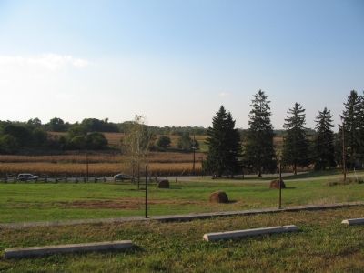
6. Federal Positions
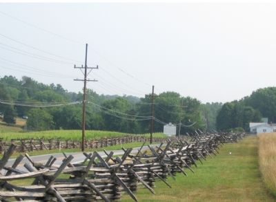
Looking from the Federal positions at the foot of Bolivar Heights. The 111th and 126th New York Infantry Regiments sent skirmishers forward into the valley, nearing the snake rail fence. Confederates deployed on Schoolhouse Ridge, the high ground in the distance, and pressed the skirmishers back.
Credits. This page was last revised on May 21, 2021. It was originally submitted on October 13, 2007, by Craig Swain of Leesburg, Virginia. This page has been viewed 1,422 times since then and 17 times this year. Photos: 1. submitted on October 13, 2007, by Craig Swain of Leesburg, Virginia. 2. submitted on May 21, 2021, by Devry Becker Jones of Washington, District of Columbia. 3. submitted on April 14, 2011, by Bill Coughlin of Woodland Park, New Jersey. 4, 5, 6. submitted on October 13, 2007, by Craig Swain of Leesburg, Virginia.
