Mille Lacs Kathio State Park near Onamia in Mille Lacs County, Minnesota — The American Midwest (Upper Plains)
A Living Laboratory
Kathio Landmark Trail
| — | National Historic Landmark District | — |
Photographed by McGhiever, May 29, 2025
1. A Living Laboratory Marker
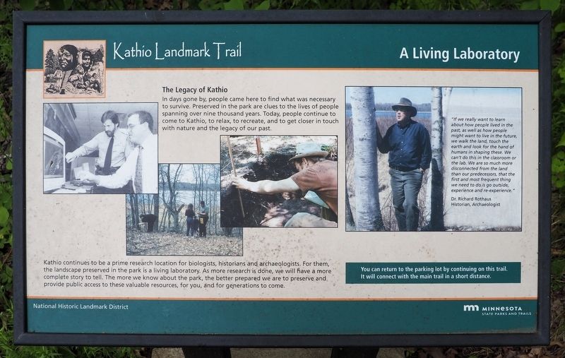
The Legacy of Kathio
In days gone by, people came here to find what was necessary to survive. Preserved in the park are clues to the lives of people spanning over nine thousand years. Today, people continue to come to Kathio, to relax, to recreate, and to get closer in touch with nature and the legacy of our past.
Kathio continues to be a prime research location for biologists, historians and archaeologists. For them, the landscape preserved in the park is a living laboratory. As more research is done, we will have a more complete story to tell. The more we know about the park, the better prepared we are to preserve and provide public access to these valuable resources, for you, and for generations to come.
"If we really want to learn about how people lived in the past, as well as how people might want to live in the future, we walk the land, touch the earth and look for the hand of humans in shaping these. We can't do this in the classroom or the lab. We are so much more disconnected form the land than our predecessors, that the first and most frequent thing we need to do is go outside, experience and re-experience."
Dr.Richard Rothas
Click or scan to see
this page online
Historian, Archaeologist
You can return to the parking lot by continuing on this trail. It will connect with the main trail in a short distance.
Erected by Minnesota State Parks and Trails.
Topics. This historical marker is listed in these topic lists: Anthropology & Archaeology • Indigenous Peoples and Communities.
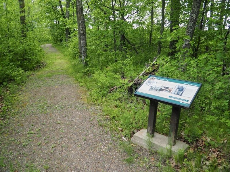
Location. 46° 8.833′ N, 93° 46.248′ W. Marker is near Onamia, Minnesota, in Mille Lacs County. It is in Mille Lacs Kathio State Park. It can be reached from no nearby street. The marker is on the east loop of the Kathio Landmark Trail. Touch for map. Marker is in this post office area: Onamia MN 56359, United States of America. Touch for directions.

Regionally, this marker is in Central Minnesota. It is also in the American Midwest and in the Corn Belt. Globally, it is in North America, the Western Hemisphere, the Western World, and the Anglosphere. Historically, it finds itself in what was once Rupert’s Land, the territory of the Mississippian Culture, and the Northwest Territory.
Other nearby markers. At least 8 other markers
Photographed by McGhiever, May 29, 2025
2. A Living Laboratory Marker on the Kathio Landmark Trail
Credits. This page was last revised on May 5, 2026. It was originally submitted on March 5, 2026, by McGhiever of Minneapolis, Minnesota. This page has been viewed 43 times since then. Photos: 1, 2. submitted on March 5, 2026, by McGhiever of Minneapolis, Minnesota.
