Broadway - Slavic Village in Cleveland in Cuyahoga County, Ohio — The American Midwest (Great Lakes)
Moving a Waterfall
| — | Cleveland Metroparks | — |

Photographed by Craig Doda, December 7, 2025
1. Moving a Waterfall Marker
In 1799, the first mill complex was built at the foot of Mill Creek Falls, and later moved to the top for better operation. The mill provided flour and lumber to residents of Newburg Village for decades.
You are seeing a different waterfall than the settlers saw. With backbreaking work by pick and shovel the waterfall was moved 300 feet south in 1905 to make way for the new route of the Cleveland and Pittsburgh Railroad, creating the waterfall that you see today.
Erected by Cleveland Metroparks.
Topics. This historical marker is listed in these topic lists: Industry & Commerce • Parks & Recreational Areas • Waterways & Vessels. A significant historical year for this entry is 1799.
Location. 41° 26.703′ N, 81° 37.519′ W. Marker is in Cleveland, Ohio, in Cuyahoga County. It is in Broadway - Slavic Village. It is at the intersection of Webb Terrace and Warner Road, on the right when traveling west on Webb Terrace. Touch for map. Marker is at or near this postal address: 8432 Webb Terrace, Cleveland OH 44105, United States of America. Touch for directions.

Regionally, this marker is on the Lake Erie Shore
this page online
Other nearby markers. At least 8 other markers are within 4 miles of this marker, measured as the crow flies: Cataract Falls (within shouting distance of this marker); Broadway / Slavic Village (approx. 2 miles away); German Corners / St. John Evangelical Lutheran Church (approx. 2.2 miles away); Andrew J. Rickoff / Charles Edward Adams (approx. 2.7 miles away); Jim Brown / Carl Burton Stokes (approx. 2.7 miles away); Ludlow Community / Ludlow Community Association (approx. 3 miles away); Brooklyn Heights (approx. 3.1 miles away); Woodland Cemetery (approx. 3.1 miles away). Touch for a list and map of all markers in Cleveland.
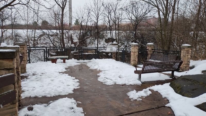
Photographed by Craig Doda, December 7, 2025
2. Moving a Waterfall Marker
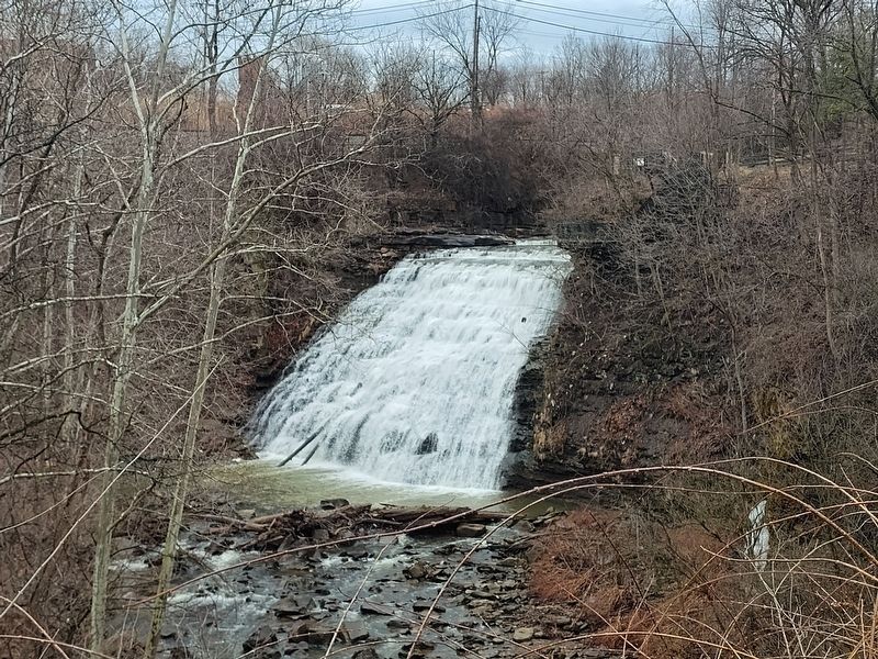
Photographed by Craig Doda, March 7, 2026
3. Mill Creek Falls
Credits. This page was last revised on March 11, 2026. It was originally submitted on March 9, 2026, by Craig Doda of Napoleon, Ohio. This page has been viewed 19 times since then. Photos: 1, 2, 3. submitted on March 9, 2026, by Craig Doda of Napoleon, Ohio. • Devry Becker Jones was the editor who published this page.
