Palma Sola in Manatee County, Florida — The American South (South Atlantic)
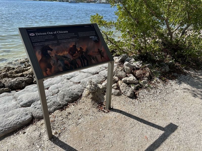
Driven Out of Chicaza
| — | De Soto National Memorial | — |

Photographed by Pete Skillman, March 11, 2026
1. Driven Out of Chicaza Marker
By spring, the Chickasaw were fed up with the Spaniards' cruelty and constant demands. They plotted an ambush.
In the pre-dawn darkness of March 4th, the village erupted in violence as Chickasaw warriors struck. Spaniards stumbled, half-dressed, out of the houses and into a scene of chaos and violence.
De Soto and a few soldiers managed to saddle their horses and charge the attackers, who abruptly retreated.
The Spaniards knew they would return and gathered what meager equipment they had left. For the next two weeks the Indigenous people harassed the expedition, driving them out of Chickasaw territory with attack after attack.
Erected 2025 by National Park Service.
Topics. This historical marker is listed in these topic lists: Exploration • Hispanic Americans • Indigenous Peoples and Communities. A significant historical date for this entry is March 4, 1541.
Location. 27° 31.493′ N, 82° 38.458′ W. Marker is in Palma Sola,
this page online

Regionally, this marker is on the Gulf Coast and on Tampa Bay. It is also in the American South and on the Gulf Coast. Globally, it is in the North Atlantic Region, North America, a Gulf of Mexico state, the Western Hemisphere, the Western World, and the Anglosphere. Historically, it finds itself in what was once New Spain, the territory of the Mississippian Culture, one of the Confederate States of America, and the Antebellum South.
Other nearby markers. At least 8 other markers are within walking distance of this marker: Back to Angola (a few steps from this marker); Battle of Mabila (within shouting distance of this marker); Across the Wide River (within shouting distance of this marker); Cofitachequi (within shouting distance of this marker); Tabby House on the Seashore (about 300 feet away, measured in a direct line); A Punishing Winter (about 300 feet away); Death of a Conquistador (about 400 feet away); A Long and Fruitless March
Photographed by Pete Skillman, March 11, 2026
2. Driven Out of Chicaza Marker - wide view
Other markers no longer nearby. De Soto Point (was a few steps from this marker but has been permanently removed); Tabby House Ruins (was about 300 feet away but has been permanently removed).
Credits. This page was last revised on March 13, 2026. It was originally submitted on March 13, 2026, by Pete Skillman of Wilmington, Delaware. This page has been viewed 18 times since then. Photos: 1, 2. submitted on March 13, 2026, by Pete Skillman of Wilmington, Delaware.
