Palma Sola in Manatee County, Florida — The American South (South Atlantic)
Death of a Conquistador
| — | De Soto National Memorial | — |

Photographed by Pete Skillman, March 11, 2026
1. Death of a Conquistador Marker
But De Soto's health was declining. It may have been an infected wound, or perhaps pneumonia, which had sickened many that winter. It worsened quickly. On May 21, at Guachoya on the west bank of the Mississippi, DeSoto transferred command to a senior officer, Luis de Moscoso, received last rites, and died.
Their leader's death put the expedition in a precarious position. De Soto had presented himself as a god among the Indigenous people. News of his death would severely weaken the Spaniards' standing. In the dark of night, the expedition leaders loaded De Soto's body into a canoe, rowed out from shore, and lowered him secretly into the river.
Erected 2025 by National Park Service.
Topics. This historical marker is listed in these topic lists: Exploration • Hispanic Americans
this page online
Location. 27° 31.444′ N, 82° 38.518′ W. Marker is in Palma Sola, Florida, in Manatee County. It can be reached from 75th Street Northwest. Touch for map. Marker is at or near this postal address: 75th St NW, Bradenton FL 34209, United States of America. Touch for directions.

Regionally, this marker is on the Gulf Coast and on Tampa Bay. It is also in the American South and on the Gulf Coast. Globally, it is in the North Atlantic Region, North America, a Gulf of Mexico state, the Western Hemisphere, the Western World, and the Anglosphere. Historically, it finds itself in what was once New Spain, the territory of the Mississippian Culture, one of the Confederate States of America, and the Antebellum South.
Other nearby markers. At least 8 other markers are within walking distance of this marker: A Long and Fruitless March (within shouting distance of this marker); A Punishing Winter (within shouting distance of this marker); Tabby House on the Seashore (within shouting distance of this marker); Across the Wide River (about 300 feet
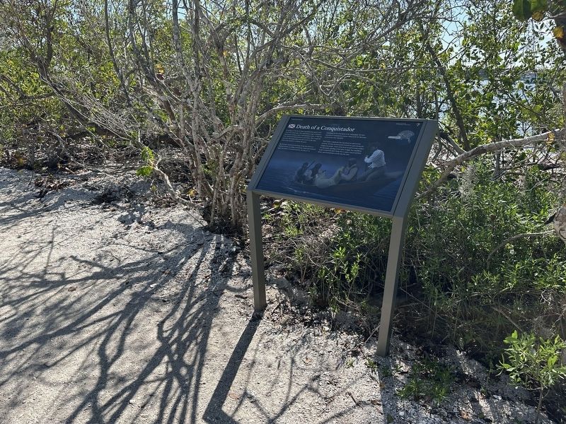
Photographed by Pete Skillman, March 11, 2026
2. Death of a Conquistador Marker - wide view
Another marker is no longer nearby. Tabby House Ruins (was about 300 feet away, measured in a direct line but has been permanently removed).
Credits. This page was last revised on March 13, 2026. It was originally submitted on March 13, 2026, by Pete Skillman of Wilmington, Delaware. This page has been viewed 28 times since then. Photos: 1, 2. submitted on March 13, 2026, by Pete Skillman of Wilmington, Delaware.
