
Near Williamsburg in James City County, Virginia — The American South (Mid-Atlantic)
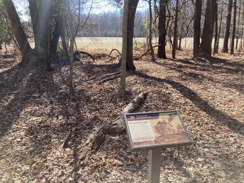
The Governor's Land
| — | Greensprings Interpretive Trail | — |

Photographed by Evan Dwyer, February 14, 2026
1. The Governor's Land Marker
Erected by James City County Parks & Recreation.
Topics. This historical marker is listed in these topic lists: Colonial Era • Settlements & Settlers. A significant historical month for this entry is November 1618.
Location. 37° 14.723′ N, 76° 47.369′ W. Marker is near Williamsburg, Virginia, in James City County. It can be reached from John Tyler Highway (Virginia Route 5) east of Greensprings Road, on the right when traveling east. Marker is on the Greensprings Interpretive Trail. The address given is for
this page online

Regionally, this marker is on Virginia’s Peninsula, in Coastal Virginia, and in the Hampton Roads Metropolitan Area. It is also in the American South, specifically in the Upper South, in the Tidewater, and on the Eastern Seaboard. Globally, it is in the North Atlantic Region, North America, the Western Hemisphere, the Western World, and the Anglosphere. Historically, it finds itself in what was once the territory of the Mississippian Culture, one of the original Thirteen Colonies, one of the Confederate States of America, and the Antebellum South.
Other nearby markers. At least 8 other markers are within walking distance of this marker: The Battle of Green Spring (within shouting distance of this marker); Abandoned Farm Equipment (within shouting distance of this marker); Mainland Farm (within shouting distance of this marker); Agriculture on the Mainland (within shouting distance of this
Photographed by Evan Dwyer, February 14, 2026
2. The Governor's Land Marker
The field beyond is bordered on the far right by the Virginia Capital Trail.
Another marker is no longer nearby. Bacon's Rebellion (was about 500 feet away but has been permanently removed).
Photographed by Evan Dwyer, January 5, 2026
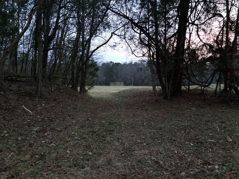
3. The Governor's Land - Green Spring
The site of Green Spring, the seat of Governor's Land and the homesite of Gov. Berkeley, is owned by the National Park Service but is not an interpreted, publicly accessible site. This view looks from the locked gate towards the house site, which would be to the left obscured here by the trees on the landscaping berm. The berms on either side of this old road are historic, with the one on the right being part of the terracing system used by the Ludwell and Lee families when they came into possession of the property following Berkeley's death. The Green Spring house built following Berkley's death was on the terrace to the right, obscured again by the berm's trees. The brick structure in the distance is the most intact feature of the site, though its purpose is unknown; it is referred to as the "old jail" in a variety of texts and sat just south of the road that wove through the property from the lowlands and marshes between Green Spring and Jamestown. It was here at Green Spring that some of Bacon's rebels were hung.
Credits. This page was last revised on March 16, 2026. It was originally submitted on March 13, 2026, by Evan Dwyer of Richmond, Virginia. This page has been viewed 19 times since then. Photos: 1, 2, 3. submitted on March 13, 2026, by Evan Dwyer of Richmond, Virginia. • Bernard Fisher was the editor who published this page.
