
Near James City County in Williamsburg, Virginia — The American South (Mid-Atlantic)
Mainland Farm
| — | Greensprings Interpretive Trail | — |
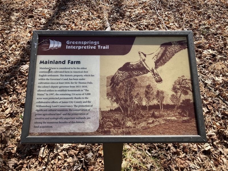
Photographed by Evan Dwyer, February 14, 2026
1. Mainland Farm Marker
Erected by James City County Parks & Recreation.
Topics. This historical marker is listed in these topic lists: Agriculture • Colonial Era • Settlements & Settlers. A significant historical year for this entry is 1616.
Location. 37° 14.723′ N, 76° 47.347′ W. Marker is near James City County in Williamsburg, Virginia. It can be reached from Greenspring Trail. Marker is on the Greensprings
this page online

Regionally, this marker is on Virginia’s Peninsula, in Coastal Virginia, and in the Hampton Roads Metropolitan Area. It is also in the American South, specifically in the Upper South, in the Tidewater, and on the Eastern Seaboard. Globally, it is in the North Atlantic Region, North America, the Western Hemisphere, the Western World, and the Anglosphere. Historically, it finds itself in what was once the territory of the Mississippian Culture, one of the original Thirteen Colonies, one of the Confederate States of America, and the Antebellum South.
Other nearby markers. At least 8 other markers are within walking distance of this marker: The Battle of Green Spring (here, next to this marker); Agriculture on the Mainland (a few steps from this marker); Abandoned Farm Equipment (a few steps from this marker); The Governor's Land (within

Photographed by Evan Dwyer, February 14, 2026
2. Mainland Farm Marker
Another marker is no longer nearby. Bacon's Rebellion (was about 600 feet away but has been permanently removed).
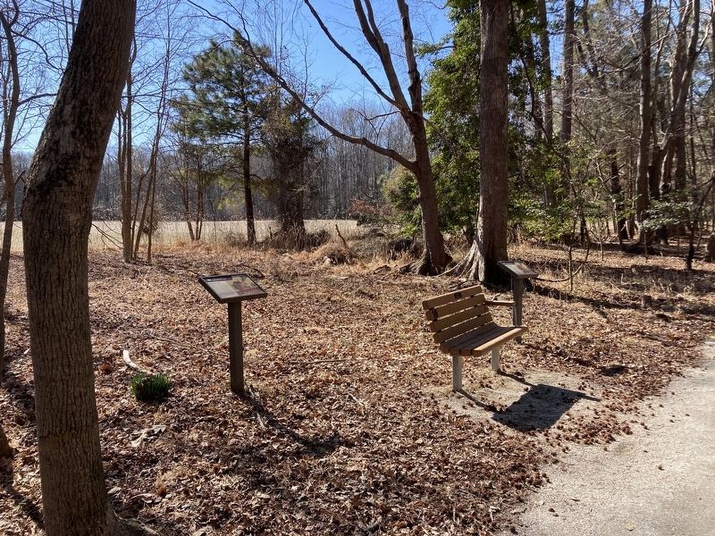
Photographed by Evan Dwyer, February 14, 2026
3. Mainland Farm Marker
The Mainland Farm marker is nearest the camera. There are four total markers at this clearing & bench spot.
Credits. This page was last revised on March 13, 2026. It was originally submitted on March 13, 2026, by Evan Dwyer of Richmond, Virginia. This page has been viewed 49 times since then. Photos: 1, 2, 3. submitted on March 13, 2026, by Evan Dwyer of Richmond, Virginia. • J. J. Prats was the editor who published this page.
