Near Williamsburg in James City County, Virginia — The American South (Mid-Atlantic)
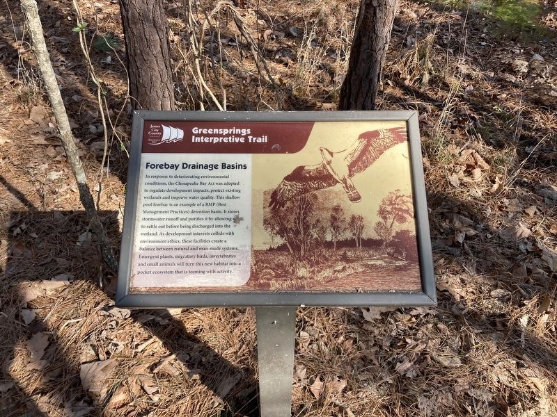
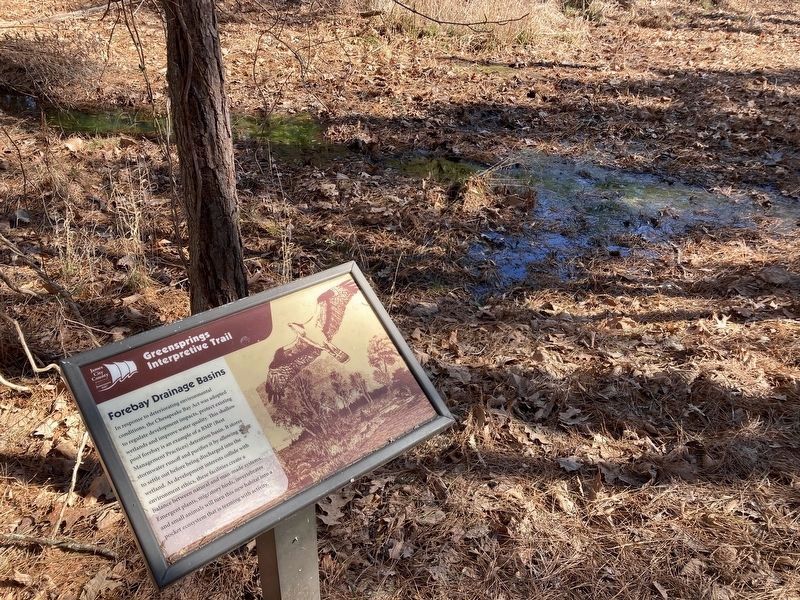
Forebay Drainage Basins
| — | Greensprings Interpretive Trail | — |
Photographed by Evan Dwyer, February 14, 2026
1. Forebay Drainage Basins Marker
Erected by James City County Parks & Recreation.
Topics. This historical marker is listed in these topic lists: Animals • Environment.
Location. 37° 14.783′ N, 76° 47.069′ W. Marker is near Williamsburg, Virginia, in James City County. It can be reached from John Tyler Highway (Virginia Route 5) east of Greensprings Road, on the right when traveling east. Marker is on the Greensprings Interpretive Trail. The
this page online

Regionally, this marker is on Virginia’s Peninsula, in Coastal Virginia, and in the Hampton Roads Metropolitan Area. It is also in the American South, specifically in the Upper South, in the Tidewater, and on the Eastern Seaboard. Globally, it is in the North Atlantic Region, North America, the Western Hemisphere, the Western World, and the Anglosphere. Historically, it finds itself in what was once the territory of the Mississippian Culture, one of the original Thirteen Colonies, one of the Confederate States of America, and the Antebellum South.
Other nearby markers. At least 8 other markers are within walking distance of this marker: Holly Cathedral (about 300 feet away, measured in a direct line); Heritage Trees (about 300 feet away); Fallen Tree (about 400 feet away); The Headright System (about 800 feet away); Unique Tree (about 800 feet away); The Agricultural Revolution
Photographed by Evan Dwyer, February 14, 2026
2. Forebay Drainage Basins Marker & Basin
Credits. This page was last revised on March 16, 2026. It was originally submitted on March 13, 2026, by Evan Dwyer of Richmond, Virginia. This page has been viewed 20 times since then. Photos: 1, 2. submitted on March 13, 2026, by Evan Dwyer of Richmond, Virginia. • Bernard Fisher was the editor who published this page.
