Holland Marsh in Newmarket in York Region, Ontario — Central Canada (North America)
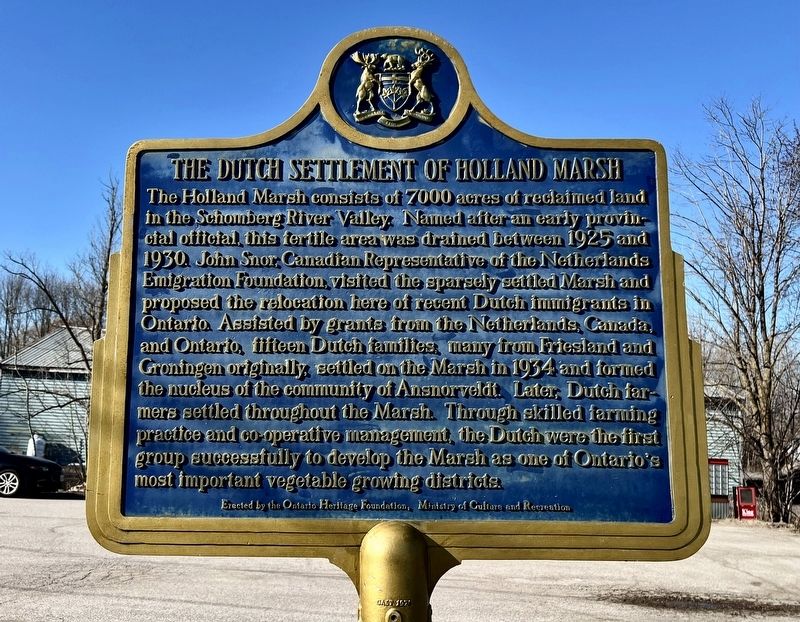
The Dutch Settlement of Holland Marsh
Photographed by Tim Boyd, March 9, 2026
1. The Dutch Settlement of Holland Marsh Marker
Erected by Ontario Heritage Foundation.
Topics. This historical marker is listed in these topic lists: Agriculture • Immigration • Settlements & Settlers. A significant historical year for this entry is 1934.
Location. 44° 4.8′ N, 79° 32.305′ W. Marker is in Newmarket, Ontario, in York Region. It
this page online

Regionally, this marker is in Greater Toronto, specifically on the Golden Horseshoe, in the York, Durham and Headwaters Area, and in the Toronto Metropolitan Area. It is also in Central Canada. Globally, it is in North America, the Western Hemisphere, the Western World, and the Anglosphere. Historically, it finds itself in what was once a British colony, the Viceroyalty of New France, the Haudenosaunee (Iroquois) Confederacy, and Rupert’s Land.
Other nearby markers. At least 8 other markers are within 8 kilometers of this marker, measured as the crow flies: Elizabeth Gwillim Simcoe (approx. 4.5 kilometers away); The Scotch Settlement (approx. 6.3 kilometers away); Meeting House of the Religious Society of Friends (Quakers) 1810 (approx. 6.4 kilometers away); The Kelley Swing Bridge (approx. 6.7 kilometers away); Pioneer Burying Ground (approx. 6.8 kilometers away);
Photographed by Tim Boyd, March 9, 2025
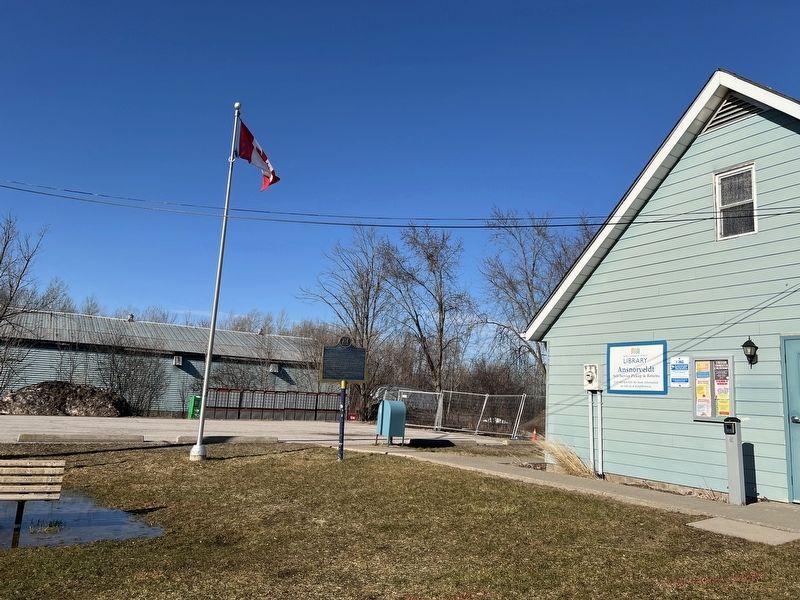
2. The Dutch Settlement of Holland Marsh Marker
Facing north toward Bernhardt Road
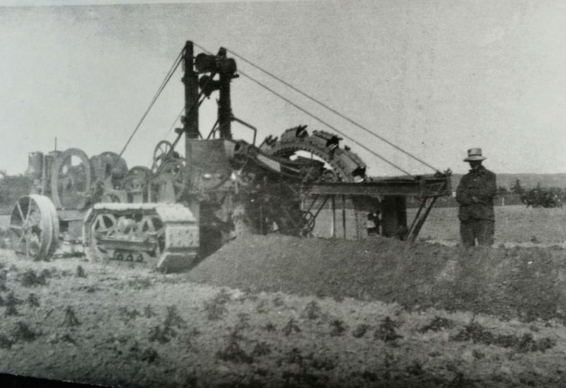
3. Draining the Holland Marsh, 1925
Bradford West Gwillimbury library (public domain(
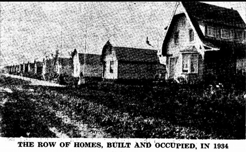
4. Dutch houses in the Holland Marsh, 1934
Bradford Public Library (public domain)
Credits. This page was last revised on March 18, 2026. It was originally submitted on March 17, 2026, by Tim Boyd of Hamilton, Ontario. This page has been viewed 19 times since then. Photos: 1, 2, 3, 4. submitted on March 17, 2026, by Tim Boyd of Hamilton, Ontario. • Andrew Ruppenstein was the editor who published this page.
