Old Town in Winchester, Virginia — The American South (Mid-Atlantic)
Second Battle of Winchester
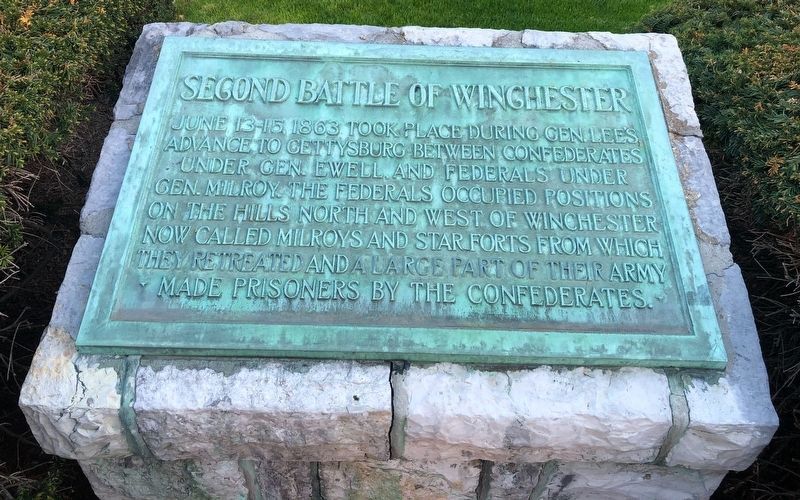
June 13-15, 1863 took place during Gen. Lee’s advance to Gettysburg between Confederates under Gen. Ewell and Federals under Gen. Milroy. The Federals occupied positions on the hills north and west of Winchester now called Milroys and Star Forts from which they retreated and a large part of their army made prisoners by the Confederates.
Topics and series. This historical marker is listed in this topic list: War, US Civil. In addition, it is included in the Battlefield Markers Association series list. A significant historical date for this entry is June 13, 1863.
Location. 39° 11.035′ N, 78° 9.876′ W. Marker is in Winchester, Virginia. It is in Old Town. It is at the intersection of East Boscawen Street and North Cameron Street (Business U.S. 522), on the left when traveling east on East Boscawen Street. Touch for map. Marker is at or near this postal address: 29 E Boscawen St, Winchester VA 22601, United States of America. Touch for directions.

Regionally, this marker is in Virginia’s Shenandoah Valley. It is also in the American South, specifically in the Upper South, and in the Mid-Atlantic. Globally, it is in North
this page online
Other nearby markers. At least 8 other markers are within walking distance of this marker: The Winchester Star (a few steps from this marker); Rouss City Hall Historical Tour (within shouting distance of this marker); Winchester's U.S. Colored Troops (within shouting distance of this marker); Winchester (within shouting distance of this marker); George Washington's Political Career Began on This Site (within shouting distance of this marker); Jacob H. Yost Building (within shouting distance of this marker); Winchester During the Civil War (within shouting distance of this marker); Lord Fairfax (within shouting distance of this marker). Touch for a list and map of all markers in Winchester.
Also see . . . Second Battle of Winchester. National Parks Service summary. (Submitted on September 23, 2007, by Craig Swain of Leesburg, Virginia.)
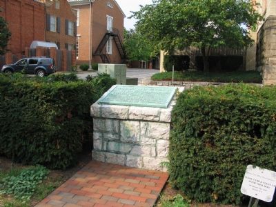
Photographed by Craig Swain, August 26, 2007
2. Second Battle of Winchester Marker
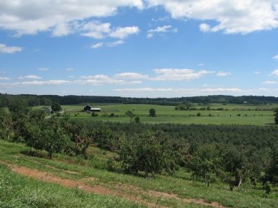
Photographed by Craig Swain, September 15, 2007
3. Site of Early's Flank Attack
Gen Jubal Early maneuvered far to the west of Winchester and launched a flank attack on West Fort from the high ground in the background. As mentioned on the marker, once West Fort had fallen, Forts Milroy and Star Fort were also open to flanking attacks, precipitating a withdrawal of the Federals.
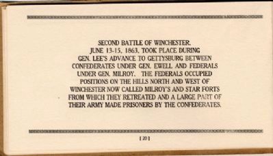
Photographed by Bernard Fisher, April 29, 2006
4. Battlefield Markers Association, Western Division (1929)
Credits. This page was last revised on March 18, 2026. It was originally submitted on September 23, 2007, by Craig Swain of Leesburg, Virginia. This page has been viewed 2,594 times since then and 53 times this year. Last updated on March 18, 2026, by Mike McKeown of Baltimore, Maryland. Photos: 1. submitted on April 17, 2021, by Devry Becker Jones of Washington, District of Columbia. 2, 3. submitted on September 23, 2007, by Craig Swain of Leesburg, Virginia. 4. submitted on December 9, 2008, by Bernard Fisher of Richmond, Virginia. • Devry Becker Jones was the editor who published this page.
