
Eastmoor in Columbus in Franklin County, Ohio — The American Midwest (Great Lakes)
Livingston Heights Place
⎯⎯⎯
Dr. Roberto Villalon (1925-2008)
Photographed by Grant & Mary Ann Fish, January 12, 2026
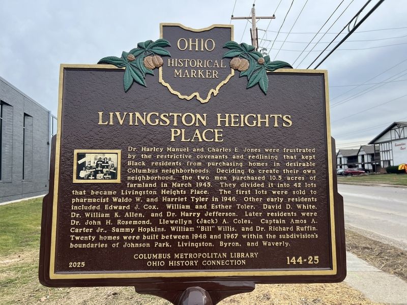
1. Livingston Heights Place side of marker
Livingston Heights Place. Dr. Harley Manuel and Charles E. Jones were frustrated by the restrictive covenants and redlining that kept Black residents from purchasing homes in desirable Columbus neighborhoods. Deciding to create their own neighborhood, the two men purchased 10.5 acres of farmland in March 1945. They divided it into 42 lots that became Livingston Heights Place. The first lots were sold to pharmacist Waldo W. and Harriet Tyler in 1946. Other early residents included Edward J. Cox, William and Esther Toler, David D. White, Dr. William K. Allen, and Dr. Harry Jefferson. Later residents were Dr. John H. Rosemond, Llewellyn (Jack) A. Coles, Captain Amos A. Carter Jr., Sammy Hopkins, William “Bill” Willis, and Dr. Richard Ruffin. Twenty homes were built between 1948 and 1967 within the subdivision’s boundaries of Johnson Park, Livingston, Byron, and Waverly.
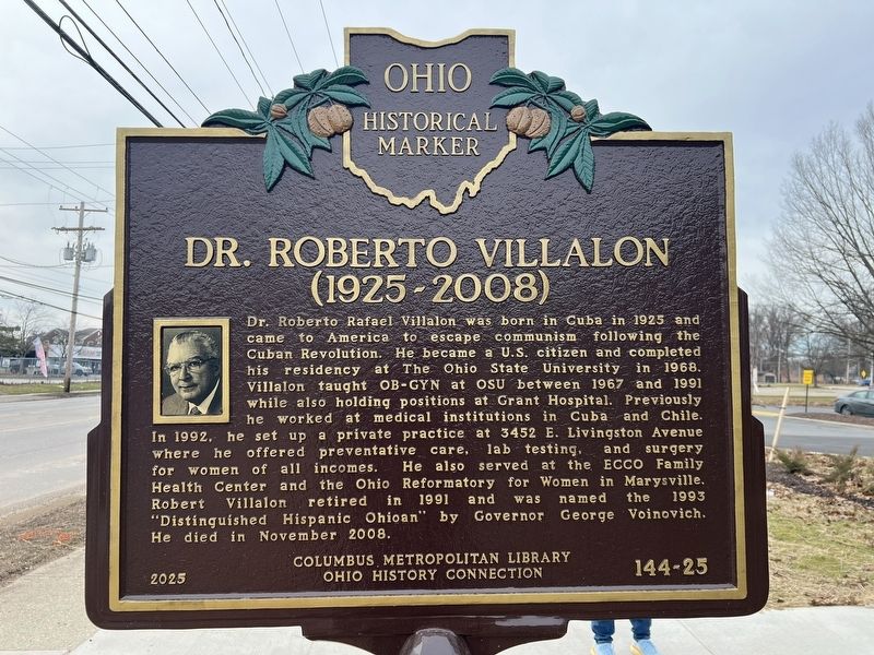
Dr. Roberto Villalon (1925-2008). Dr. Roberto Rafael Villalon was born in Cuba in 1925 and came to America to escape communism following the Cuban Revolution. He became a U.S. citizen and completed his residency at The Ohio State University in 1968. Villalon
this page online
Erected 2025 by Columbus Metropolitan Library, Ohio History Connection. (Marker Number 144-25.)
Topics. This historical marker is listed in these topic lists: African Americans • Hispanic Americans • Immigration • Settlements & Settlers. A significant historical month for this entry is March 1945.
Location. 39° 56.785′ N, 82° 54.277′ W. Marker is in Columbus, Ohio, in Franklin County. It is in Eastmoor. It is on East Livingston Avenue 0.1 miles east of Barnett Road, on the left when traveling east. Touch for map. Marker is at or near this postal address:
Photographed by Grant & Mary Ann Fish, January 12, 2026
2. Dr. Roberto Villalon (1925-2008) side of marker

Regionally, this marker is in Ohio’s Scioto Valley. It is also in the American Midwest and in the Corn Belt. Globally, it is in North America, the Western Hemisphere, the Western World, and the Anglosphere. Historically, it finds itself in what was once the Haudenosaunee (Iroquois) Confederacy, the territory of the Mississippian Culture, and the Northwest Territory.
Other nearby markers. At least 8 other markers are within 2 miles of this marker, measured as the crow flies: Whitehall Tavern (approx. 0.7 miles away); Eastmoor (approx. 1.3 miles away); A Brief History of Eastmoor / Eastmoor Polo Field (approx. 1.6 miles away); The National Road / The Interurban Electric Railway (approx. 1.7 miles away); The Underground Railroad (approx. 1.8 miles away); Capital University (approx. 1.8 miles away); Please Allow This Piece of History to Remain As Is (approx. 1.9 miles away); The Drexel Theater (approx. 2 miles away). Touch for a list and map of all markers in Columbus.
Photographed by Grant & Mary Ann Fish, January 12, 2026
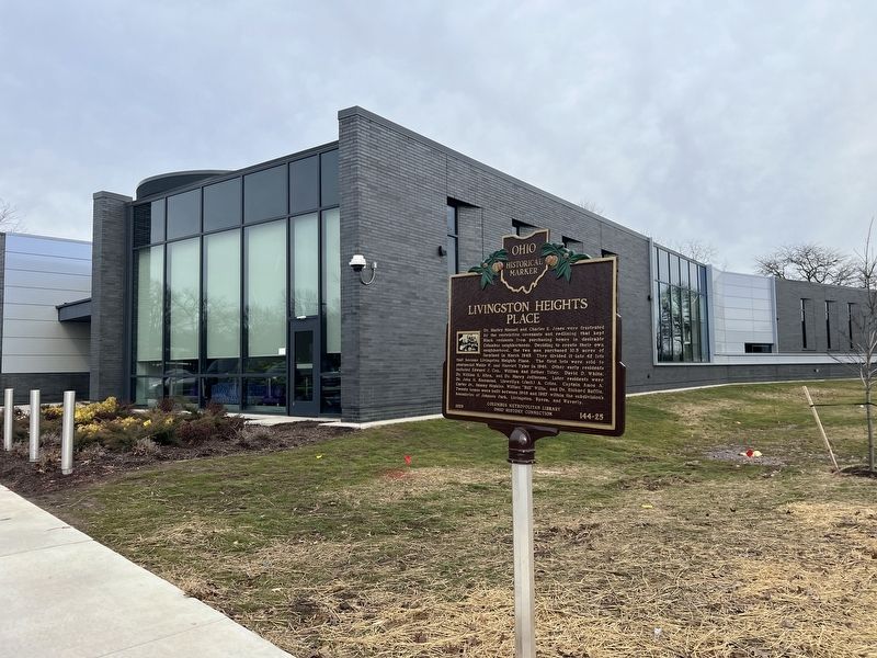
3. Marker with library in the background
Credits. This page was last revised on March 20, 2026. It was originally submitted on March 20, 2026, by Grant & Mary Ann Fish of Galloway, Ohio. This page has been viewed 17 times since then. Photos: 1, 2, 3. submitted on March 20, 2026, by Grant & Mary Ann Fish of Galloway, Ohio. • Devry Becker Jones was the editor who published this page.
