
Hot Springs in Alleghany County, Virginia — The American South (Mid-Atlantic)
Bath County
⎯⎯⎯
Alleghany County
Photographed by Stephen Escalera
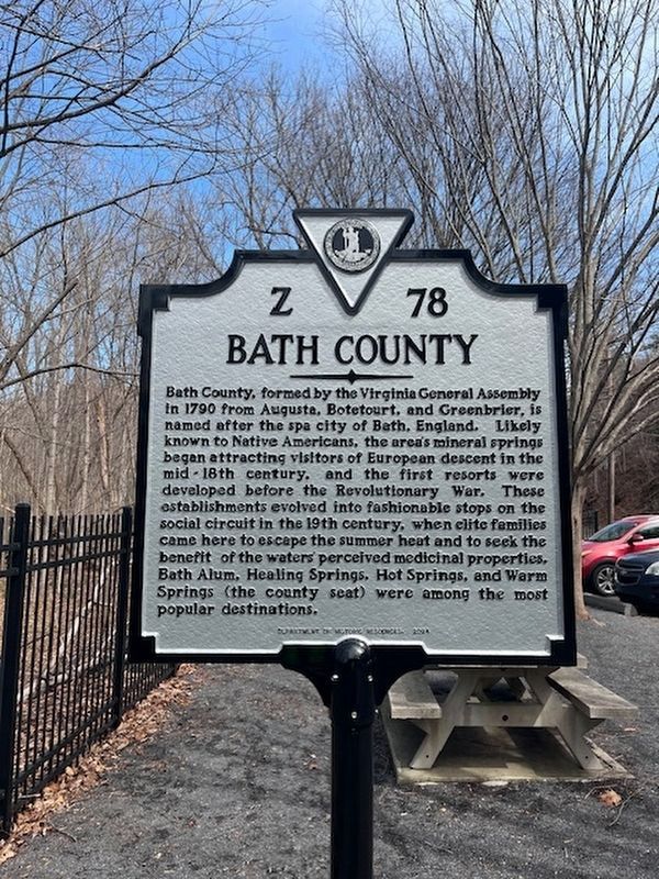
1. Bath County side of the marker
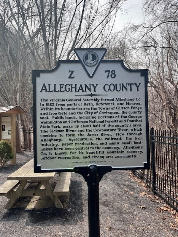
Alleghany County. The Virginia General Assembly formed Alleghany Co. in 1822 from parts of Bath, Botetourt, and Monroe. Within its boundaries are the Towns of Clifton Forge and Iron Gate and the City of Covington, the county seat. Public lands, including portions of the George Washington and Jefferson National Forests and Douthat State Park, make up about half of the county’s area. The Jackson River and the Cowpasture River, which combine to form the James River, flow through Alleghany. Agriculture, the railroad, the iron industry, paper production, and many small businesses have been central to the economy. Alleghany Co. is known for its beautiful mountain scenery, outdoor recreation, and strong arts community.
Bath County. Bath County, formed by the Virginia General Assembly in 1790 from Augusta, Botetourt, and Greenbrier, is named after the spa city of Bath, England. Likely known to Native Americans, the area’s mineral springs began attracting visitors of European descent in the mid-18th century, and the first resorts were developed before the Revolutionary War. These establishments evolved into fashionable stops
this page online
Erected 2024 by Department of Historic Resources. (Marker Number K-78.)
Topics and series. This historical marker is listed in these topic lists: Parks & Recreational Areas • Political Subdivisions • Settlements & Settlers • Waterways & Vessels. In addition, it is included in the Virginia Department of Historic Resources (DHR) series list. A significant historical year for this entry is 1822.
Location. 37° 52.055′ N, 79° 56.833′ W. Marker is in Hot Springs, Virginia, in Alleghany County. It is on Hot Springs Road (Route 220) west of Falls Road (Virginia Route 640), on the right when traveling west. The marker stands at the Falling Springs Falls wayside. Touch for map. Marker is at or near this postal address: 4775 Hot Springs Rd, Hot Springs VA 24445, United States of America. Touch for directions.

Regionally, this marker is in Virginia’s
Photographed by Stephen Escalera, March 21, 2026
2. Alleghany County side of the marker
Other nearby markers. At least 8 other markers are within 6 miles of this marker, measured as the crow flies: Falling Spring Falls (here, next to this marker); "Mad Ann" Bailey (about 300 feet away, measured in a direct line); The Road to the Kanawha (approx. 1.3 miles away); Fort Breckenridge (approx. 1½ miles away); Alleghany's Heroic Dead (approx. 5.8 miles away); a different marker also named Alleghany's Heroic Dead (approx. 5.8 miles away); Alleghany's Heroic Dead. (approx. 5.8 miles away); Alleghany County Confederate Soldiers Monument (approx. 5.8 miles away).
Photographed by Tim Fillmon, July 23, 2026
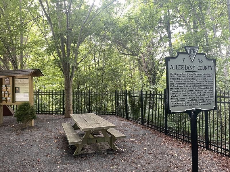
3. Bath County / Alleghany County Marker
Credits. This page was last revised on July 24, 2026. It was originally submitted on March 23, 2026, by Stephen Escalera of Roanoke, Virginia. This page has been viewed 12 times since then. Photos: 1, 2. submitted on March 23, 2026, by Stephen Escalera of Roanoke, Virginia. 3. submitted on July 24, 2026, by Tim Fillmon of Webster, Florida. • Devry Becker Jones was the editor who published this page.
