
Tinicum Township in Prospect Park in Delaware County, Pennsylvania — The American Northeast (Mid-Atlantic)
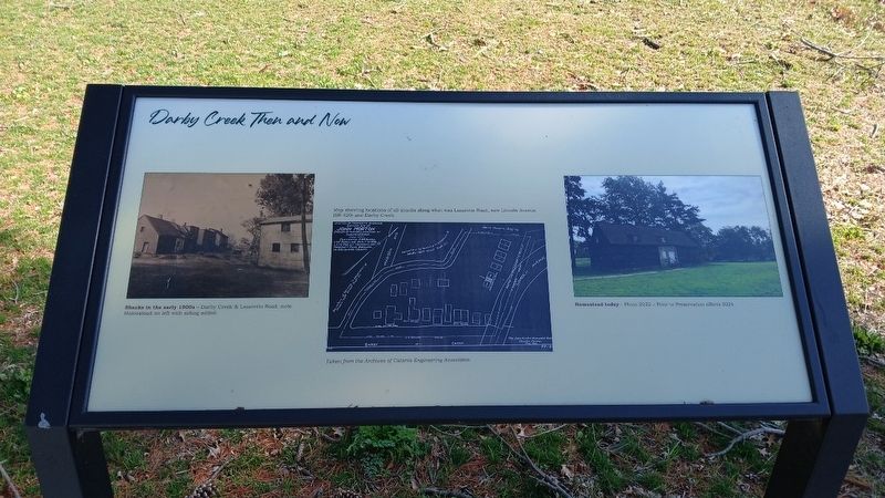
Darby Creek Then and Now
Photographed by Kate Clifford
1. Darby Creek Then and Now Marker
Map showing locations of all shacks along what was Lazaretto Road, now Lincoln Avenue (SR 420) and Darby Creek. Taken from the Archives of Catania Engineering Associates.
Homestead today– Photo 2022– Prior to Preservation efforts 2024
Erected 2024 by Borough of Prospect Park and Delaware County Council.
Topics. This historical marker is listed in these topic lists: Colonial Era • Settlements & Settlers • Waterways & Vessels. A significant historical year for this entry is 1900.
Location. 39° 52.611′ N, 75° 18.312′ W. Marker is in Prospect Park, Pennsylvania, in Delaware County. It is in Tinicum Township. It can be reached from Lincoln Avenue. This marker is to the right of another marker of the same name, both to the southeast of the Homestead. Touch for map. Marker is at or near this postal address: 100 Lincoln Ave, Prospect Park PA 19076, United States of America. Touch for directions.

Regionally, this marker is in Southeast Pennsylvania and in Greater Philadelphia. It is also in the American Northeast
this page online
Other nearby markers. At least 8 other markers are within walking distance of this marker: A different marker also named Darby Creek Then and Now (here, next to this marker); A Change For the Worse? (within shouting distance of this marker); John Morton– Signer of the Declaration of Independence (within shouting distance of this marker); a different marker also named The Ferry Landing (within shouting distance of this marker); Welcome to the Morton Homestead (within shouting distance of this marker); a different marker also named Welcome to the Morton Homestead (within shouting distance of this marker); Welcome (within shouting distance of this marker); a different marker also named Morton Homestead (within shouting distance of this marker). Touch for a list and map of all markers in Prospect Park.
Other markers no longer nearby. Even History Changes
Photographed by Kate Clifford, March 17, 2026
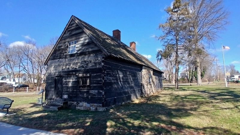
2. Morton Homestead South & East Elevations
More about this marker. These two markers replace earlier markers of the same name
Photographed by Kate Clifford, March 17, 2026
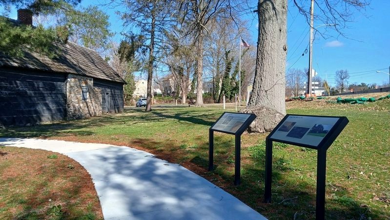
3. Darby Creek Then and Now Markers and Morton Homestead
Credits. This page was last revised on March 25, 2026. It was originally submitted on March 24, 2026, by Kate Clifford of Lansdowne, Pennsylvania. This page has been viewed 16 times since then. Photos: 1, 2, 3. submitted on March 24, 2026, by Kate Clifford of Lansdowne, Pennsylvania. • Bill Pfingsten was the editor who published this page.
