Mount Joy in Lancaster County, Pennsylvania — The American Northeast (Mid-Atlantic)
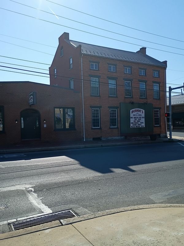
The Washington House
Richland
| — | Built 1858 | — |
Photographed by William Pope, February 28, 2026
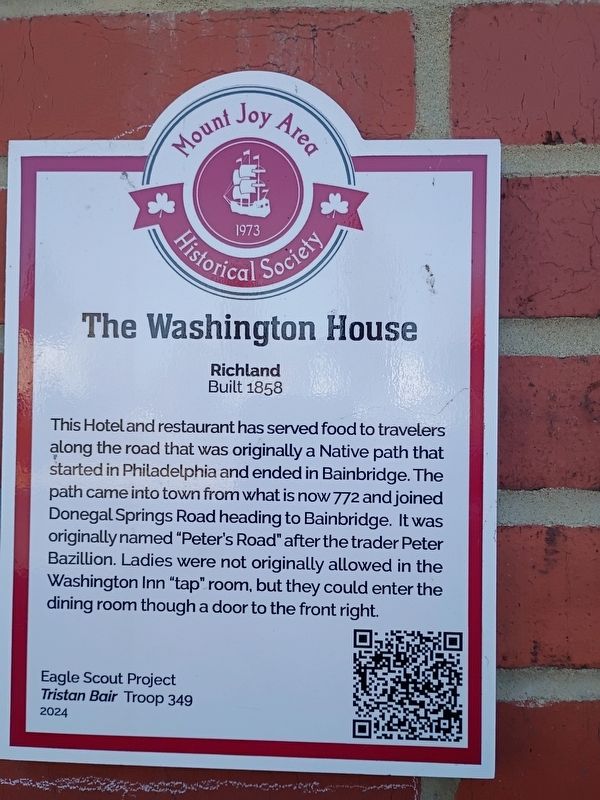
1. The Washington House Marker
This Hotel and restaurant has served food to travelers along the road that was originally a Native path that started in Philadelphia and ended in Bainbridge. The path came into town from what is now 772 and joined Donegal Springs Road heading to Bainbridge. It was originally named "Peter's Road" after the trader Peter Bazillion. Ladies were not originally allowed in the Washington Inn "tap" room, but they could enter the dining room though a door to the front right.
Erected 2024 by Eagle Scout Project Tristan Bair Troop 349.
Topics. This historical marker is listed in these topic lists: Fraternal or Sororal Organizations • Indigenous Peoples and Communities • Industry & Commerce • Roads & Vehicles. A significant historical year for this entry is 1858.
Location. 40° 6.625′ N, 76° 30.405′ W. Marker is in Mount Joy, Pennsylvania, in Lancaster County. It is at the intersection of West Main Street (Pennsylvania Route 230) and New Haven Street, on the right when traveling east on West Main Street. Touch for map. Marker is at or near this postal address: 78 West Main Street, Mount Joy PA 17552, United States
this page online

Regionally, this marker is in South-Central Pennsylvania, specifically in Pennsylvania Dutch Country, and in the Susquehanna Valley. It is also in the American Northeast and in the Mid-Atlantic. Globally, it is in North America, the Western Hemisphere, the Western World, and the Anglosphere. Historically, it finds itself in what was once the Haudenosaunee (Iroquois) Confederacy and also one of the original Thirteen Colonies.
Other nearby markers. At least 8 other markers are within walking distance of this marker: The Old Bethel Church (about 600 feet away, measured in a direct line); Cemetery Road School House (about 700 feet away); Old Standby Park (about 700 feet away); Clarence Schock Memorial Park (about 700 feet away); Clarence Schock Foundation (about 700 feet away); Clarence Schock (about 700 feet away); Macedonia African Methodist Episcopal Church (about 700 feet away); Gerberich-Payne Shoe Company (approx. 0.2 miles away). Touch for a list and map of all markers in Mount Joy.
Photographed by William Pope, February 28, 2026
2. The Washington House Marker
Credits. This page was last revised on March 24, 2026. It was originally submitted on March 24, 2026, by William Pope of Marietta, Pennsylvania. This page has been viewed 20 times since then. Photos: 1, 2. submitted on March 24, 2026, by William Pope of Marietta, Pennsylvania. • Devry Becker Jones was the editor who published this page.
