Hamden in South Central Region, Connecticut — The American Northeast (New England)
Heaton Trail
Photographed by Conrad Ward, April 6, 2025
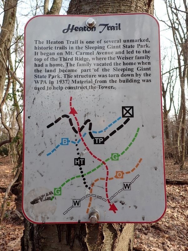
1. Heaton Trail Marker
The Heaton Trail is one of several unmarked, historic trails in the Sleeping Giant State Park. It began on Mt. Carmel Avenue and led to the top of the Third Ridge, where the Weiser family had a home. The family vacated the home when the land became part of the Sleeping Giant State Park. The structure was torn down by the WPA in 1937. Material from the building was used to help construct the Tower.
Erected by Sleeping Giant State Park.
Topics and series. This historical marker is listed in these topic lists: Parks & Recreational Areas • Roads & Vehicles. In addition, it is included in the Works Progress Administration (WPA) projects series list. A significant historical year for this entry is 1937.
Location. 41° 25.793′ N, 72° 53.617′ W. Marker is in Hamden in South Central Region, Connecticut. It can be reached from Whitney Avenue 0.6 miles east of Tuttle Avenue, on the right when traveling north. Located along the Tower Path in Sleeping Giant State Park. Touch for map. Marker is in this post office area: Hamden CT 06518, United States of America. Touch for directions.

Regionally, this marker is in the
this page online
Other nearby markers. At least 8 other markers are within walking distance of this marker: Sleeping Giant State Park (approx. 0.2 miles away); Judge Cook's Oxen Road (approx. 0.3 miles away); a different marker also named Judge Cook's Oxen Road (approx. 0.4 miles away); Sleeping Giant State Park: The Tower Path (approx. 0.6 miles away); Edgar Laing Heermance (approx. 0.6 miles away); Sleeping Giant Quarry (approx. 0.6 miles away); Sleeping Giant: Stories of an Indigenous Place (approx. 0.6 miles away); Walter Owen Filley (approx. 0.7 miles away). Touch for a list and map of all markers in Hamden.
Also see . . .
1. Sleeping Giant State Park. (Submitted on April 1, 2026, by Michael Herrick of Southbury, Connecticut.)
2. Sleeping Giant (Connecticut) (Wikipedia).
Photographed by Conrad Ward, April 6, 2025
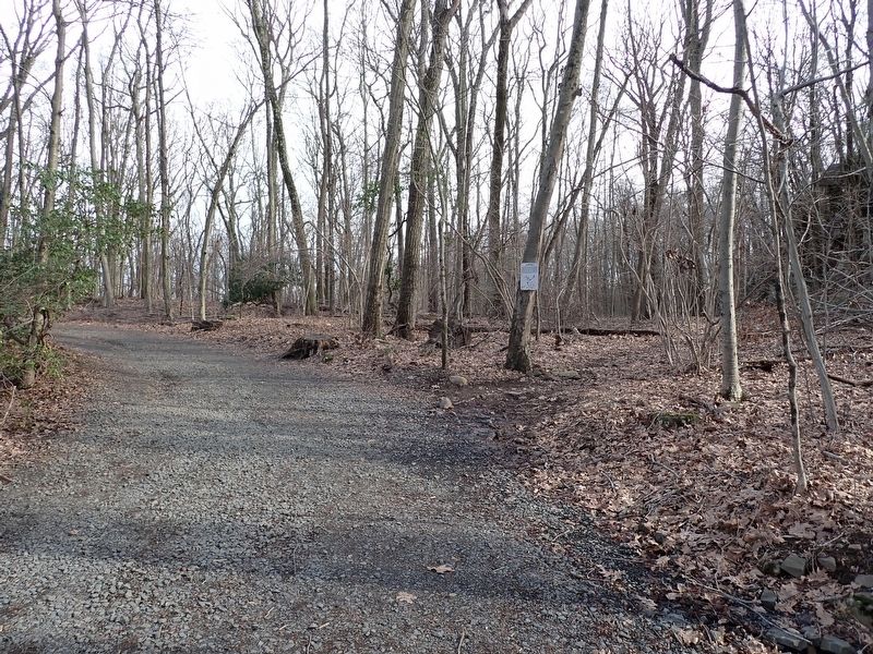
2. Heaton Trail Marker
Credits. This page was last revised on May 19, 2026. It was originally submitted on March 26, 2026, by Conrad Ward of Guilford, Connecticut. This page has been viewed 15 times since then. Photos: 1, 2. submitted on March 26, 2026, by Conrad Ward of Guilford, Connecticut. • Michael Herrick was the editor who published this page.
