Chenango Forks in Chenango County, New York — The American Northeast (Mid-Atlantic)
Food as Healing
Photographed by Bryan Bernardi, March 15, 2025
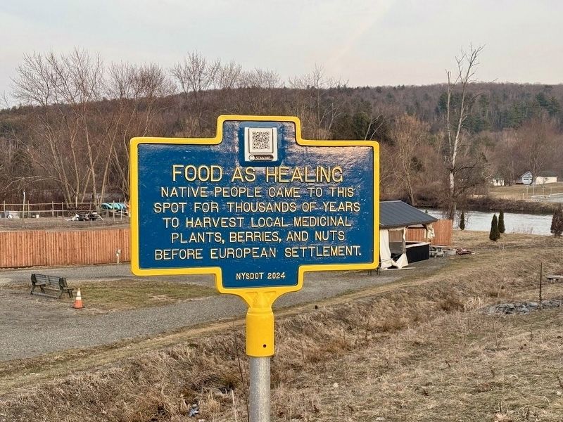
1. Food as Healing Marker
Native people came to this spot for thousands of years to harvest local medicinal plants, berries, and nuts before European settlement.
Erected 2024 by New York State Department of Transportation.
Topics. This historical marker is listed in these topic lists: Indigenous Peoples and Communities • Science & Medicine.
Location. 42° 14.892′ N, 75° 49.628′ W. Marker is in Chenango Forks, New York, in Chenango County. It is at the intersection of New York State Route 79 and Highland Lane, on the right when traveling north on New York State Route 79. This marker stands at the West foot of the NY-79 bridge, leading into the trailer park on Highland Lane. Touch for map. Marker is at or near this postal address: 111 Highland Ln, Chenango Forks NY 13746, United States of America. Touch for directions.

Regionally, this marker is in Upstate New York and in the Southern Tier. It is also in the American Northeast, in the Mid-Atlantic, in Appalachia, and specifically in Northern Appalachia. Globally, it is in North America, the Western Hemisphere, the Western World,
this page online
Other nearby markers. At least 8 other markers are within 6 miles of this marker, measured as the crow flies: Above the Forks (about 600 feet away, measured in a direct line); Lock 107 (approx. 0.8 miles away); The Chenango Canal (approx. 3 miles away); a different marker also named Chenango Canal (approx. 4.9 miles away); Tunnel Est 1800 (approx. 5.6 miles away); a different marker also named Chenango Canal (approx. 5.8 miles away); Early Settlers (approx. 5.9 miles away); Go-Won-Go Mohawk (approx. 6 miles away). Touch for a list and map of all markers in Chenango Forks.
More about this marker. The marker is visible from Highland Lane, NY-79, and the intersection of NY-12 and NY-79. There is a traffic light and a railroad crossing at this intersection.
Regarding Food as Healing. This site was tested by the Cornell University Department of Archaeology prior to construction of the new bridge and intersection commencing to ensure no artifacts or sacred grounds would be disturbed. It was known
Photographed by Bryan Bernardi, March 15, 2025
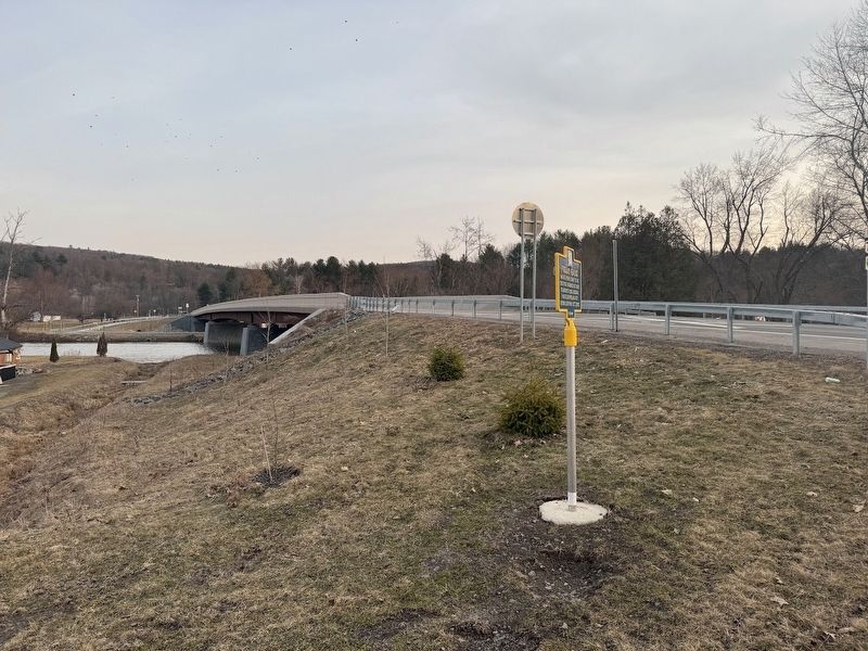
2. Food as Healing Marker
Looking at the marker and the new NY-79 bridge directly behind it, crossing the Chenango River.
Photographed by Bryan Bernardi, March 15, 2025
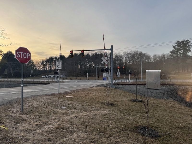
3. Food as Healing Marker
The photographer is standing at the intersection of NY-79 and Highland Lane. The photograph is looking at the intersection of NY-12 and NY-79 with the railroad crossing. The marker is directly behind the photographer.
Credits. This page was last revised on March 30, 2026. It was originally submitted on March 16, 2025, by Bryan Whitaker of Greene, New York. This page has been viewed 165 times since then and 36 times this year. Last updated on March 27, 2026, by Susan A. Dalaba of Cortland, New York. Photos: 1, 2, 3. submitted on March 16, 2025, by Bryan Whitaker of Greene, New York. • Devry Becker Jones was the editor who published this page.
