
Rotorua in Rotorua District, Bay of Plenty Region, New Zealand — Southwestern Pacific Ocean
Nga Whakairo Tupuna (Ancestral Carvings) at the Hinemoa and Arawa Street entrances to the gardens
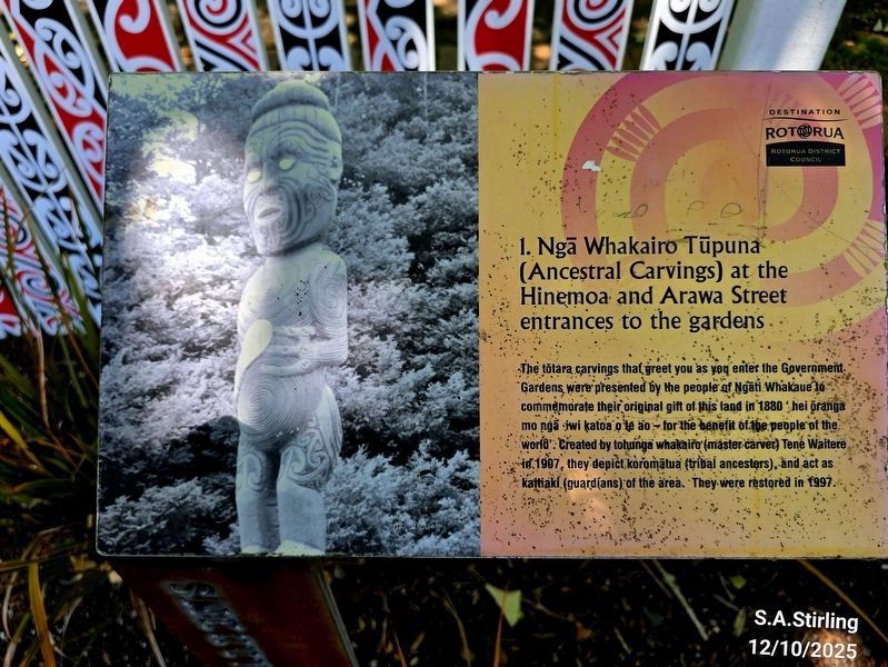
Photographed by Shirley A Stirling, December 10, 2025
1. Along sidewalk at the park's edge.
The tōtara carvings that greet you as you enter the Government Gardens were presented by the people of Ngati Whakaue to commemorate their original gift of this land in 1880 hei oranga mo nga iwi katoa o te ao for the benefit of the people of the world. Created by tohunga whakaire (master carver) Tene Waitere in 1907, they depict koromatua (tribal ancestors) and act as kaitiaki (guardians) of the area. They were restored in 1997.
Erected by Rotorua District Council.
Topics. This historical marker is listed in these topic lists: Anthropology & Archaeology • Arts, Letters, Music • Indigenous Peoples and Communities. A significant historical year for this entry is 1880.
Location. 38° 8.101′ S, 176° 15.341′ E. Marker is in Rotorua, Bay of Plenty Region, in Rotorua District. It is at the intersection of Hinemaru Street and Queens Drive, on the right when traveling south on Hinemaru Street. Touch for map. Marker is at or near this postal address: 1061 Haupapa St, Rotorua, Bay of Plenty Region 3010, New Zealand. Touch for directions.

Regionally, it is in Oceania, in Australasia, in Polynesia, in the
this page online
Other nearby markers. At least 8 other markers are within 3 kilometers of this marker, measured as the crow flies: Government Gardens (a few steps from this marker); Prince’s Gate Arches (a few steps from this marker); Boer War 1899-1902 (about 120 meters away, measured in a direct line); Wylie Memorial (about 120 meters away); This stone laid by Te Naera Te Houkotuku (about 150 meters away); The Croquet Pavilion and sports in the gardens (about 180 meters away); Priest & Radium Hot Springs (approx. 0.4 kilometers away); Te Arawa Hāhi Mihinare / Te Arawa Anglican Church (approx. 3 kilometers away). Touch for a list and map of all markers in Rotorua.
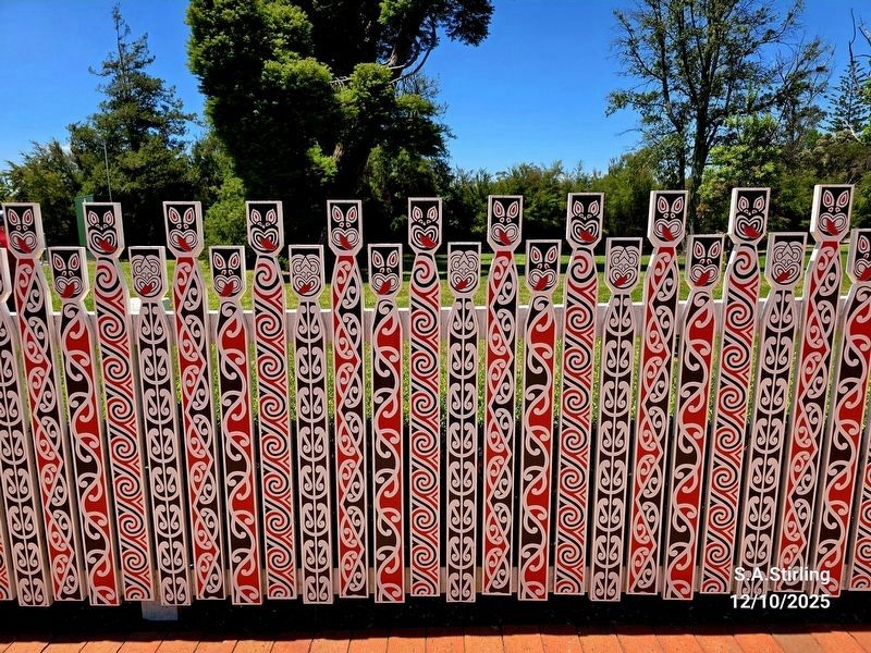
Photographed by Shirley A Stirling, December 10, 2025
2. Along the walkway
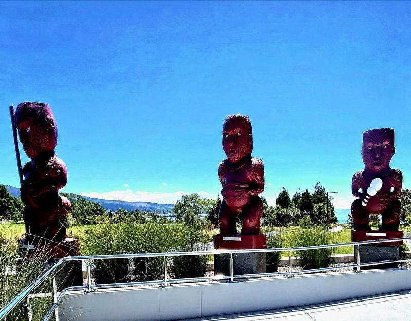
Photographed by Shirley A Stirling, December 10, 2025
3. Nearby carvings
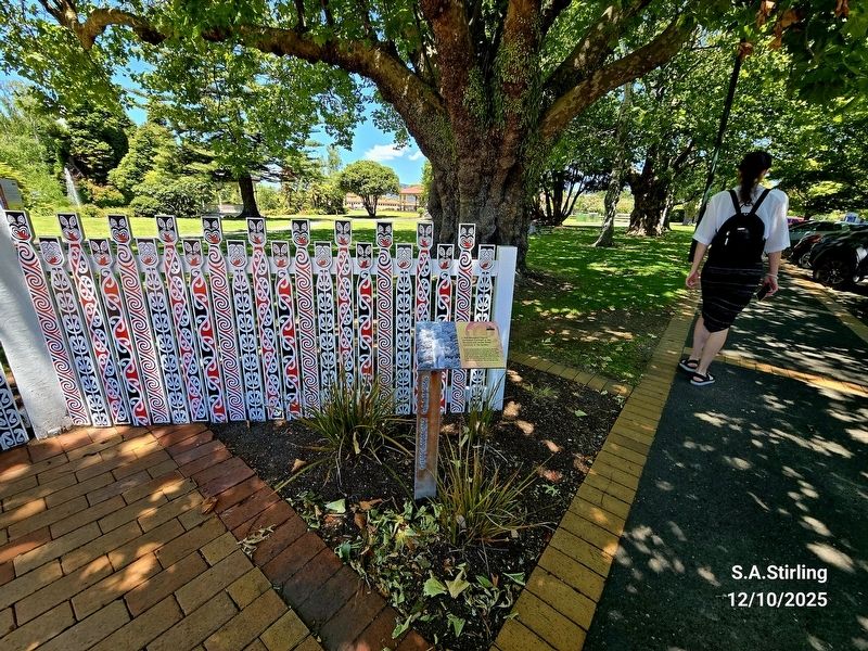
Photographed by Shirley A Stirling, December 10, 2025
4. Nga Whakairo Tupuna (Ancestral Carvings) at the Hinemoa and Arawa Street entrances to the gardens Ma
Credits. This page was last revised on March 31, 2026. It was originally submitted on March 30, 2026, by Shirley A Stirling of Lacey, Washington. This page has been viewed 24 times since then. Photos: 1, 2, 3, 4. submitted on March 30, 2026, by Shirley A Stirling of Lacey, Washington. • Devry Becker Jones was the editor who published this page.
