Bear Creek in Redmond in King County, Washington — The American West (Northwest)
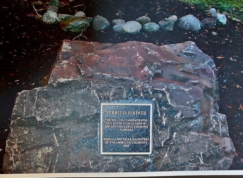
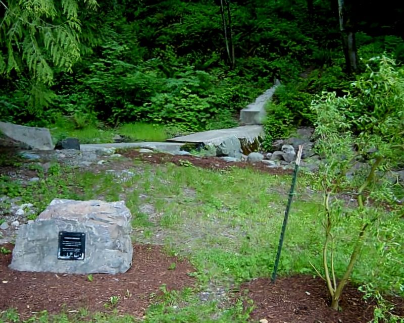
Perrigo Springs
September 24, 2023
1. Perrigo Springs Marker
Erected 2004 by Snoqualmie Falls Daughters of the American Colonists.
Topics. This historical marker is listed in these topic lists: Indigenous Peoples and Communities • Natural Resources • Settlements & Settlers • Waterways & Vessels. A significant historical year for this entry is 1914.
Location. 47° 40.931′ N, 122° 5.624′ W. Marker is in Redmond, Washington, in King County. It is in Bear Creek. It can be reached from Snohomish Drive south of Wapato Drive, on the right when traveling south. From the west: The springs can be accessed from the top of the hill by the Morman Church parking lot by walking down the Ashford Trail (also called the Waterline Trail or Perrigo Woods Trail). Ashford Trail runs east-west along the south boundary of Hartman Park and then downhill along the Perrigo Creek Ravine to a clearing where the trail ends and a paved road begins. Touch for map. Marker is at or near this postal address: 18425 NE 95th St, Redmond WA 98052, United States of America. Touch for directions.

Regionally, this
this page online
Other nearby markers. At least 8 other markers are within 8 miles of this marker, measured as the crow flies: Red Brick Road (approx. 1.8 miles away); Forbes Family History (approx. 5.8 miles away); Juanita Beach Park: The Beginning (approx. 5.9 miles away); Segis Pietertje Prospect (approx. 6.6 miles away); Downtown Park (approx. 6.9 miles away); Military Road (approx. 7.3 miles away); Co-Operative Mercantile Company building in c.1938 (approx. 7.4 miles away); First Round The World Flight (approx. 7.9 miles away).
More about this marker. The marker is adjacent to the Perrigo Springs Tank (and Pump Station). The area is closely monitored by an on-site camera.
Regarding Perrigo Springs. Perrigo Springs, named after an early pioneer family, were the first public
June 4, 2004
2. Perrigo Springs Marker
Also see . . . Perrigo Spring. (Submitted on April 1, 2026, by Shirley A Stirling of Lacey, Washington.)
Credits. This page was last revised on April 15, 2026. It was originally submitted on April 1, 2026, by Shirley A Stirling of Lacey, Washington. This page has been viewed 35 times since then. Photos: 1, 2. submitted on April 1, 2026, by Shirley A Stirling of Lacey, Washington. • Devry Becker Jones was the editor who published this page.
