Near Fredericksburg in Spotsylvania County, Virginia — The American South (Mid-Atlantic)
Heaven and Earth
Photographed by Evan Dwyer, March 14, 2026
1. Heaven and Earth Marker
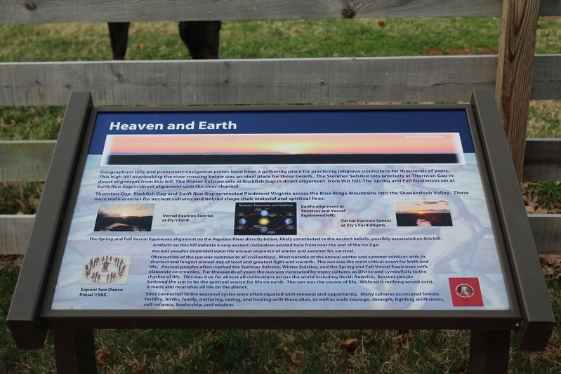
Geographical hills and prehistoric navigation points have been a gathering place for practicing religious convictions for thousands of years. This high hill overlooking the river crossing below was an ideal place for these beliefs. The Summer Solstice sets precisely at Thornton Gap in direct alignment from this hill. The Winter Solstice sets at Rockfish Gap in direct alignment from this hill. The Spring and Fall Equinoxes set at Swift Run Gap in direct alignment with the river channel.
Thornton Gap, Rockfish Gap and Swift Run Gap connected Piedmont Virginia across the Blue Ridge Mountains into the Shenandoah Valley. These were main arteries for ancient cultures and helped shape their material and spiritual lives.
The Spring and Fall Vernal Equinoxes alignment on the Rapid River directly below, likely contributed to the ancient beliefs, possibly associated on this hill.
Artifacts on this hill indicate a very ancient civilization existed here from near the end of the Ice Age.
Ancient peoples depended upon the annual sequence of winter and summer for survival.
Observation of the sun was common to all civilizations.
this page online
Sites connected to the seasonal cycles were often equated with renewal and opportunity. Many cultures associated female fertility, berths, family, nurturing, caring, and healing with these sites, as well as male courage, strength, fighting skillfulness, self-reliance, leadership, and wisdom.
Erected by Spotsylvania Historical Association, Inc.
Topics. This historical marker is listed in these topic lists: Anthropology & Archaeology
Photographed by Evan Dwyer, March 14, 2026
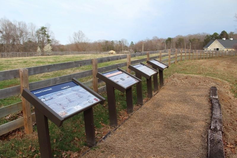
2. Several markers on the grounds of the wayside
Location. 38° 21.38′ N, 77° 40.698′ W. Marker is near Fredericksburg, Virginia, in Spotsylvania County. It is on Elys Ford Road (County Road 610) north of Old Vaucluse Road, on the right when traveling north. Touch for map. Marker is at or near this postal address: 10413 Elys Ford Road, Fredericksburg VA 22407, United States of America. Touch for directions.

Regionally, this marker is in the Washington Metropolitan Area, in Northern Virginia, and in the Piedmont. It is also in the American South, specifically in the Upper South, in the Mid-Atlantic, and on the Eastern Seaboard. Globally, it is in the North Atlantic Region, North America, the Western Hemisphere, the Western World, and the Anglosphere. Historically, it finds itself in what was once the territory of the Mississippian Culture, one of the original Thirteen Colonies, one of the Confederate States of America, and the Antebellum South.
Other nearby markers. At least 8 other markers are within 3 miles of this marker, measured as the crow flies: Legends on Horseback (here, next to this marker); Ancient Crossroads (here, next to this marker); Lookout Tower and Signal Stations (here, next to this marker); Ely’s Ford (a few steps from this marker); Chancellorsville Campaign (approx. 2.8 miles away); Recipe for Union Disaster (approx. 2.8 miles away); Jackson Attacks (approx. 2.8 miles away); Pressing the Attack (approx. 2.8 miles away). Touch for a list and map of all markers in Fredericksburg.
Another marker is no longer nearby. The Flying Dutchmen (was approx. 2.8 miles away but has been replaced with another marker now near it).
Credits. This page was last revised on April 2, 2026. It was originally submitted on April 2, 2026, by Evan Dwyer of Richmond, Virginia. This page has been viewed 18 times since then. Photos: 1, 2. submitted on April 2, 2026, by Evan Dwyer of Richmond, Virginia. • Devry Becker Jones was the editor who published this page.
