San Diego in San Diego County, California — The American West (Pacific Coastal)
Providing Year-Round Water
Old Mission Dam
Photographed by Craig Baker, March 17, 2026
1. Providing Year-Round Water Marker
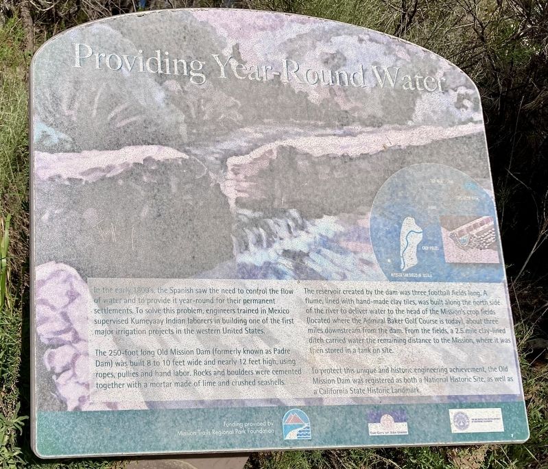
In the early 1800s, the Spanish saw the need to control the flow of water and to provide it year-round for their permanent settlements. To solve this problem, engineers trained in Mexico supervised Kumeyaay Indian laborers in building one of the first major irrigation projects in the western United States.
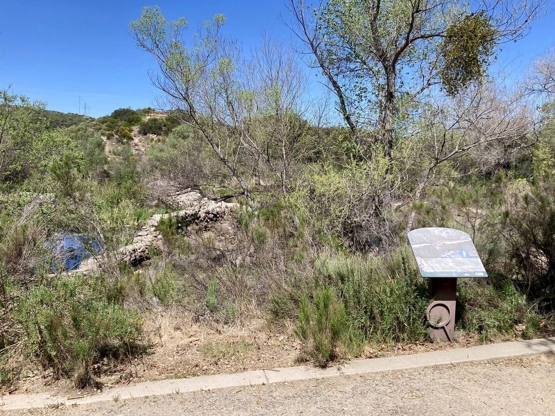
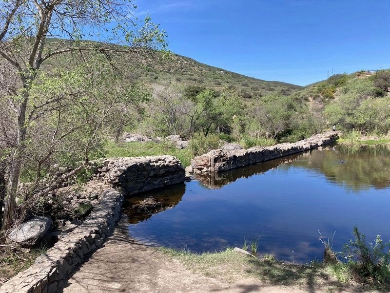
The 250-foot long Old Mission Dam (formerly known as Padre Dam) was built 8 to 10 feet wide and nearly 12 feet high, using ropes, pullies and hand labor. Rocks and boulders were cemented together with a mortar made of lime and crushed seashells.
The reservoir created by the dam was three football fields long. A flume, lined with hand-made clay tiles, was built along the north side of the river to deliver water to the head of the Mission's crop fields (located where the Admiral Baker Golf Course is today), about three miles downstream from the dam. From the fields, a 2.5 mile clay-lined ditch carried water the remaining distance to the Mission, where it was then stored in a tank on site.
To protect this unique and historic engineering achievement, the Old Mission Dam was registered
this page online
Erected by Mission Trails Regional Park Foundation.
Topics. This historical marker is listed in these topic lists: Man-Made Features • Natural Resources • Waterways & Vessels.
Location. 32° 50.36′ N, 117° 2.589′ W. Marker is in San Diego, California, in San Diego County. It is on Father Junipero Serra Trail. Touch for map. Marker is at or near this postal address: 1 Father Junipero Serra Trail, San Diego CA 92119, United States of America. Touch for directions.

Regionally, this marker is in the Peninsular Ranges. It is also in the American Borderlands and on the Pacific Coast. Globally, it is in North America, on the Ring of Fire, on the Pacific Rim, in the Western Hemisphere, in the Western World, and in the Anglosphere. Historically, it finds itself in what was once New Spain and also Mexico’s Alta California.
Other nearby markers. At least 8 other markers are within 6 miles of this marker, measured as the crow flies: Old Mission Dam (within shouting distance of this
Photographed by Craig Baker, March 17, 2026
2. Providing Year-Round Water Marker
Photographed by Craig Baker, March 17, 2026
3. Old Mission Dam
Credits. This page was last revised on April 3, 2026. It was originally submitted on April 3, 2026, by Craig Baker of Sylmar, California. This page has been viewed 18 times since then. Photos: 1, 2, 3. submitted on April 3, 2026, by Craig Baker of Sylmar, California.
