
Weymouth in Norfolk County, Massachusetts — The American Northeast (New England)
First “Town House”
Photographed by G.W.Bartlett, April 4, 2026
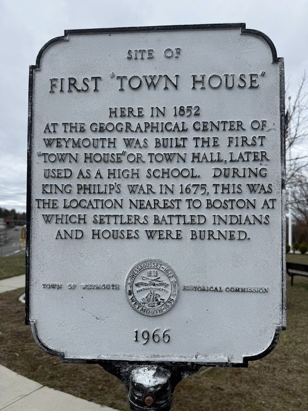
1. First “Town House” Marker
first “Town House”
Here in 1852
at the geographical center of
Weymouth was built the first
“Town House” or Town Hall, later
used as a high school. During
King Philip’s War in 1675, this was
the location nearest to Boston at
which settlers battled Indians
and houses were burned.
Erected 1966 by Town of Weymouth Historical Commission.
Topics. This historical marker is listed in these topic lists: Colonial Era • Education • Settlements & Settlers • Wars, US Indian. A significant historical year for this entry is 1852.
Location. 42° 12.087′ N, 70° 56.763′ W. Marker is in Weymouth, Massachusetts, in Norfolk County. It is at the intersection of Washington Street (Massachusetts Route 53) and Middle Street, on the right when traveling east on Washington Street. Located in Heritage Park. Touch for map. Marker is in this post office area: Weymouth MA 02188, United States of America. Touch for directions.

Regionally, this marker is in Greater Boston. It is also in the American Northeast, in New England, and on the Eastern Seaboard. Globally, it is in the North Atlantic Region, North America, the Western Hemisphere,
this page online
Other nearby markers. At least 8 other markers are within 2 miles of this marker, measured as the crow flies: Abigail Smith Adams (a few steps from this marker); Revolutionary War Patriots (within shouting distance of this marker); The Last Indian Attack (within shouting distance of this marker); Herring Run Time Line (approx. 1½ miles away); Herring Run Pool (approx. 1½ miles away); The Greenbush Line in Weymouth (approx. 1.7 miles away); Osprey Overlook Park (approx. 1.8 miles away); First School House in Weymouth (approx. 1.9 miles away). Touch for a list and map of all markers in Weymouth.
Related marker. Click here for another marker that is related to this marker.
Also see . . . Weymouth Historical Commission. (Submitted on April 12, 2026, by Michael Herrick of Southbury, Connecticut.)
Photographed by G.W.Bartlett, April 4, 2026
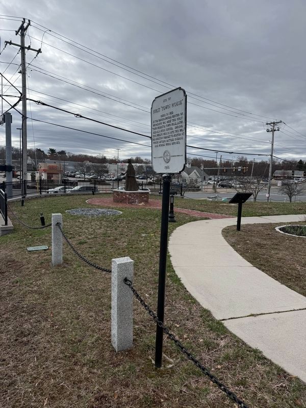
2. First “Town House” Marker

Photographed by G.W.Bartlett, April 4, 2026
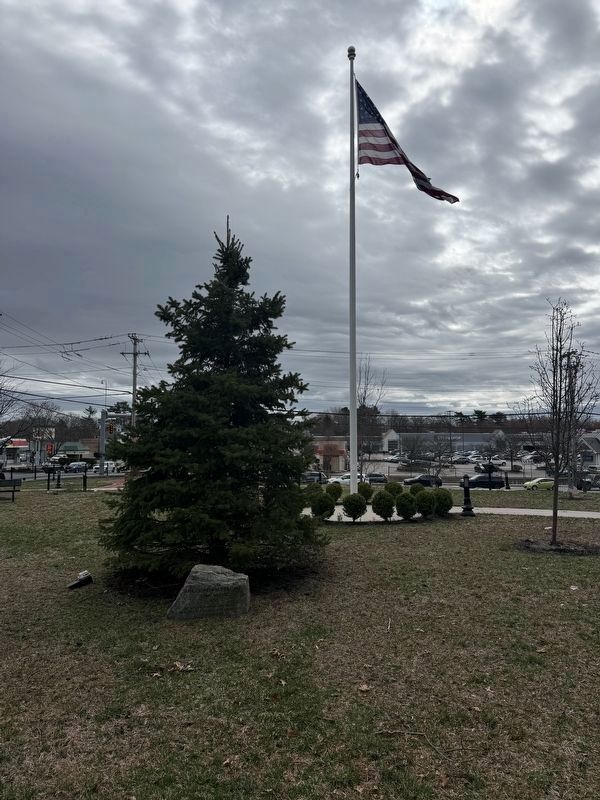
3. First “Town House” Boulder in Heritage Park
1852
This building served as Weymouth’s
first town meeting site, town offices and
first high school
Photographed by G.W.Bartlett, April 4, 2026
4. First “Town House” Boulder
Photographed by G.W.Bartlett, April 11, 2026
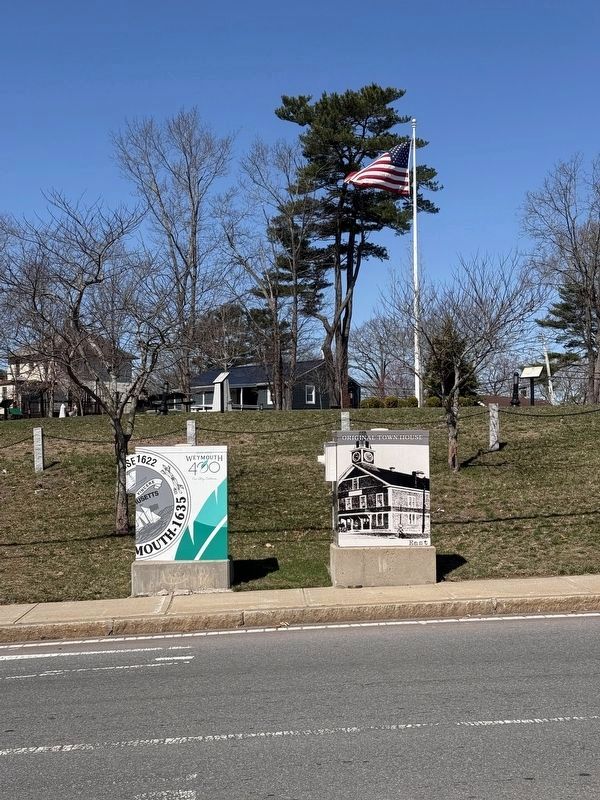
5. Original Town House Mural at Heritage Park
Credits. This page was last revised on April 13, 2026. It was originally submitted on April 4, 2026, by G.W.Bartlett of Hingham, Massachusetts. This page has been viewed 24 times since then. Photos: 1, 2, 3, 4. submitted on April 4, 2026, by G.W.Bartlett of Hingham, Massachusetts. 5. submitted on April 13, 2026, by G.W.Bartlett of Hingham, Massachusetts. • Michael Herrick was the editor who published this page.
