
Hot Springs National Park in Garland County, Arkansas — The American South (West South Central)
Geology Rocks!

Photographed by Darren Jefferson Clay, March 22, 2026
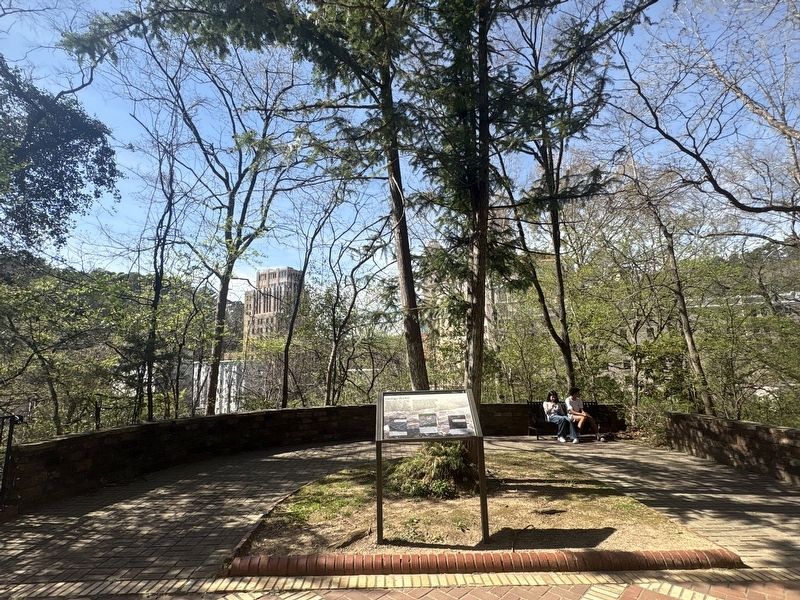
1. Geology Rocks! Marker
Captions:
The gray rock visible here is Hot Springs Sandstone, which was formed about 300 million years ago. The glassy cracks visible in the sandstone are quartz veins.
Tufa is a rock made of more recent mineral deposits of calcium, carbon, and oxygen left behind by the hot springs. When the Grand Promenade was built, many tufa deposits were removed from this area.
The black, flaky rock visible here is shale. Like sandstone, shale is often
this page online
Topics. This historical marker is listed in these topic lists: Environment • Natural Features.
Location. 34° 30.967′ N, 93° 3.135′ W. Marker is in Hot Springs, Arkansas, in Garland County. It is in Hot Springs National Park. It is on Central Avenue. Touch for map. Marker is in this post office area: Hot Springs National Park AR 71901, United States of America. Touch for directions.

Regionally, this marker is in Arkansas’ Ouachita Mountains. It is also in the American South and specifically in the Upper South. Globally, it is in North America, the Western Hemisphere, the Western World, and the Anglosphere. Historically, it finds itself in what was once the territory of the Mississippian Culture, the Louisiana Purchase, one of the Confederate States of America, and the Antebellum South.
Other nearby markers. At least 8 other markers are within walking distance of this marker: Advocate for Nature (within shouting distance of this marker); Water Quality through Time
Photographed by Darren Jefferson Clay, March 22, 2026
2. Geology Rocks! Marker
More about this marker. Marker can be found along the Grand Promenade
Credits. This page was last revised on April 18, 2026. It was originally submitted on April 9, 2026, by Darren Jefferson Clay of Duluth, Georgia. This page has been viewed 15 times since then. Photos: 1, 2. submitted on April 16, 2026, by Darren Jefferson Clay of Duluth, Georgia. • Andrew Ruppenstein was the editor who published this page.
