Hot Springs National Park in Garland County, Arkansas — The American South (West South Central)
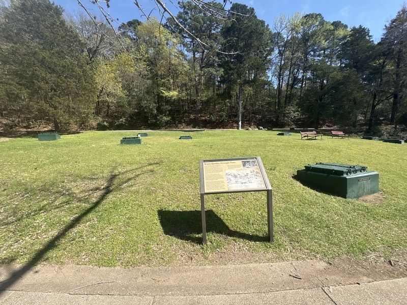
Water Quality through Time

Photographed by Darren Jefferson Clay, March 22, 2026
1. Water Quality through Time Marker
In January of 1859, surveyors measured 54 springs, numbering them according to their temperatures. The average recorded temperature of the hot springs was 134 °F (56.7 °C), and their flow was measured at about 450,000 gallons per day. Today, with more modern methods of measurement, the average daily flow is just under 700,000 gallons per day, and the average temperature of the monitored springs in January is 131 °F (55.1 °C).
In the early 1900s, the springs were re-numbered and named. Some springs became clogged with minerals over time and stopped flowing. As a result, the number of springs and their relative locations are much different today than depicted in this 1859 map by William Glasgow, Jr. (right).
What hasn't changed much is the amount of minerals dissolved in the water. For example, the amount of silicic acid (a mixture of silicon, hydrogen, and oxygen) in 1859 was 36 milligrams per liter (mg/L) of water, and lime (a mixture of calcium, hydrogen, and oxygen) was 42 mg/L. Today's data show that the average amount of silica (SiO 2 — silicon and oxygen) is 41.3 mg/L and calcium is 43.9 mg/L.
Topics. This
this page online
Location. 34° 30.939′ N, 93° 3.137′ W. Marker is in Hot Springs, Arkansas, in Garland County. It is in Hot Springs National Park. It can be reached from Central Avenue. Touch for map. Marker is in this post office area: Hot Springs National Park AR 71901, United States of America. Touch for directions.

Regionally, this marker is in the Ouachita Mountains. It is also in the American South and specifically in the Upper South. Globally, it is in North America, the Western Hemisphere, the Western World, and the Anglosphere. Historically, it finds itself in what was once the territory of the Mississippian Culture, the Louisiana Purchase, one of the Confederate States of America, and the Antebellum South.
Other nearby markers. At least 8 other markers are within walking distance of this marker: Advocate for Nature (within shouting distance of this marker); Strolling the Grand Promenade (within shouting distance of this marker); Thermophiles (within shouting distance of this marker); Geology Rocks!
Photographed by Darren Jefferson Clay, March 22, 2026
2. Water Quality through Time Marker
More about this marker. Marker can be found along the Grand Promenade.
Credits. This page was last revised on April 18, 2026. It was originally submitted on April 9, 2026, by Darren Jefferson Clay of Duluth, Georgia. This page has been viewed 11 times since then. Photos: 1, 2. submitted on April 16, 2026, by Darren Jefferson Clay of Duluth, Georgia. • Andrew Ruppenstein was the editor who published this page.
