Hot Springs National Park in Garland County, Arkansas — The American South (West South Central)
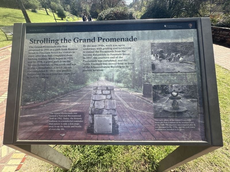
Strolling the Grand Promenade
Photographed by Darren Jefferson Clay, March 22, 2026
1. Strolling the Grand Promenade Marker
By the mid-1950s, work was again underway, with grading and brickwork to extend the Promenade from the Stevens Balustrade to Fountain Street. In 1957, the southern end of the Promenade was completed, and the Noble Fountain was moved from in front of the Administration Building to its present location.
Captions:
Workers pouring the concrete edges to the walkway in 1934.
This early photo of the Grand Promenade shows the Fish Fountain at the northern end of the walk. The fountain was removed after it was damaged in the 1970s, and the rock water fountain was installed in its place.
The Grand Promenade was named a National Recreational Trail in 1982. Today, the historic walkway is a wonderful reminder that
this page online
Topics. This historical marker is listed in these topic lists: Parks & Recreational Areas • Roads & Vehicles.
Location. 34° 30.933′ N, 93° 3.166′ W. Marker is in Hot Springs, Arkansas, in Garland County. It is in Hot Springs National Park. It can be reached from Central Avenue. Touch for map. Marker is in this post office area: Hot Springs National Park AR 71901, United States of America. Touch for directions.

Regionally, this marker is in the Ouachita Mountains. It is also in the American South and specifically in the Upper South. Globally, it is in North America, the Western Hemisphere, the Western World, and the Anglosphere. Historically, it finds itself in what was once the territory of the Mississippian Culture, the Louisiana Purchase, one of the Confederate States of America, and the Antebellum South.
Other nearby markers. At least 8 other markers are within walking distance of this marker: Advocate for Nature (within shouting distance of this marker); Thermophiles (within shouting
Photographed by Darren Jefferson Clay, March 22, 2026
2. Strolling the Grand Promenade Marker
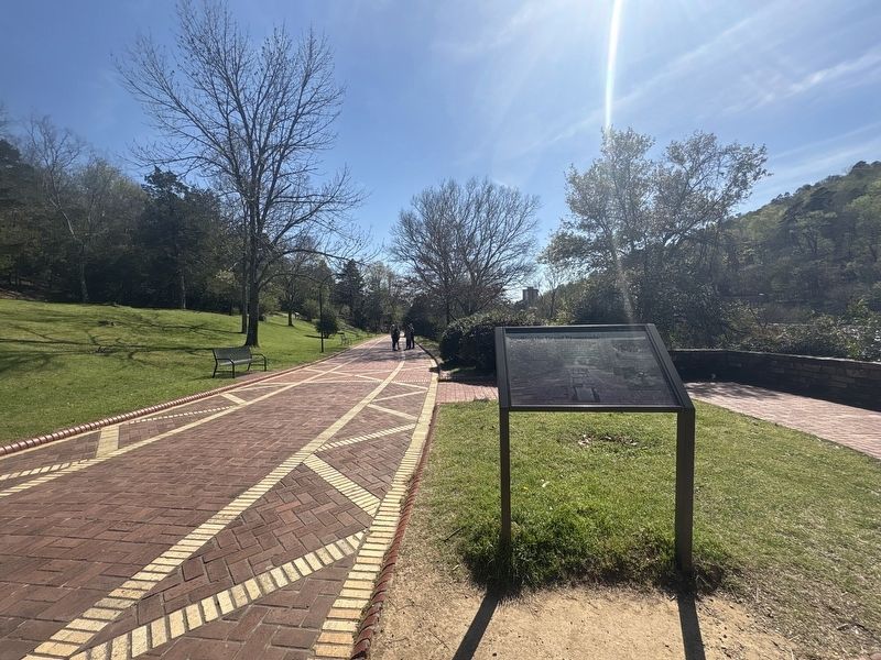
More about this marker. Marker can be found along the Grand Promenade
Credits. This page was last revised on April 18, 2026. It was originally submitted on April 9, 2026, by Darren Jefferson Clay of Duluth, Georgia. This page has been viewed 16 times since then. Photos: 1, 2. submitted on April 16, 2026, by Darren Jefferson Clay of Duluth, Georgia. • Andrew Ruppenstein was the editor who published this page.
