Scotland in St. Mary's County, Maryland — The American Northeast (Mid-Atlantic)
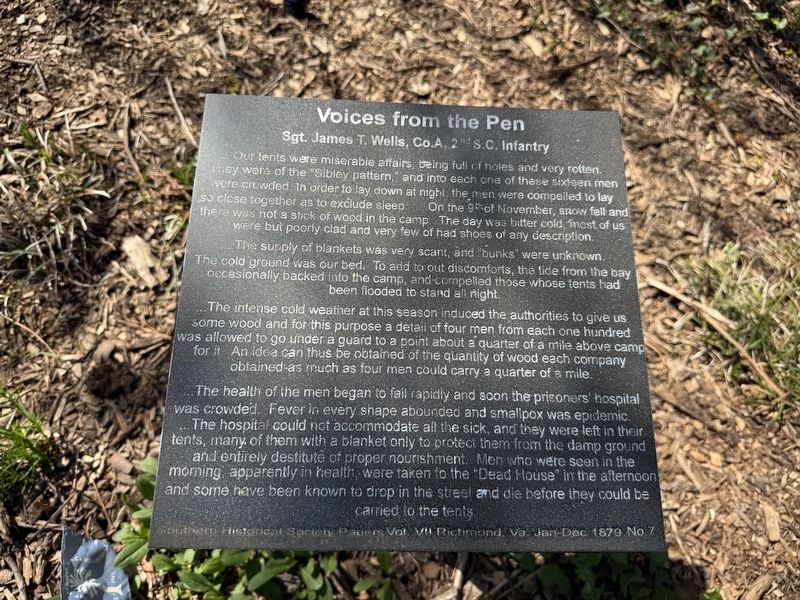
Sgt. James T. Wells, Co. A, 2nd S.C. Infantry
| — | Voices from the Pen | — |
April 11, 2026
1. Sgt. James T. Wells, Co. A, 2nd S.C. Infantry Marker
… Our tents were miserable affairs, being full of holes and very rotten. They were of the "Sibley pattern," and into each one of these sixteen men were crowded. In order to lay down at night, the men were compelled to lay so close together as to exclude sleep. On the 9th of November, snow fell and there was not a stick of wood in the camp. The day was bitter cold, most of us were but poorly clad and very few of had shoes of any description.
The supply of blankets was very scant, and "bunk" were unknown. The cold ground was our bed. To add to out discomforts, the tide from the bay occasionally backed into the camp, and compelled those, whose tents had been flooded to stand all night.
…The intense cold weather at this season induced the authorities to give us some wood and for this purpose a detail of four men from each one hundred was allowed to go under a guard to a point about a quarter of a mile above camp for it. An idea can thus be obtained from the quantity of wood each company obtained as much as four men could carry a quarter of a mile.
…The health of the men began to fail rapidly and soon the prisoners'
this page online
Erected by Confederate Memorial Park, Inc.
Topics and series. This historical marker is listed in these topic lists: Science & Medicine • War, US Civil. In addition, it is included in the Sons of Confederate Veterans/United Confederate Veterans, and the United Daughters of the Confederacy series lists. A significant historical year for this entry is 1879.
Location. 38° 4.402′ N, 76° 20.46′ W. Marker is in Scotland, Maryland, in St. Mary's County. It is on Point Lookout Road (Route 5) east of St. Michaels Manor Way, on the right when traveling east. Touch for map. Marker is
April 11, 2026
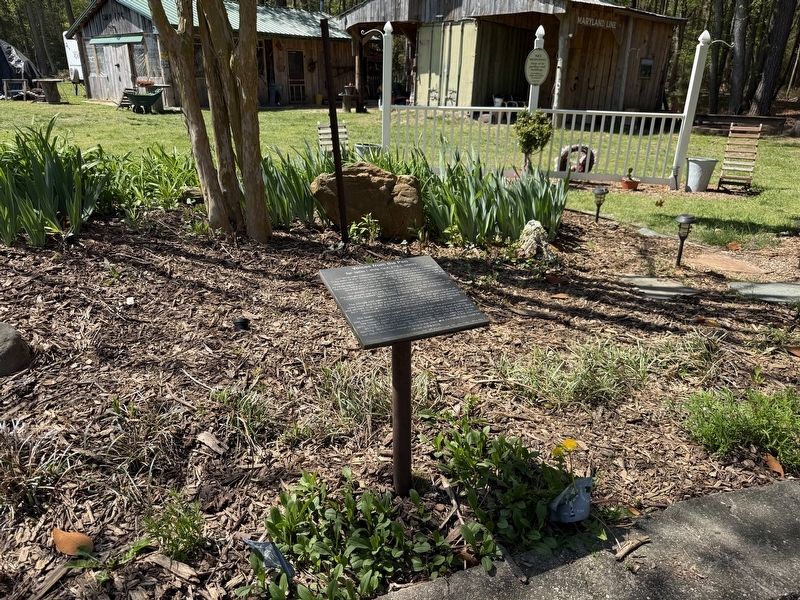
2. Sgt. James T. Wells, Co. A, 2nd S.C. Infantry Marker

Regionally, this marker is in Southern Maryland. It is also in the American South, specifically in the Upper South, in the Mid-Atlantic, in the Tidewater, in the Chesapeake Bay Region, and on the Eastern Seaboard. Globally, it is in the North Atlantic Region, North America, the Western Hemisphere, the Western World, and the Anglosphere. Historically, it finds itself in what was once one of the original Thirteen Colonies and also the Antebellum South.
Other nearby markers. At least 8 other markers are within walking distance of this marker: Pvt. David E. Holt (here, next to this marker); Henry Oldham Robertson (here, next to this marker); Capt. Robert E. Park (here, next to this marker); Pvt. A.J. Cone, Co. I 18th Georgia Infantry (here, next to this marker); How Yankee Guards Fared at Pt. Lookout (here, next to this marker); Wilbur Wightman Gramling (here, next to this marker); "The Bean Pot" (a few steps from this marker); Sgt. Peyton P. Maddox / Pvt. W. Robinson (a few steps from this marker). Touch for a list and map of all markers in Scotland.
Credits. This page was last revised on April 12, 2026. It was originally submitted on April 12, 2026. This page has been viewed 11 times since then. Photos: 1, 2. submitted on April 12, 2026.
